List · 29 mapped
Treks and hikes in the Andes
29 places with a mapped walking route each, on one map: distance, climb, time and a free GPX on every page. Most searched first, from Salcantay (6,271 m).
Treks and hikes in the Andes on the map
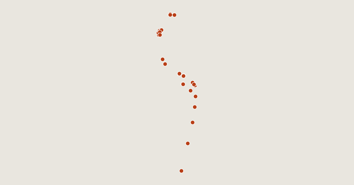
29 routes on the list
Most searched first. Each page has the route's distance, climb, time and a GPX.
- 1SalcantayCusco Department, Peru6.2 km · +781 m · about 3 h · T2 Ends 1,590 m below the summit.6,271 mGPX
- 2AusangateCusco Department, Peru8.5 km · +1,167 m · about 4 h · T1 Ends 740 m below the summit.6,372 mGPX
- 3Cotopaxi volcanoCotopaxi Province, Ecuador3.1 km · +1,254 m · about 3 h · T25,897 mGPX
- 4AconcaguaMendoza Province, Argentina9.4 km · +2,561 m · about 6.5 h · T56,962 mGPX
- 5Huayna PicchuCusco Department, Peru0.6 km · +158 m · about 0.5 h · T22,693 mGPX
- 6ChimborazoChimborazo Province, Ecuador4.1 km · +1,436 m · about 3.5 h · T56,264 mGPX
- 7AlpamayoÁncash Department, Peru12 km · +1,028 m · about 4.5 h · T3 Ends 1,280 m below the summit.5,947 mGPX
- 8Ojos del SaladoCatamarca Province, Argentina3.0 km · +958 m · about 2.5 h · T46,893 mGPX
- 9MonserrateBogotá, Colombia2.6 km · +488 m · about 1.5 h · T13,152 mGPX
- 10Pichincha VolcanoPichincha Province, Ecuador1.1 km · +215 m · about 0.5 h4,776 mGPX
- 11PasochoaEcuador1.2 km · +320 m · about 1 h4,200 mGPX
- 12VinicuncaCusco Department, Peru1.7 km · +144 m · about 0.5 h · T25,036 mGPX
- 13QuilotoaCotopaxi Province, Ecuador5.3 km · +784 m · about 2.5 h · T23,800 mGPX
- 14Huayna PotosíLa Paz Department, Bolivia4.9 km · +1,282 m · about 3.5 h · T56,088 mGPX
- 15ChachaniArequipa Department, Peru5.7 km · +1,016 m · about 3 h · T36,057 mGPX
- 16IllimaniLa Paz Department, Bolivia5.7 km · +1,800 m · about 4.5 h · T4 Ends 30 m below the summit.6,438 mGPX
- 17Villarrica VolcanoAraucanía Region, Chile4.0 km · +1,369 m · about 3.5 h2,850 mGPX
- 18CayambePichincha Province, Ecuador5.0 km · +1,407 m · about 3.5 h · T55,790 mGPX
- 19Nevado del RuizCaldas Department, Colombia6.4 km · +1,241 m · about 3.5 h · T45,389 mGPX
- 20Nevado del TolimaTolima Department, Colombia8.7 km · +3,043 m · about 7 h · T45,200 mGPX
- 21ParinacotaArica y Parinacota Region, Chile4.7 km · +1,501 m · about 3.5 h · T5 Ends 10 m below the summit.6,348 mGPX
- 22RumiñahuiPichincha Province, Ecuador4.0 km · +719 m · about 2 h4,721 mGPX
- 23IllampuLa Paz Department, Bolivia5.6 km · +1,042 m · about 3 h · T3 Ends 1,130 m below the summit.6,485 mGPX
- 24ChacaltayaLa Paz Department, Bolivia0.9 km · +155 m · about 0.5 h · T35,421 mGPX
- 25Tungurahua volcanoTungurahua Province, Ecuador5.9 km · +2,086 m · about 5 h · T5 Ends 140 m below the summit.5,016 mGPX
- 26LicancaburPotosí Department, Bolivia3.4 km · +1,301 m · about 3 h · T55,920 mGPX
- 27MistiArequipa Department, Peru7.3 km · +1,858 m · about 5 h · T45,825 mGPX
- 28Siula GrandeHuanuco Department, Peru2.1 km · +338 m · about 1 h Ends 1,910 m below the summit.6,344 mGPX
- 29Tunupa volcanoPotosí Department, Bolivia2.4 km · +642 m · about 1.5 h · T2 Ends 90 m below the summit.5,432 mGPX
Related lists and places
More trek lists
- Treks and hikes in United States
- Treks and hikes in Italy
- Treks and hikes in the Alps
- Treks and hikes in United Kingdom
- Treks and hikes in Japan
- Treks and hikes in the Himalayas
- Treks and hikes in Switzerland
- Treks and hikes in Australia
- Treks and hikes in Nepal
- Treks and hikes in Indonesia
- Treks and hikes in Spain
- Treks and hikes in Ireland