List · 14 mapped
Treks and hikes in Nepal
14 places with a mapped walking route each, on one map: distance, climb, time and a free GPX on every page. Most searched first, from Sandakpu (3,636 m).
Treks and hikes in Nepal on the map
- Peak
- Trek
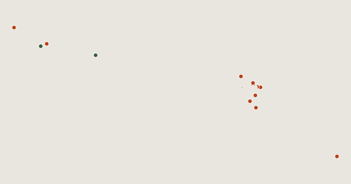
14 routes on the list
Most searched first. Each page has the route's distance, climb, time and a GPX.
- 1SandakpuKoshi Province, Nepal5.2 km · +1,249 m · about 3.5 h3,636 mGPX
- 2Mera PeakEastern Development Region, Nepal6.4 km · +1,556 m · about 4 h · T4 Ends 10 m below the summit.6,476 mGPX
- 3Gokyo RiNepal1.6 km · +595 m · about 1.5 h · T15,357 mGPX
- 4Ama DablamEastern Development Region, Nepal11 km · +2,798 m · about 7.5 h · T66,814 mGPX
- 5Kala PattharKoshi Province, Nepal1.8 km · +448 m · about 1 h · T2 Ends 60 m below the summit.5,645 mGPX
- 6DhaulagiriGandaki Province, Nepal4.4 km · +603 m · about 2 h · T4 Ends 4,420 m below the summit.8,167 mGPX
- 7Cho OyuEastern Development Region, Nepal4.4 km · +280 m · about 1.5 h · T2 Ends 2,490 m below the summit.8,188 mGPX
- 8ThamserkuKhumbu, Nepal1.6 km · +500 m · about 1 h · T1 Ends 2,200 m below the summit.6,623 mGPX
- 9LhotseEastern Development Region, Nepal9.5 km · +1,430 m · about 5 h · T6 Ends 2,310 m below the summit.8,516 mGPX
- 10MachhapuchhreWestern Development Region, Nepal15 km · +3,154 m · about 9 h · T3 Ends 1,850 m below the summit.6,993 mGPX
- 11NuptseEastern Development Region, Nepal10 km · +1,158 m · about 4.5 h · T6 Ends 1,550 m below the summit.7,861 mGPX
- 12PumoriEastern Development Region, Nepal3.8 km · +443 m · about 1.5 h · T2 Ends 1,520 m below the summit.7,161 mGPX
- 13Manaslu CircuitNepal147 km · +12,197 m · about 10 daysGPX
- 14Annapurna Base Camp TrekNepal24 km · +1,148 m · about 8 hGPX
Related lists and places
More trek lists
- Treks and hikes in United States
- Treks and hikes in Italy
- Treks and hikes in the Alps
- Treks and hikes in the Andes
- Treks and hikes in United Kingdom
- Treks and hikes in Japan
- Treks and hikes in the Himalayas
- Treks and hikes in Switzerland
- Treks and hikes in Australia
- Treks and hikes in Indonesia
- Treks and hikes in Spain
- Treks and hikes in Ireland