List · 11 mapped
Treks and hikes in Indonesia
11 places with a mapped walking route each, on one map: distance, climb, time and a free GPX on every page. Most searched first, from Mount Batur (1,717 m).
Treks and hikes in Indonesia on the map
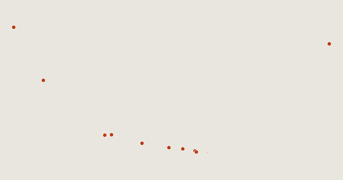
11 routes on the list
Most searched first. Each page has the route's distance, climb, time and a GPX.
- 1Mount BaturBali, Indonesia1.4 km · +374 m · about 1 h · T21,717 mGPX
- 2RinjaniWest Nusa Tenggara, Indonesia12 km · +2,455 m · about 7 h · T33,726 mGPX
- 3Mount AgungBali, Indonesia4.3 km · +1,473 m · about 3.5 h · T33,142 mGPX
- 4Mount BromoEast Java, Indonesia1.9 km · +275 m · about 1 h · T32,329 mGPX
- 5IjenEast Java, Indonesia5.3 km · +947 m · about 3 h Ends 70 m below the summit.2,769 mGPX
- 6Mount KerinciJambi, Indonesia6.8 km · +2,018 m · about 5 h · T33,805 mGPX
- 7MerapiYogyakarta, Indonesia3.2 km · +1,113 m · about 2.5 h · T32,910 mGPX
- 8Mount SibayakNorth Sumatra, Indonesia1.6 km · +226 m · about 1 h · T3 Ends 250 m below the summit.2,212 mGPX
- 9DukonoNorth Maluku, Indonesia12 km · +799 m · about 4 h Ends 390 m below the summit.1,335 mGPX
- 10Mount GedeWest Java, Indonesia5.5 km · +1,198 m · about 3.5 h2,958 mGPX
- 11Tangkuban PerahuWest Java, Indonesia1.2 km · +26 m · about 0.5 h2,084 mGPX
Related lists and places
More trek lists
- Treks and hikes in United States
- Treks and hikes in Italy
- Treks and hikes in the Alps
- Treks and hikes in the Andes
- Treks and hikes in United Kingdom
- Treks and hikes in Japan
- Treks and hikes in the Himalayas
- Treks and hikes in Switzerland
- Treks and hikes in Australia
- Treks and hikes in Nepal
- Treks and hikes in Spain
- Treks and hikes in Ireland