Andes
Cordillera Occidental Map: Peaks, Passes and Hikes in 3D
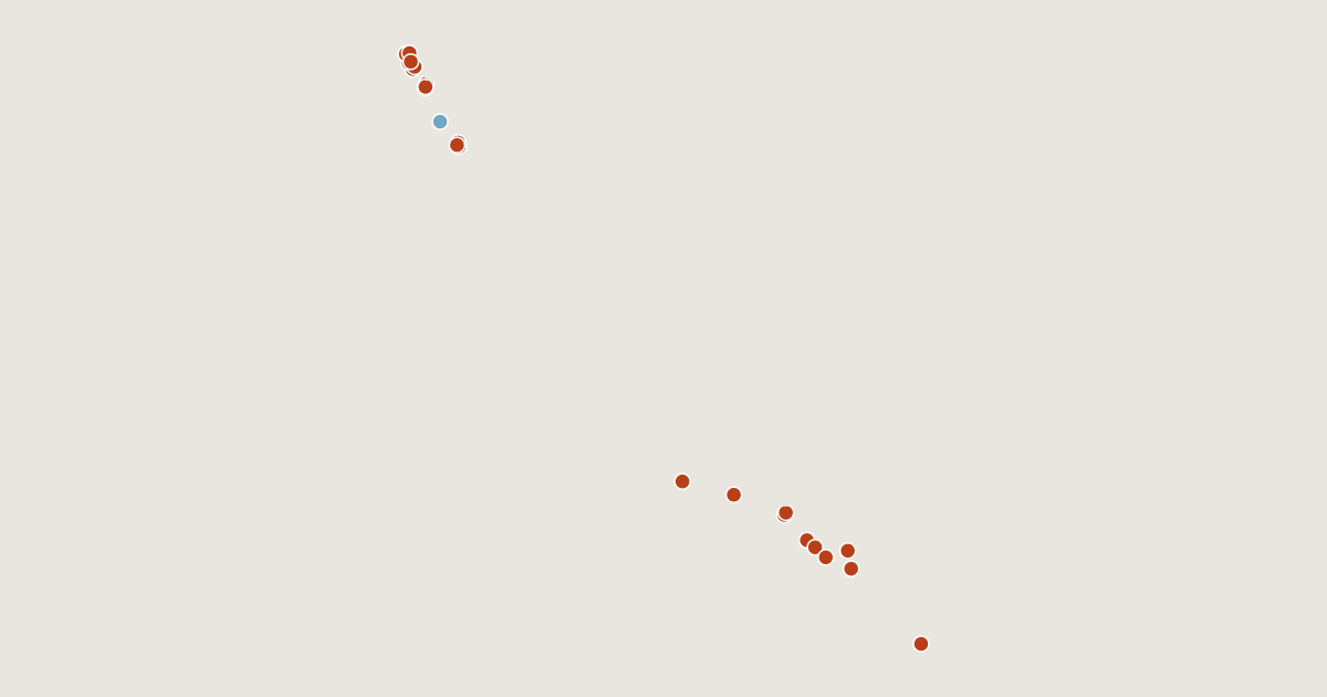
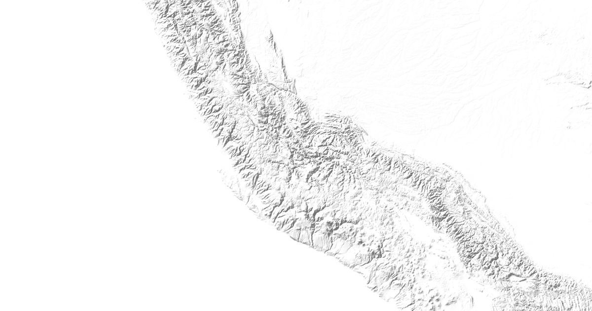
Map of 24 places in Cordillera Occidental: 23 peaks and 1 glacier, each with a 3D terrain model, contours and an elevation profile.
Sub-areas


Lists
- Peak
- Glacier
Highest Mountains in the Cordillera Occidental
23 peaks
| # | Peak | Elevation | Prominence | Region |
|---|---|---|---|---|
| 9 | Ranrapalca | 6,162 m | 962 m | Áncash Department, Peru |
| 10 | Jirishanca | 6,094 m | 588 m | Áncash Department, Peru |
| 11 | Chachani | 6,057 m | 1,969 m | Arequipa Department, Peru |
| 12 | Tocllaraju | 6,032 m | 548 m | Áncash Department, Peru |
| 13 | Rasac | 6,017 m | 395 m | Lima Department, Peru |
| 14 | Sabancaya | 5,976 m | 395 m | Arequipa Department, Peru |
| 15 | Tacora | 5,960 m | 1,700 m | Arica y Parinacota Region, Chile |
| 16 | Alpamayo | 5,947 m | 526 m | Áncash Department, Peru |
| 17 | Misti | 5,825 m | 1,794 m | Arequipa Department, Peru |
| 18 | Pisco | 5,760 m | 388 m | Áncash Department, Peru |
| 19 | Ubinas | 5,672 m | 1,167 m | Moquegua Department, Peru |
| 20 | Pichu Pichu | 5,665 m | 1,323 m | Arequipa Department, Peru |
| 21 | Ishinca | 5,530 m | 190 m | Áncash Department, Peru |
| 22 | Sara Sara | 5,505 m | 2,061 m | Ayacucho Department, Peru |
| 23 | Huaynaputina | 4,850 m | 120 m | Moquegua Department, Peru |
Glaciers
1 glacier