List · 11 mapped
Treks and hikes in Australia
11 places with a mapped walking route each, on one map: distance, climb, time and a free GPX on every page. Most searched first, from Mount Kosciuszko (2,228 m).
Treks and hikes in Australia on the map
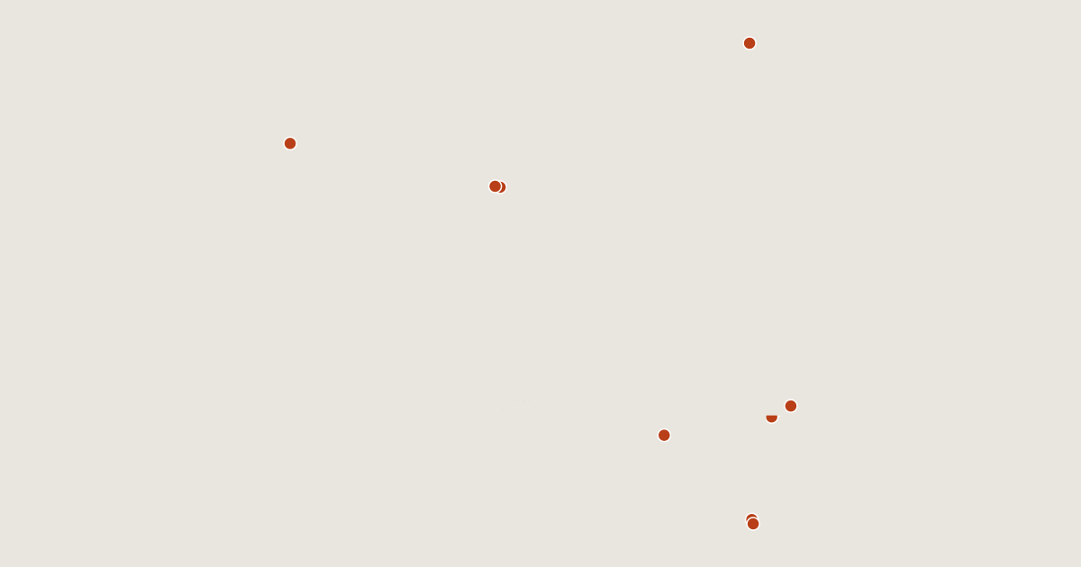
11 routes on the list
Most searched first. Each page has the route's distance, climb, time and a GPX.
- 1Mount KosciuszkoNew South Wales, Australia6.3 km · +321 m · about 2 h2,228 mGPX
- 2Cradle MountainTasmania, Australia5.2 km · +647 m · about 2.5 h · T31,545 mGPX
- 3UluruNorthern Territory, Australia1.0 km · +129 m · about 0.5 h Ends 210 m below the summit.863 mGPX
- 4Mount BogongVictoria, Australia2.7 km · +506 m · about 1.5 h · T21,986 mGPX
- 5Mount FeathertopVictoria, Australia7.0 km · +928 m · about 3.5 h · T31,922 mGPX
- 6Mount Bartle FrereQueensland, Australia7.6 km · +1,059 m · about 3.5 h1,611 mGPX
- 7Kata TjutaNorthern Territory, Australia1.3 km · +42 m · about 0.5 h Ends 400 m below the summit.1,069 mGPX
- 8Mount GambierSouth Australia, Australia0.5 km · +71 m · about 0.5 h190 mGPX
- 9Mount OssaTasmania, Australia12 km · +1,114 m · about 5 h · T31,617 mGPX
- 10Mount HothamVictoria, Australia0.5 km · +12 m · about 0.5 h1,861 mGPX
- 11Mount MeharryWestern Australia, Australia6.4 km · +464 m · about 2.5 h1,251 mGPX
Related lists and places
More trek lists
- Treks and hikes in United States
- Treks and hikes in Italy
- Treks and hikes in the Alps
- Treks and hikes in the Andes
- Treks and hikes in United Kingdom
- Treks and hikes in Japan
- Treks and hikes in the Himalayas
- Treks and hikes in Switzerland
- Treks and hikes in Nepal
- Treks and hikes in Indonesia
- Treks and hikes in Spain
- Treks and hikes in Ireland