List · 10 mapped
Treks and hikes in Canada
10 places with a mapped walking route each, on one map: distance, climb, time and a free GPX on every page. Most searched first, from Sulphur Mountain (2,451 m).
Treks and hikes in Canada on the map
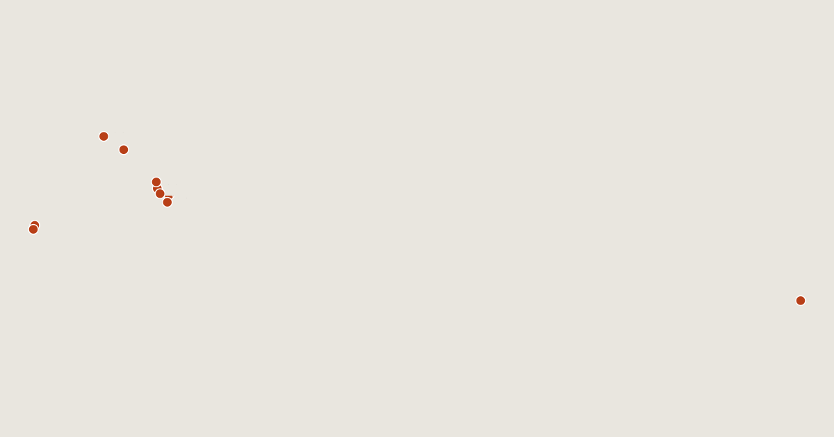
10 routes on the list
Most searched first. Each page has the route's distance, climb, time and a GPX.
- 1Sulphur MountainAlberta, Canada3.2 km · +338 m · about 1.5 h · T42,451 mGPX
- 2Mount RobsonBritish Columbia, Canada10 km · +2,128 m · about 6 h · T5 Ends 1,390 m below the summit.3,954 mGPX
- 3Mount AssiniboineAlberta, Canada13 km · +2,241 m · about 7 h3,618 mGPX
- 4Mount TempleAlberta, Canada13 km · +1,916 m · about 6.5 h · T43,543 mGPX
- 5Mount Edith CavellAlberta, Canada6.1 km · +1,671 m · about 4.5 h · T63,363 mGPX
- 6Whistler MountainBritish Columbia, Canada4.8 km · +348 m · about 2 h · T22,181 mGPX
- 7Ishpatina RidgeOntario, Canada11 km · +477 m · about 3.5 h693 mGPX
- 8Stanley PeakBritish Columbia, Canada8.0 km · +1,681 m · about 5 h3,155 mGPX
- 9Mount PriceBritish Columbia, Canada14 km · +1,620 m · about 6 h · T22,049 mGPX
- 10Mount HectorAlberta, Canada6.2 km · +1,445 m · about 4 h3,394 mGPX
Related lists and places
More trek lists
- Treks and hikes in United States
- Treks and hikes in Italy
- Treks and hikes in the Alps
- Treks and hikes in the Andes
- Treks and hikes in United Kingdom
- Treks and hikes in Japan
- Treks and hikes in the Himalayas
- Treks and hikes in Switzerland
- Treks and hikes in Australia
- Treks and hikes in Nepal
- Treks and hikes in Indonesia
- Treks and hikes in Spain