Asia
India Mountains Map: Lakes, Peaks and Passes in 3D
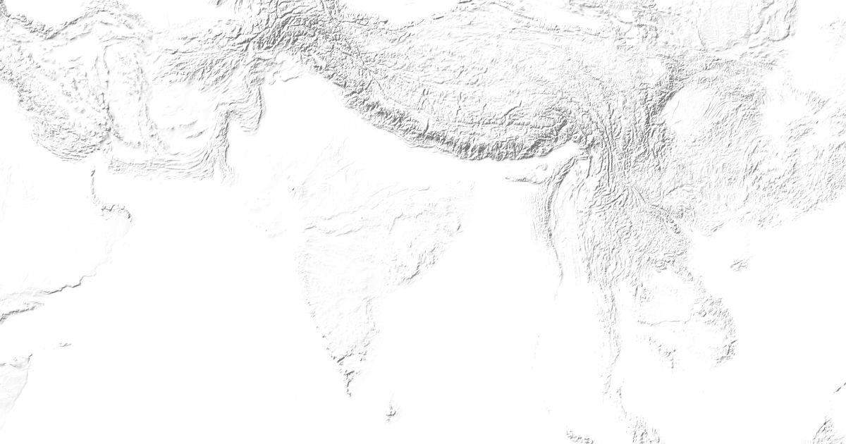
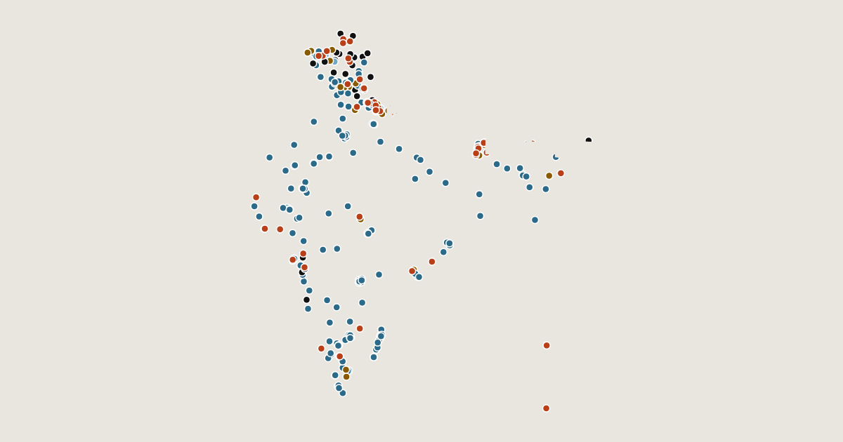
Map of 313 places in India: 197 lakes, 51 peaks, 35 passes, 22 canyons and 8 glaciers, each with a 3D terrain model, contours and an elevation profile.
Regions
Sikkim · Ladakh · Tamil Nadu · Telangana · Andhra Pradesh · Karnataka · Kerala · Odisha · West Bengal · Jammu and Kashmir
Lists
- Canyon
- Pass
- Peak
- Lake
- Glacier
Lakes
197 lakes
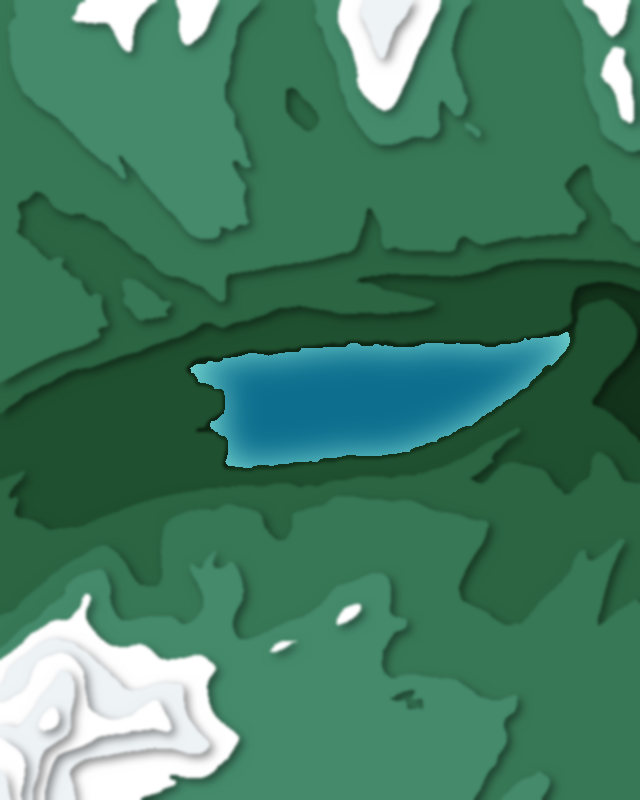
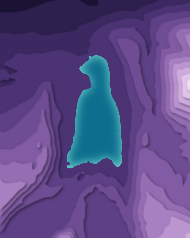
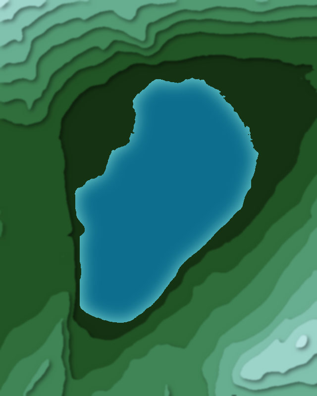
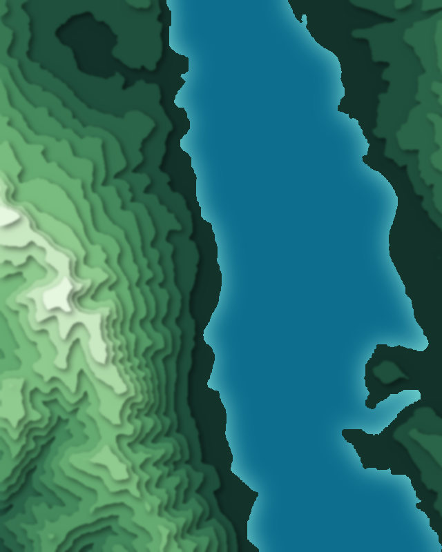
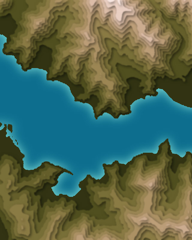
| # | Place | Type | Elevation | Prominence | Region |
|---|---|---|---|---|---|
| 9 | Krishansar Lake | Lake | 3,801 m | — | Jammu and Kashmir, India |
| 10 | Lake Tsongmo | Lake | 3,780 m | — | East Sikkim district, India |
| 11 | Gadsar Lake | Lake | 3,600 m | — | Jammu and Kashmir, India |
| 12 | Sheshnag Lake | Lake | 3,575 m | — | Jammu and Kashmir, India |
| 13 | Pulicat Lake | Lake | 0 m | — | India |
| 14 | Loktak Lake | Lake | — | — | India |
| 15 | Badkhal Lake | Lake | — | — | India |
| 16 | Keetham Lake | Lake | — | — | India |
| 17 | Sanjay Lake | Lake | — | — | India |
| 18 | Bakhira Sanctuary | Lake | — | — | Uttar Pradesh, India |
| 19 | Surha tal | Lake | — | — | India |
| 20 | Ramgarh Tal Lake | Lake | — | — | India |
| 21 | Ramaroshan Site | Lake | — | — | India |
| 22 | Palak dïl | Lake | — | — | India |
| 23 | Sirpur Lake | Lake | — | — | India |
| 24 | Chittaura Jheel | Lake | — | — | India |
| 25 | Lahartara Pond | Lake | — | — | Uttar Pradesh, India |
Highest Mountains in India
51 peaks
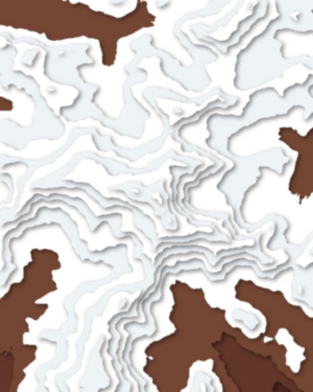
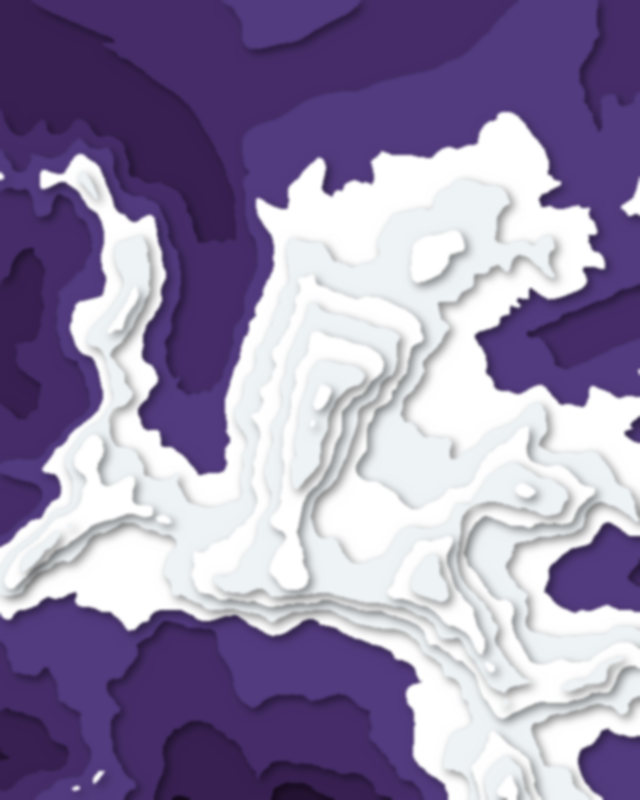
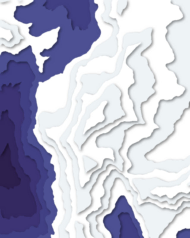
| # | Peak | Elevation | Prominence | Region |
|---|---|---|---|---|
| 9 | Kangto | 7,090 m | 2,225 m | Arunachal Pradesh, India |
| 10 | Satopanth | 7,075 m | 1,083 m | India |
| 11 | Dunagiri | 7,066 m | 1,327 m | India |
| 12 | Nyegyi Kansang | 7,047 m | 1,746 m | Arunachal Pradesh, India |
| 13 | Shudu Tsenpa | 7,024 m | 537 m | India |
| 14 | Kalanka | 6,931 m | 763 m | Uttarakhand, India |
| 15 | Thalay Sagar | 6,904 m | 1,184 m | Uttarakhand, India |
| 16 | Khangchengyao | 6,889 m | 1,471 m | Sikkim, India |
| 17 | Nanda Kot | 6,861 m | 1,576 m | India |
| 18 | Reo Purgyil | 6,816 m | 1,978 m | Himachal Pradesh, India |
| 19 | Mount Gya | 6,794 m | 1,915 m | Himachal Pradesh, India |
| 20 | Haathi Parvat | 6,727 m | 1,666 m | India |
| 21 | Mount Pandim | 6,691 m | 1,746 m | Sikkim, India |
| 22 | Shivling | 6,543 m | 889 m | Uttarakhand, India |
| 23 | Kang Yatze | 6,400 m | 1,288 m | India |
| 24 | NJ9842 | 6,389 m | 753 m | Pakistan |
| 25 | Nanda Ghunti | 6,309 m | 1,217 m | Uttarakhand, India |
| 26 | Indrasan | 6,221 m | 1,238 m | India |
| 27 | Stok Kangri | 6,137 m | 866 m | India |
| 28 | Deo Tibba | 6,001 m | 416 m | India |
| 29 | Om Parvat | 5,590 m | 320 m | Uttarakhand, India |
| 30 | Kolahoi Peak | 5,425 m | 1,573 m | Jammu and Kashmir, India |
| 31 | Tiger Hill, Kargil | 5,307 m | 522 m | Ladakh, India |
| 32 | Barren Island | 353 m | 353 m | Andaman and Nicobar Islands, India |
Passes
35 passes
| # | Place | Type | Elevation | Prominence | Region |
|---|---|---|---|---|---|
| 9 | Changla Pass | Pass | 5,360 m | — | India |
| 10 | Khardung La | Pass | 5,359 m | — | India |
| 11 | Taglang La | Pass | 5,328 m | — | Ladakh, India |
| 12 | Pin Parvati Pass | Pass | 5,319 m | — | India |
| 13 | Kongka Pass | Pass | 5,171 m | — | China |
| 14 | Lipulekh Pass | Pass | 5,099 m | — | India |
| 15 | Shingo La Pass | Pass | 5,040 m | — | India |
Canyons
22 canyons
- Solang Valley
- Araku Valley
- Spiti Valley
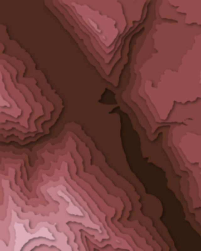
- Yumthang Valley
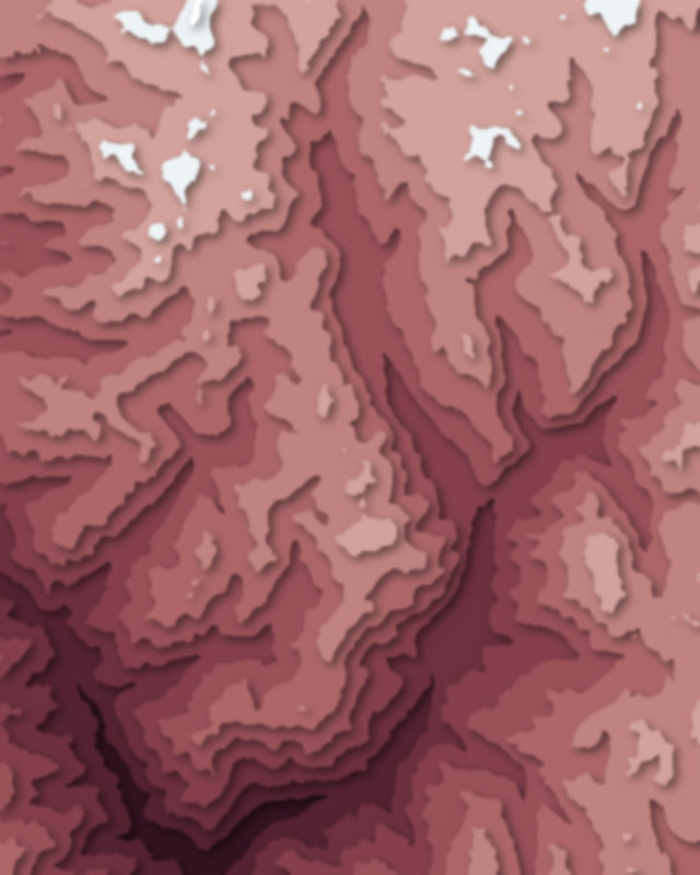
- Parvati Valley
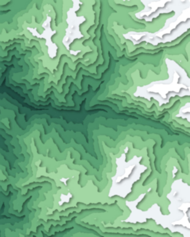
- Betaab Valley
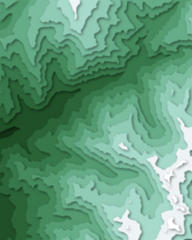
- Kangra Valley
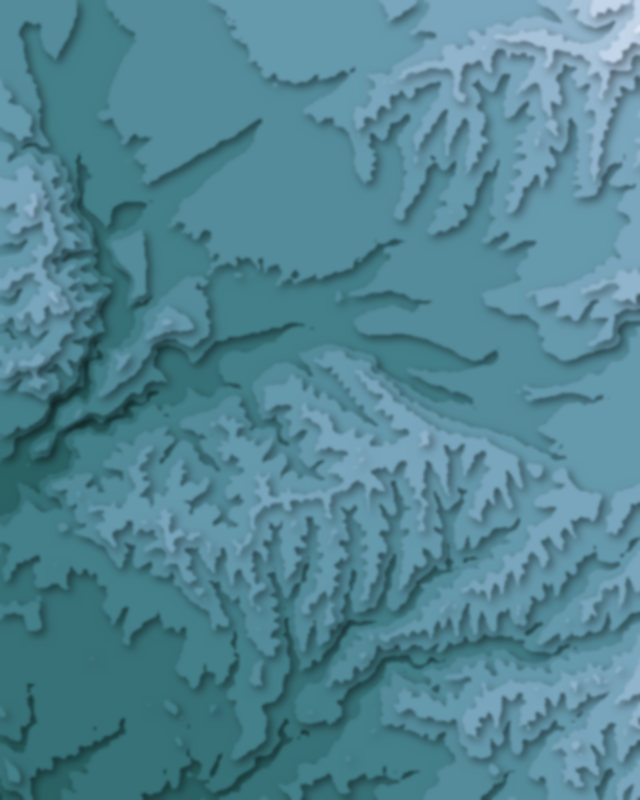
- Kullu Valley
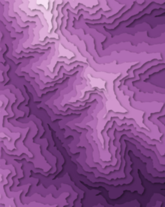
| # | Place | Type | Elevation | Prominence | Region |
|---|---|---|---|---|---|
| 9 | Suru Valley | Canyon | — | — | Ladakh, India |
| 10 | Doon Valley | Canyon | — | — | India |
| 11 | Lolab Valley | Canyon | — | — | Jammu and Kashmir, India |
| 12 | Niti Valley | Canyon | — | — | India |
Glaciers
8 glaciers
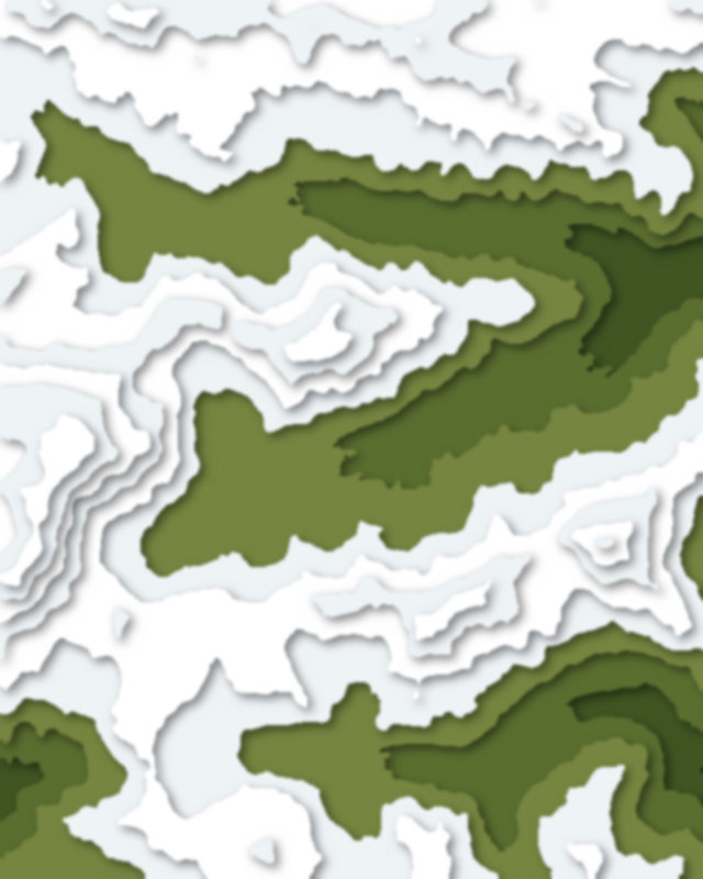
- Jammu and Kashmir18
- Uttarakhand18
- Himachal Pradesh15
- Rajasthan14
- Maharashtra13
- Gujarat12
- Sikkim11
- Ladakh10
- Tamil Nadu8
- Telangana8
- Andhra Pradesh7
- Karnataka7
- Kerala6
- Odisha4
- West Bengal4
- Jammu and Kashmir3