List · 14 mapped
Treks and hikes in Norway
14 places with a mapped walking route each, on one map: distance, climb, time and a free GPX on every page. Most searched first, from Kjerag (1,100 m).
Treks and hikes in Norway on the map
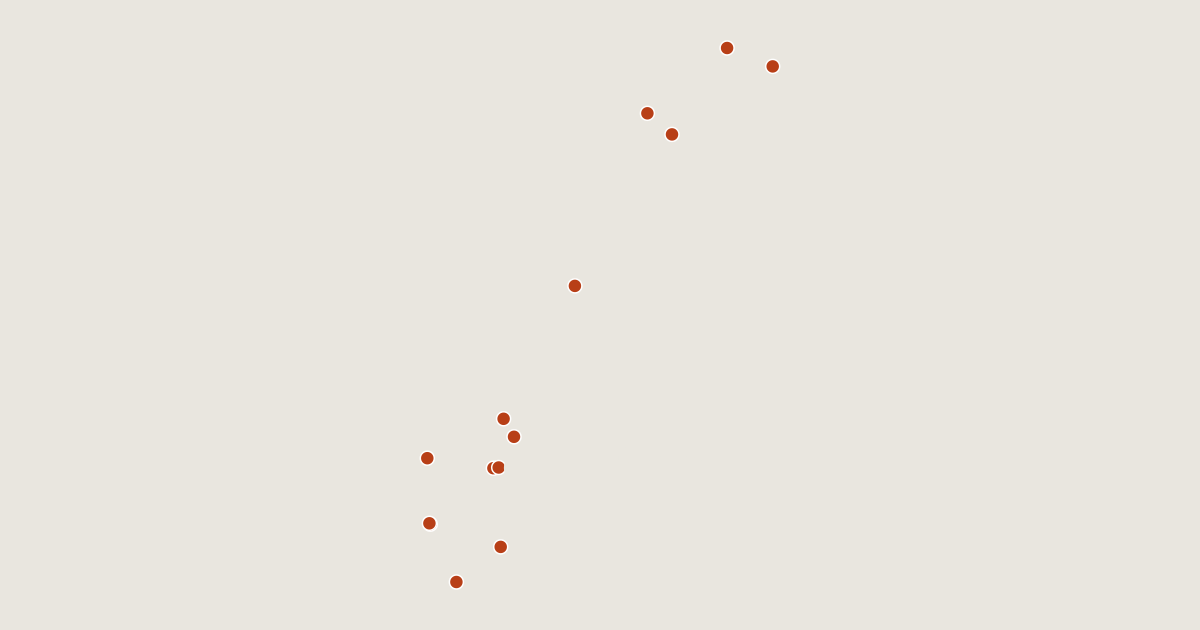
14 routes on the list
Most searched first. Each page has the route's distance, climb, time and a GPX.
- 1KjeragRogaland, Norway6.3 km · +249 m · about 2 h · T2 Ends 100 m below the summit.1,100 mGPX
- 2UlrikenVestland, Norway2.4 km · +547 m · about 1.5 h · T2643 mGPX
- 3GaldhøpiggenInnlandet, Norway6.0 km · +1,402 m · about 4 h · T22,469 mGPX
- 4GaustatoppenTelemark, Norway5.0 km · +705 m · about 2.5 h · T41,882 mGPX
- 5FløyenVestland, Norway0.9 km · +70 m · about 0.5 h · T2399 mGPX
- 6TorghattenNordland, Norway1.3 km · +223 m · about 0.5 h · T4258 mGPX
- 7TromsdalstindenTroms, Norway9.7 km · +1,272 m · about 4.5 h · T31,238 mGPX
- 8HaltiTroms, Norway5.3 km · +548 m · about 2 h1,361 mGPX
- 9SnøhettaInnlandet, Norway5.5 km · +805 m · about 2.5 h · T12,286 mGPX
- 10GlittertindInnlandet, Norway8.1 km · +1,520 m · about 4.5 h · T32,464 mGPX
- 11MøysalenNordland, Norway9.5 km · +1,481 m · about 5 h · T41,264 mGPX
- 12StetindenNordland, Norway3.8 km · +908 m · about 2.5 h · T1 Ends 410 m below the summit.1,392 mGPX
- 13HornelenVestland, Norway6.0 km · +973 m · about 3 h · T2860 mGPX
- 14InnerdalstårnetMøre og Romsdal, Norway4.3 km · +1,052 m · about 3 h1,452 mGPX
Related lists and places
More trek lists
- Treks and hikes in United States
- Treks and hikes in Italy
- Treks and hikes in the Alps
- Treks and hikes in the Andes
- Treks and hikes in United Kingdom
- Treks and hikes in Japan
- Treks and hikes in the Himalayas
- Treks and hikes in Switzerland
- Treks and hikes in Australia
- Treks and hikes in Nepal
- Treks and hikes in Indonesia
- Treks and hikes in Spain