France
Occitania Mountains Map: Passes, Peaks and Canyons in 3D
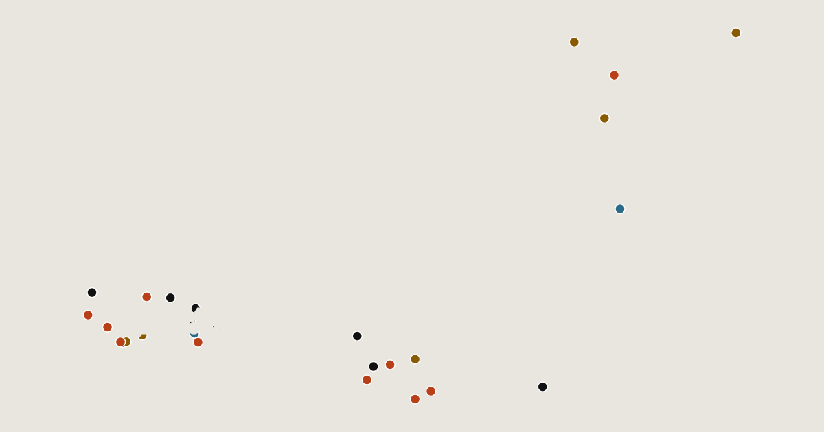
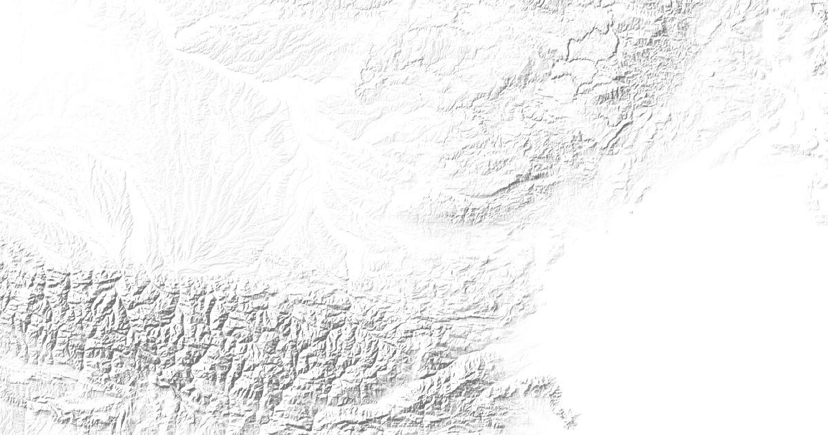
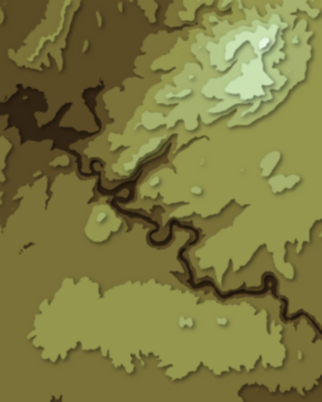
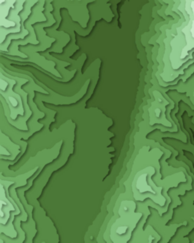
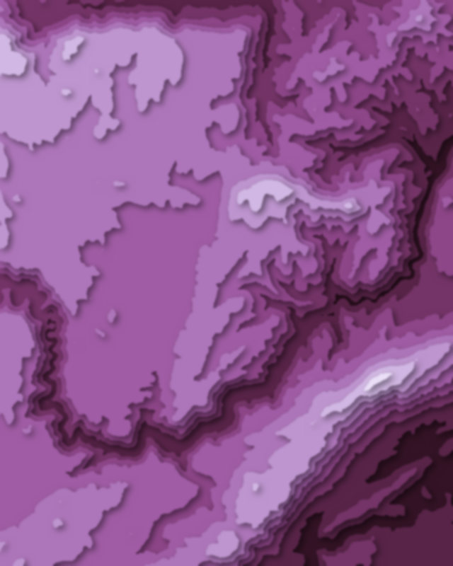
Map of 29 places in Occitania: 10 passes, 10 peaks, 6 canyons and 3 lakes, each with a 3D terrain model, contours and an elevation profile.
- Canyon
- Peak
- Pass
- Lake
Passes
10 passes
- La Brèche de Roland
- Col de Portet
- Col de Puymorens
- Port de Balès
- Col de Peyresourde
- Col d'Aspin
- Col du Soulor
- Col du Portillon
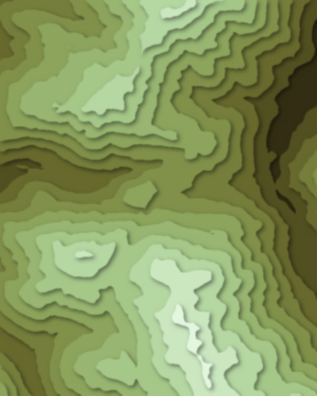
| # | Place | Type | Elevation | Prominence | Region |
|---|---|---|---|---|---|
| 9 | Col de Banyuls | Pass | 361 m | — | Occitania, France |
| 10 | Plateau de Beille | Pass | — | — | Occitania, France |
Highest Mountains in Occitania
10 peaks
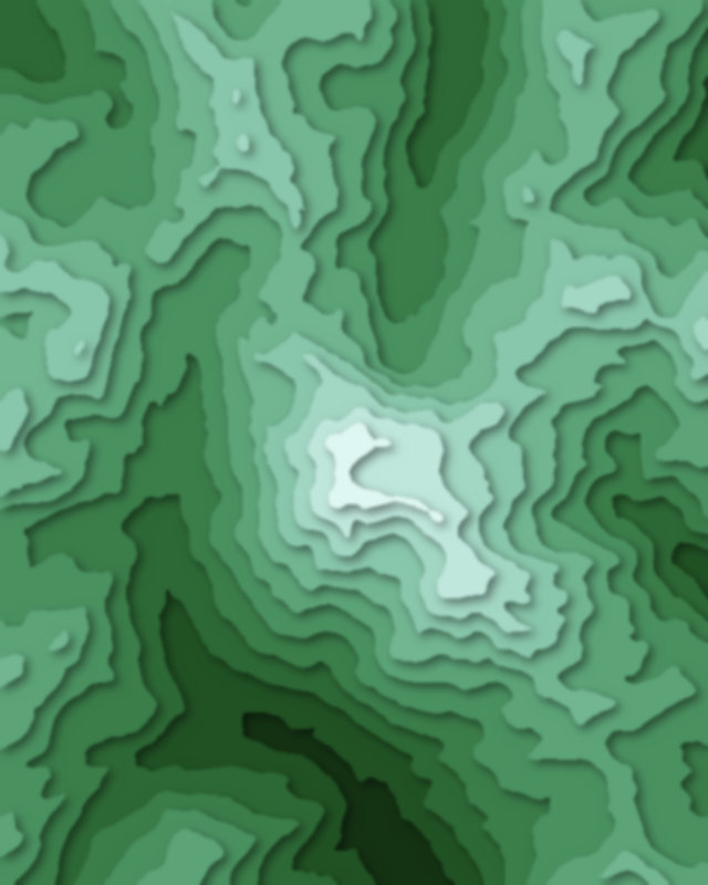
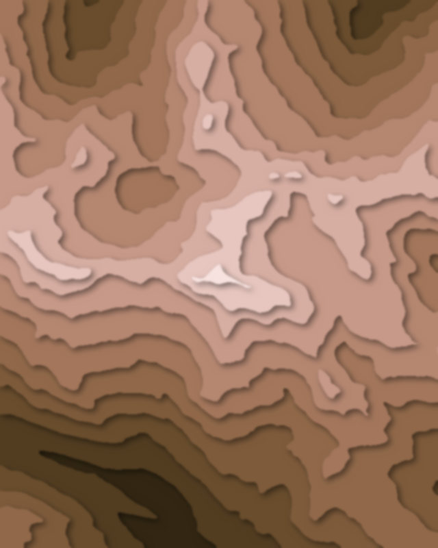
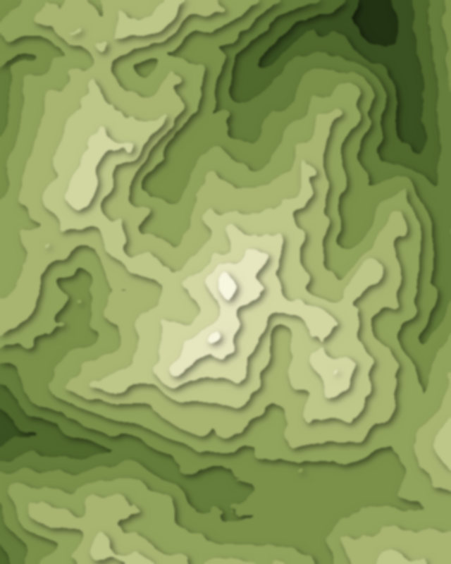
| # | Peak | Elevation | Prominence | Region |
|---|---|---|---|---|
| 9 | Pic du Midi de Bigorre | 2,877 m | 777 m | Occitania, France |
| 10 | Mont Aigoual | 1,567 m | 733 m | Occitania, France |
Canyons
6 canyons
Lakes
3 lakes