Pyrénées National Park Map: Lakes, Peaks and Camping
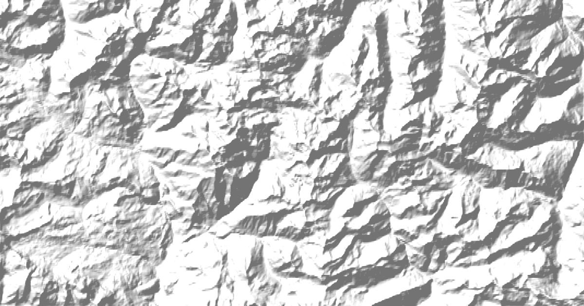
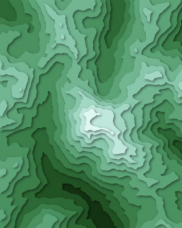
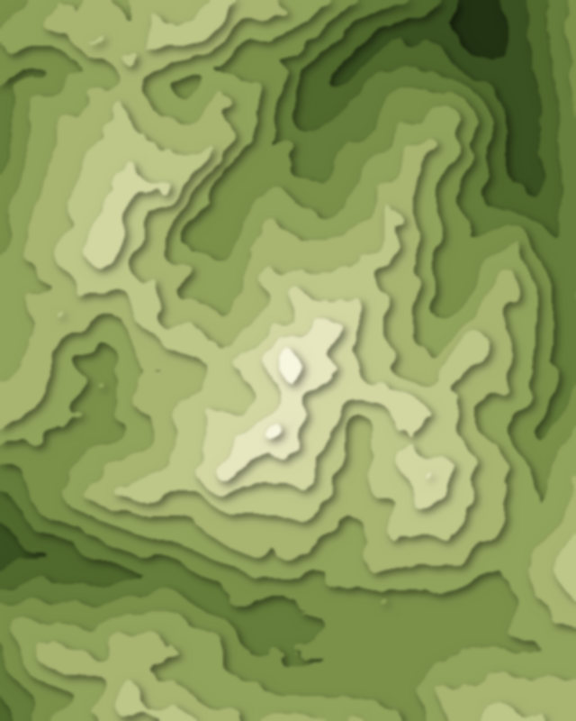
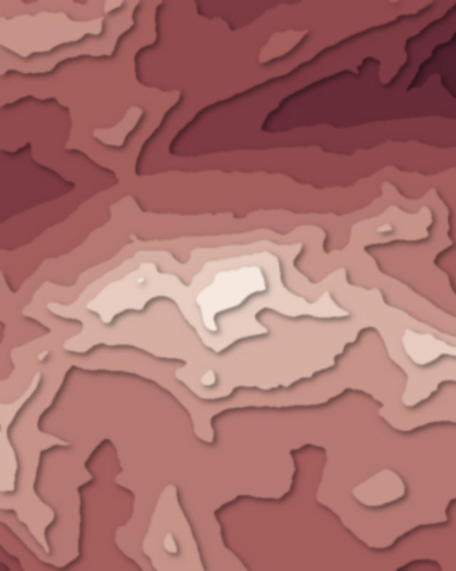
Map of 6 places in Pyrénées National Park: 3 peaks, 1 canyon, 1 lake and 1 pass, each with a 3D terrain model, contours and an elevation profile.
- Peak
- Canyon
- Pass
- Lake
Peaks
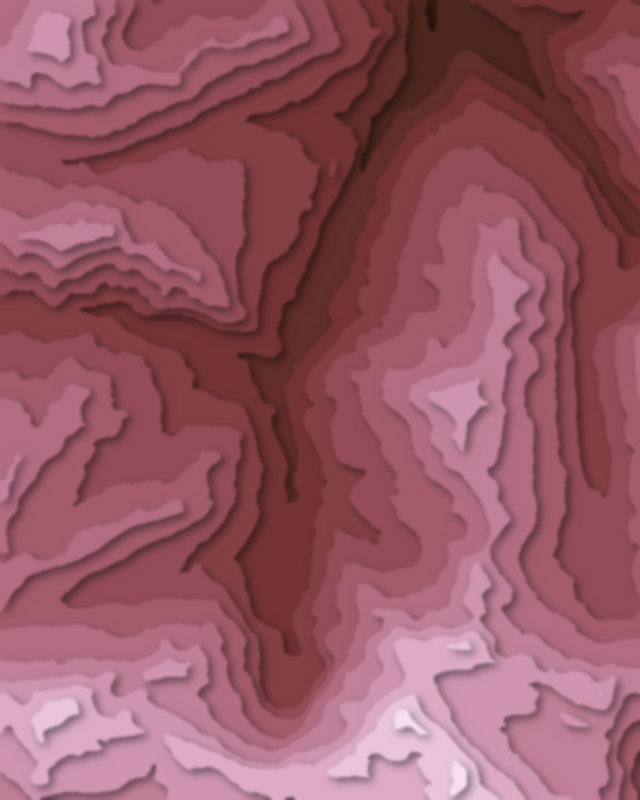
3 peaks
Canyons
1 canyon
Lakes
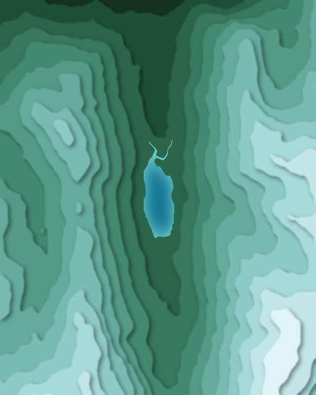
1 lake
Passes
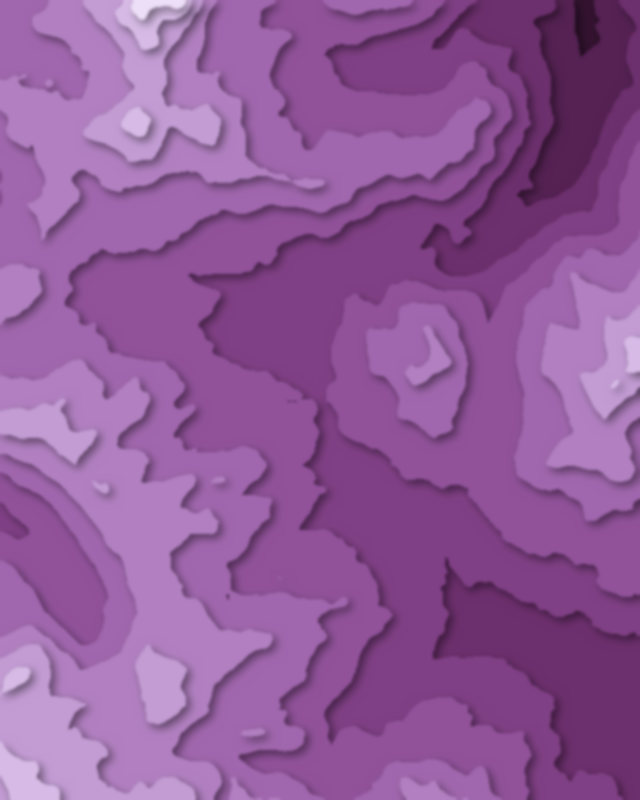
1 pass

Camping and parking in Pyrénées National Park
Campsites, huts, car parks and trailheads mapped in OpenStreetMap near the park's places, each under the place it is nearest to, by straight-line distance. Check access, fees and permits locally.
Campsites 13
Bivouac
bivouac areas
Aire de bivouac du Refuge des Oulettes de Gaube
Aire de bivouac du Refuge de Bayssellance
Aire de bivouac du Chalet du Clot
More 8
bivouac area
Bivouac Possible
Aire de bivouac du Refuge des Espuguettes
Campsite
La Bergerie
Aire de bivouac
Campsite
Bivouac
Caravan sites 3
Aire pour camping-cars Gavarnie
Aire de camping-car Cauterets Charles Thierry
Aire Camping Car Cauterets Place de la Patinoire
Huts 15
Cabane du Pinet
Refuge des Sarradets
Refuge de Bayssellance
Refuge de Larribet
Refuge des Oulettes de Gaube
More 10
Refugio de Respomuso
Chalet du Clot
Cabaña de Cerbillonar
Refuge du Balaïtous-Ledormeur
Chalet du Pailha
Cabane du Marcadau
Cabane de Pailha
Refuge de Pombie
Cabane d'Arrégatiou
Cabane du Caillou de Soques
Parking 15
Parking
Parking
Parking
Parking du Puntas
Parking du col des Tentes
More 10
Parking
Parking
La Fruitière
Parking
Parking
Parking
Parking
Parking
Parking
Parking