Ordesa y Monte Perdido National Park Map: Peaks, Canyons and Camping
Map of 4 places in Ordesa y Monte Perdido National Park: 2 canyons, 1 pass and 1 peak, each with a 3D terrain model, contours and an elevation profile.
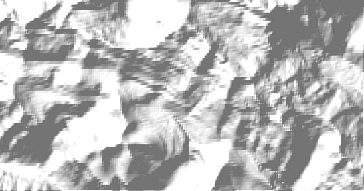
- Peak
- Canyon
- Pass
Canyons
2 canyons
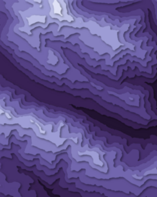
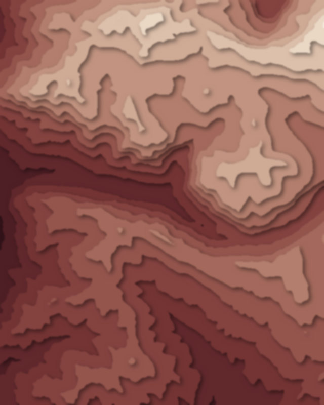
Passes
1 pass
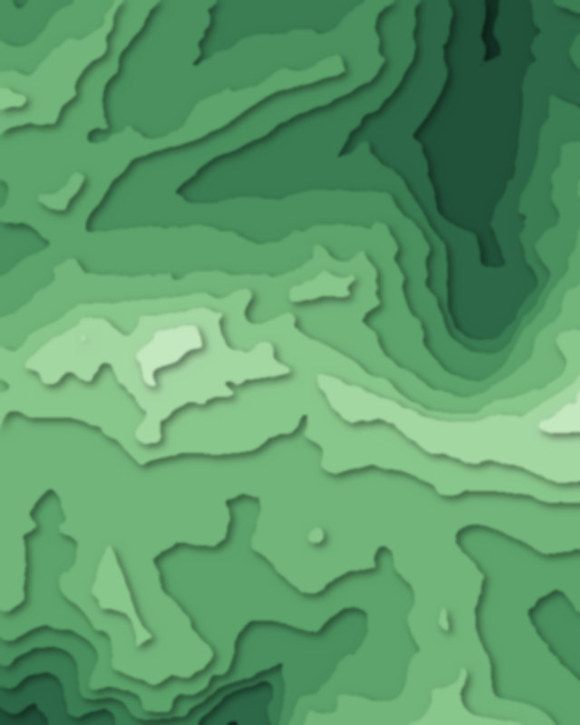
Peaks
1 peak

Camping and parking in Ordesa y Monte Perdido National Park
Campsites, huts, car parks and trailheads mapped in OpenStreetMap near the park's places, each under the place it is nearest to, by straight-line distance. Check access, fees and permits locally.
Campsites 6
Camping Ordesa
Camping Río Ara
La Bergerie
Aire de bivouac du Refuge des Espuguettes
Camping Pineta
More 1
Camping San Nicolás de Bujaruelo
Caravan sites 1
Aire pour camping-cars Gavarnie
Huts 9
Refugio de la Larri
Refuge de la Breche de Roland
Refugio de la Estiva
Refugio de Goriz
Refugio de Tucarroya
More 4
Refugio de Pineta
Refugio de Fuen Blanca
Chalet du Pailha
Cabane de Pailha
Parking 10
Parking
Parking
Parking du col des Tentes
Parking
Parking
More 5
Parking
Parking
Parking
Parking
Parking