Mountains
Capçaleres del Ter i del Freser Natural Park Map: Peaks, Canyons and Camping
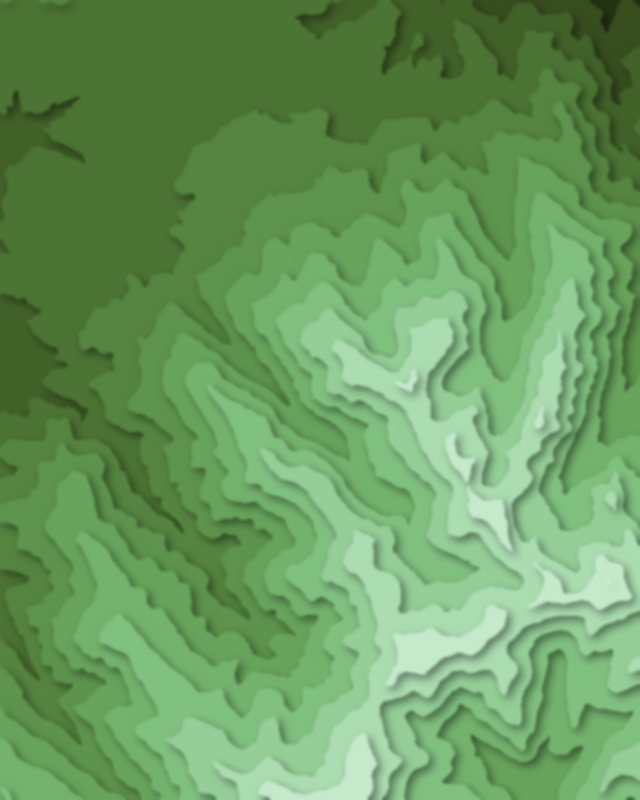
Map of 4 places in Capçaleres del Ter i del Freser Natural Park: 3 peaks and 1 canyon, each with a 3D terrain model, contours and an elevation profile.
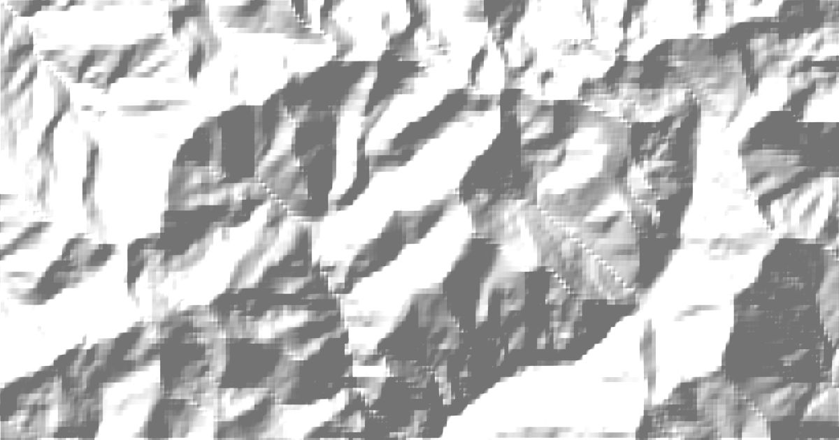
- Canyon
- Peak
Peaks
3 peaks
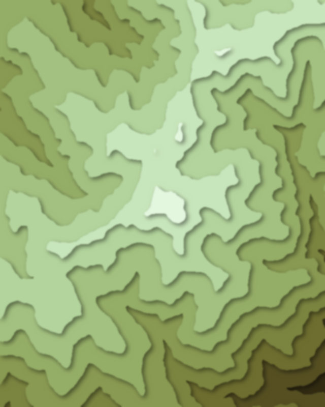
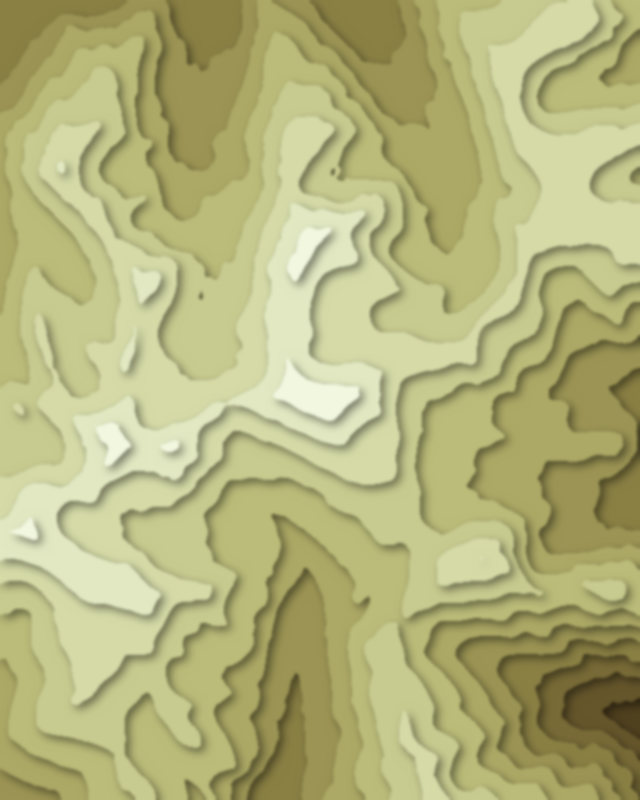
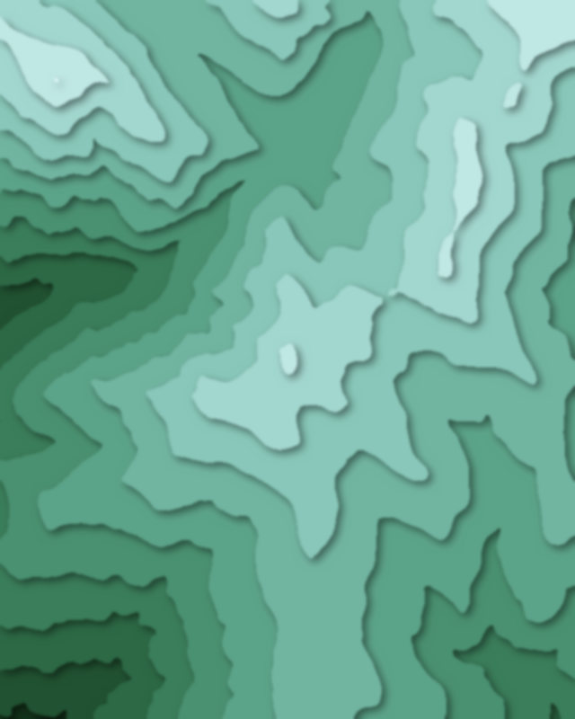
Canyons
1 canyon
Camping and parking in Capçaleres del Ter i del Freser Natural Park
Campsites, huts, car parks and trailheads mapped in OpenStreetMap near the park's places, each under the place it is nearest to, by straight-line distance. Check access, fees and permits locally.
Campsites 1
Càmping Can Fosses
Huts 4
Cabane de la Culasse
Refuge de la Matte
Cabana de Pedrisses
Caseta del Canal
Parking 5
Aparcament Fontalba
Parking
Parking
Parking
Parking
Trailheads 2
Trailhead
Trailhead