Europe
United Kingdom Mountains Map: Lakes, Canyons and Peaks in 3D
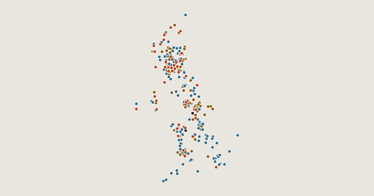
Map of 371 places in United Kingdom: 200 lakes, 89 canyons, 68 peaks, 13 passes and 1 glacier, each with a 3D terrain model, contours and an elevation profile.
Regions
Lists
- Lake
- Canyon
- Peak
- Pass
- Glacier
Place
page 8 of 8
- Langstrothdale
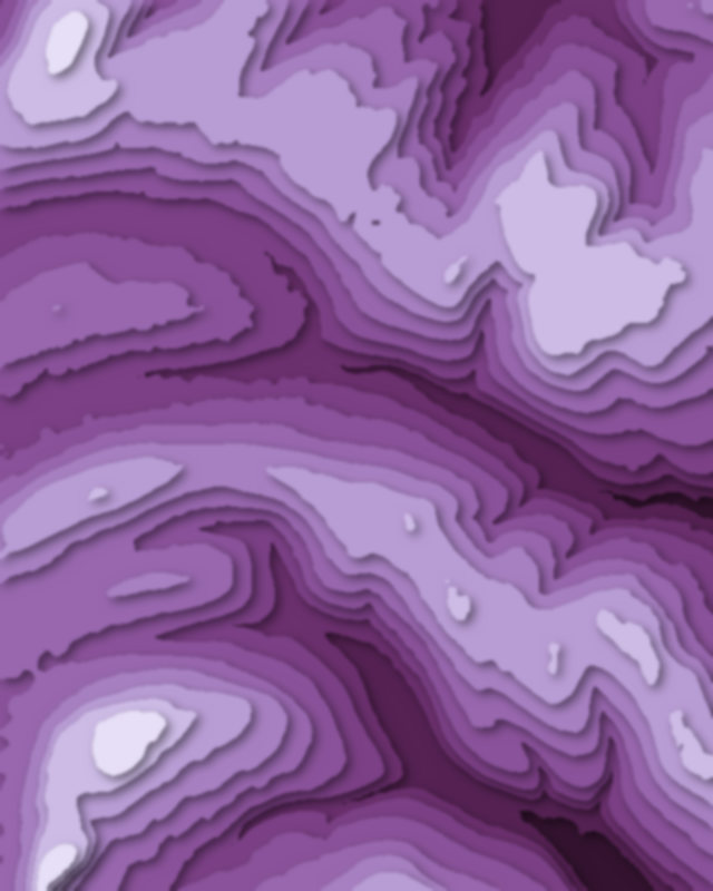
- Glen Trool
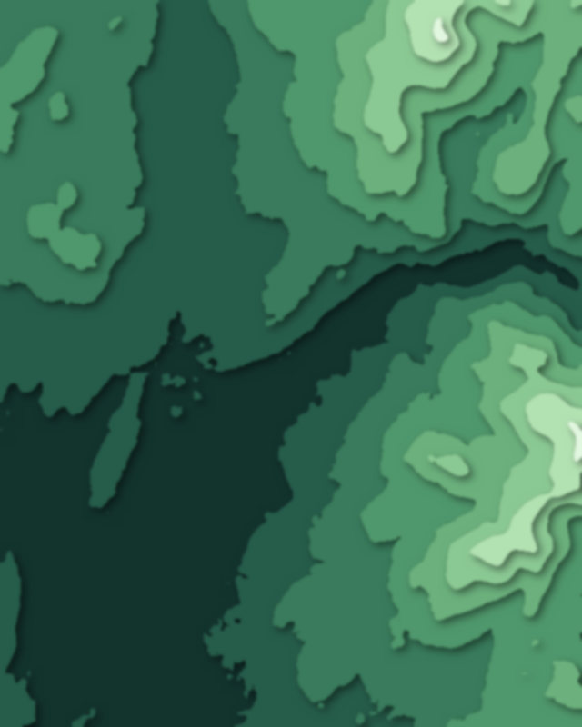
- Glen Almond
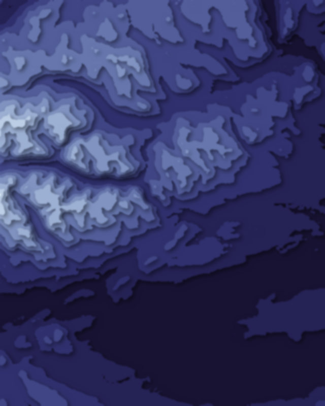
- Whiteadder Reservoir
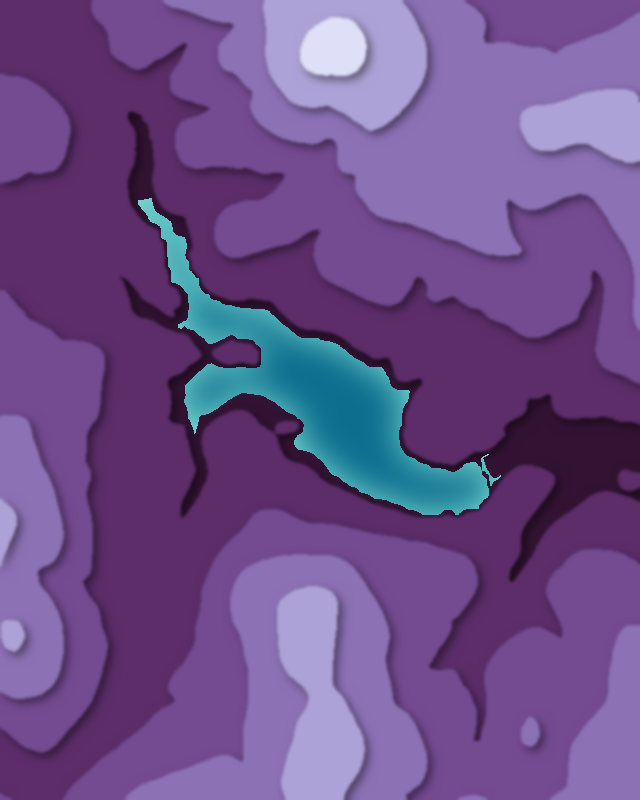
- Sirhowy Valley
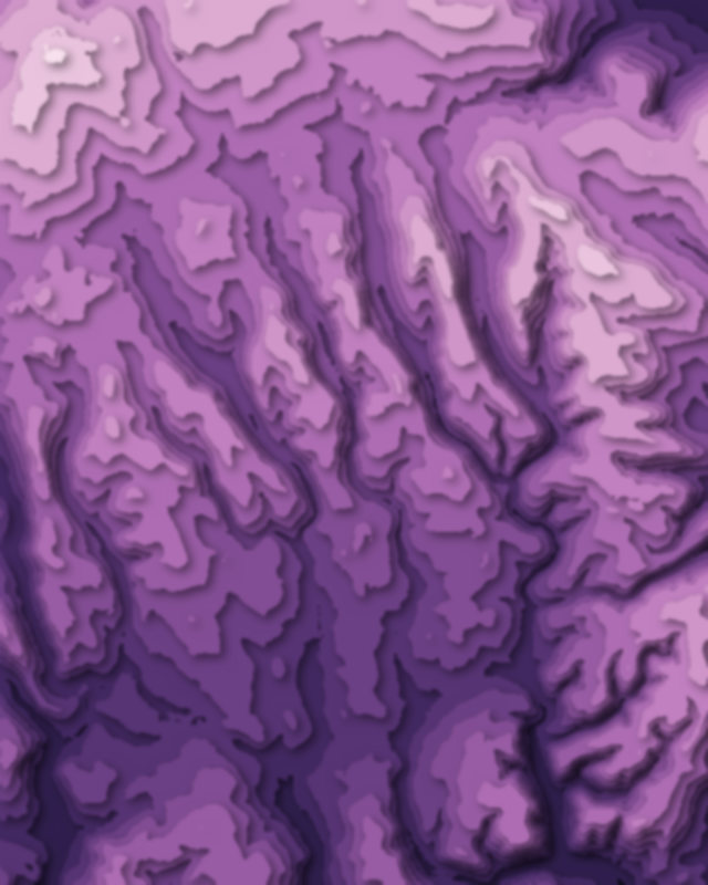
- Horsey Mere
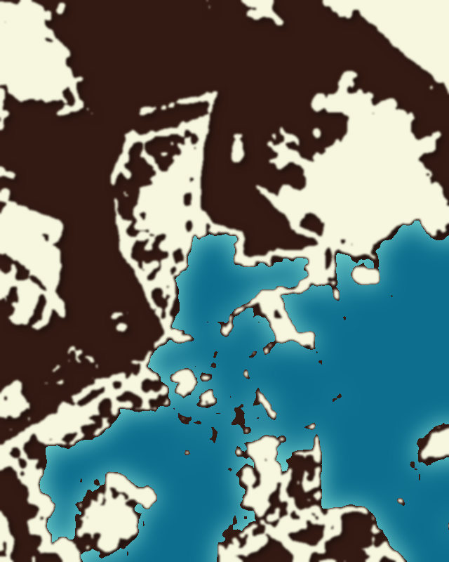
- Cropston Reservoir
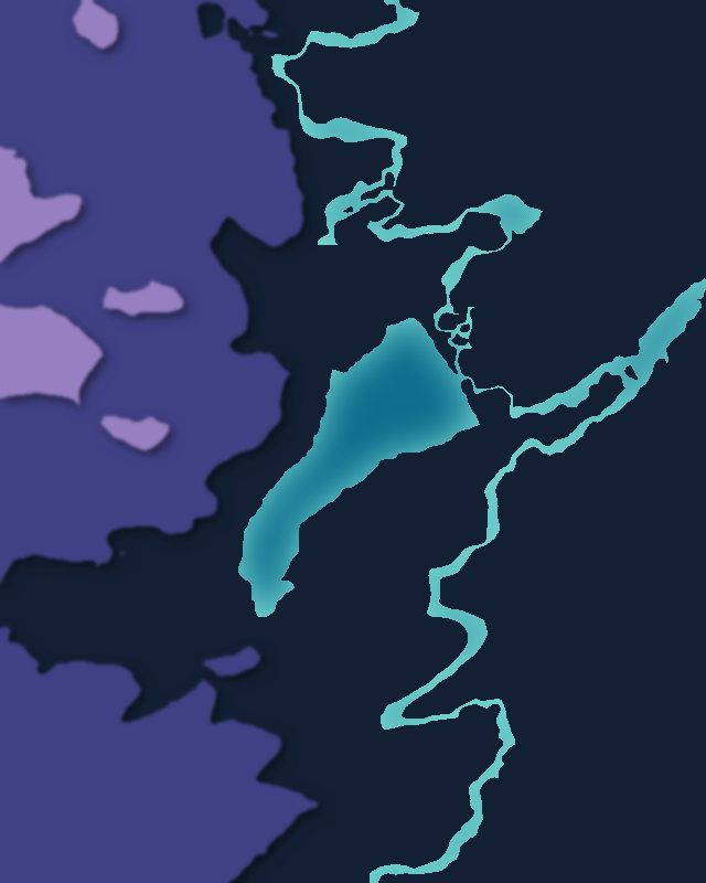
- Afan Forest Park
| # | Place | Type | Elevation | Prominence | Region |
|---|---|---|---|---|---|
| 359 | Banbury Reservoir | Lake | — | — | England, United Kingdom |
| 360 | Strath of Kildonan | Canyon | — | — | Scotland, United Kingdom |
| 361 | Glen Doll | Canyon | — | — | Scotland, United Kingdom |
| 362 | Dyffryn Mymbyr | Canyon | — | — | United Kingdom |
| 363 | Grisedale | Canyon | — | — | England, United Kingdom |
| 364 | Loch Coire an Lochain | Lake | — | — | Scotland, United Kingdom |
| 365 | Glen Douglas | Canyon | — | — | Scotland, United Kingdom |
| 366 | Ogden Reservoirs | Lake | — | — | England, United Kingdom |
| 367 | Bilsdale | Canyon | — | — | England, United Kingdom |
| 368 | Angram Reservoir | Lake | — | — | England, United Kingdom |
| 369 | Glendun | Canyon | — | — | United Kingdom |
| 370 | Hell's Glen | Canyon | — | — | Scotland, United Kingdom |
| 371 | Lliw Valley | Canyon | — | — | Wales, United Kingdom |