Europe
Ireland Mountains Map: Peaks, Lakes and Canyons in 3D
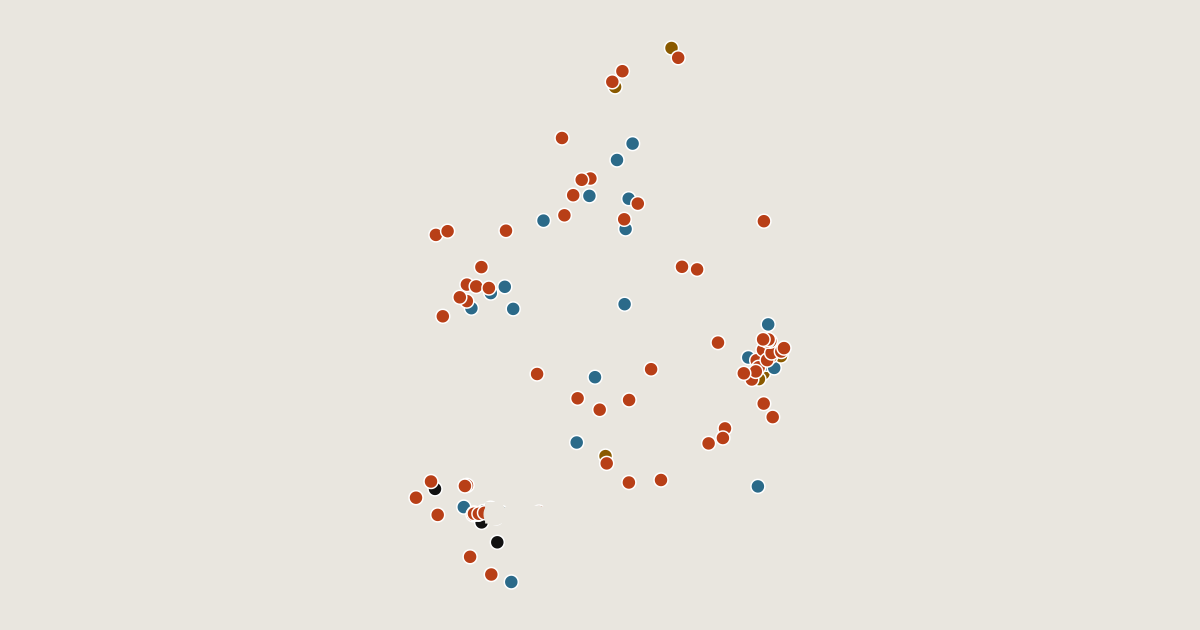
Map of 107 places in Ireland: 70 peaks, 25 lakes, 7 canyons and 5 passes, each with a 3D terrain model, contours and an elevation profile.
Regions
Lists
- Canyon
- Peak
- Pass
- Lake
Highest Mountains in Ireland
70 peaks
| # | Peak | Elevation | Prominence | Region |
|---|---|---|---|---|
| 9 | Galtymore | 918 m | 815 m | County Limerick, Ireland |
| 10 | Baurtregaum | 851 m | 643 m | County Kerry, Ireland |
| 11 | Mullaghcleevaun | 849 m | 374 m | County Wicklow, Ireland |
| 12 | Mangerton Mountain | 838 m | 579 m | County Kerry, Ireland |
| 13 | Caherconree | 835 m | 131 m | County Kerry, Ireland |
| 14 | Purple Mountain | 832 m | 595 m | County Kerry, Ireland |
| 15 | Tonelagee | 817 m | 206 m | County Wicklow, Ireland |
| 16 | Mweelrea | 814 m | 777 m | County Mayo, Ireland |
| 17 | Nephin | 806 m | 771 m | County Mayo, Ireland |
| 18 | Mount Leinster | 796 m | 732 m | Ireland |
| 19 | Knockmealdown | 794 m | 627 m | County Waterford, Ireland |
| 20 | Fauscoum | 792 m | 680 m | County Waterford, Ireland |
| 21 | Croagh Patrick | 764 m | 638 m | County Mayo, Ireland |
| 22 | Kippure | 757 m | 263 m | County Wicklow, Ireland |
| 23 | Errigal | 749 m | 688 m | County Donegal, Ireland |
| 24 | Blackstairs Mountain | 735 m | 536 m | Leinster, Ireland |
| 25 | Benbaun | 729 m | 687 m | County Galway, Ireland |
| 26 | Djouce | 725 m | 204 m | County Wicklow, Ireland |
| 27 | Ben Gorm | 700 m | 614 m | Ireland |
| 28 | Mullaghanish | 694 m | 306 m | County Cork, Ireland |
| 29 | Keeper Hill | 694 m | 602 m | County Tipperary, Ireland |
| 30 | Knocknadobar | 690 m | 566 m | County Kerry, Ireland |
| 31 | Croaghaun | 688 m | 688 m | County Mayo, Ireland |
| 32 | Hungry Hill | 686 m | 398 m | Ireland |
| 33 | Maumtrasna | 682 m | 610 m | Ireland |
| 34 | Turlough Hill | 681 m | 49 m | County Wicklow, Ireland |
| 35 | Slievemore | 671 m | 584 m | Ireland |
| 36 | Muckish | 666 m | 484 m | County Donegal, Ireland |
| 37 | Cuilcagh | 665 m | 606 m | Northern Ireland, United Kingdom |
| 38 | Truskmore | 647 m | 566 m | Ireland |
| 39 | Musheramore | 644 m | 435 m | Ireland |
| 40 | Slieve Snaght | 615 m | 600 m | Ireland |
| 41 | Croghan Mountain | 606 m | 519 m | County Wicklow, Ireland |
| 42 | Slieve League | 601 m | 479 m | County Donegal, Ireland |
| 43 | Luggala | 595 m | 102 m | County Wicklow, Ireland |
| 44 | Slieve Anierin | 585 m | 250 m | County Leitrim, Ireland |
| 45 | Maulin | 570 m | 72 m | County Wicklow, Ireland |
| 46 | Sugarloaf (West Wicklow) | 552 m | 18 m | County Wicklow, Ireland |
| 47 | Two Rock | 536 m | 163 m | Ireland |
| 48 | Torc Mountain | 535 m | 298 m | County Kerry, Ireland |
| 49 | Glennagalliagh | 532 m | 492 m | Ireland |
| 50 | Ben Bulben | 527 m | 63 m | County Sligo, Ireland |
Lakes
25 lakes
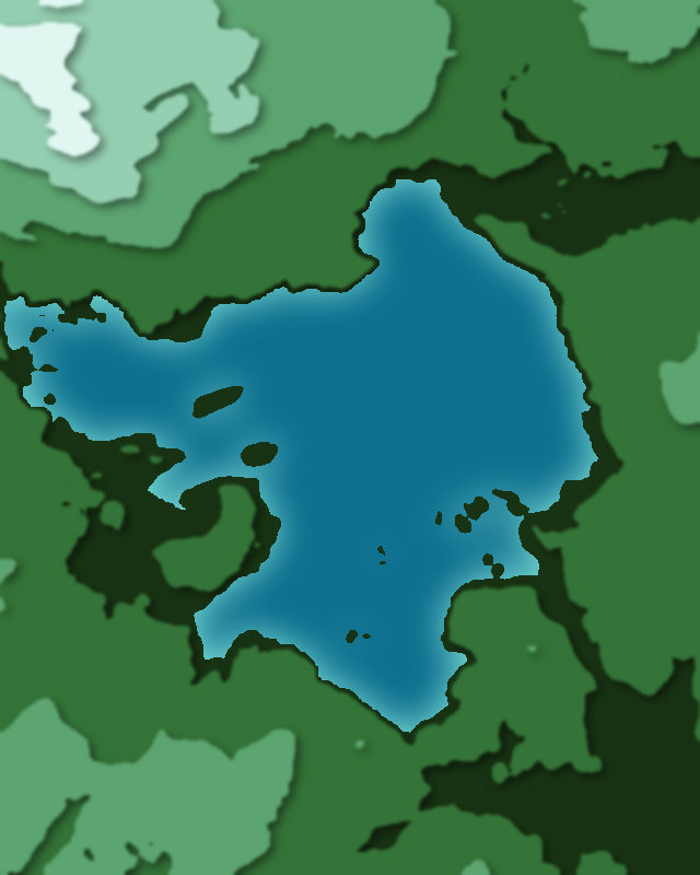
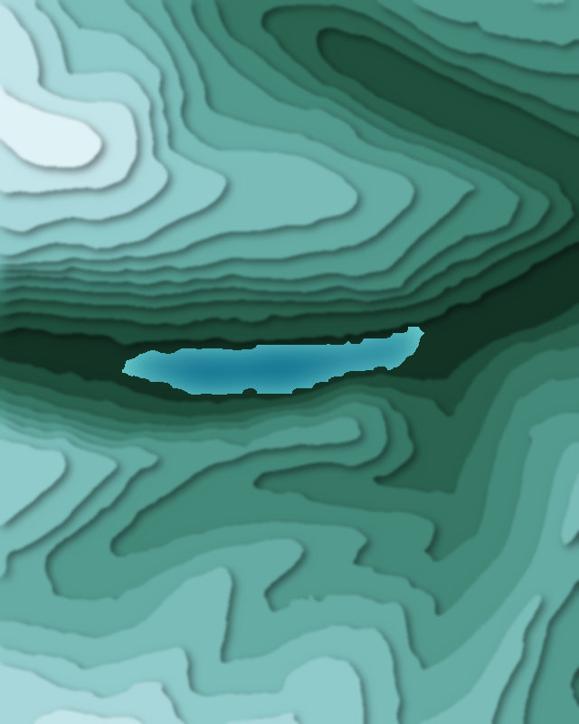
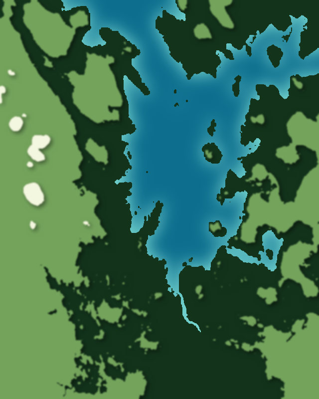
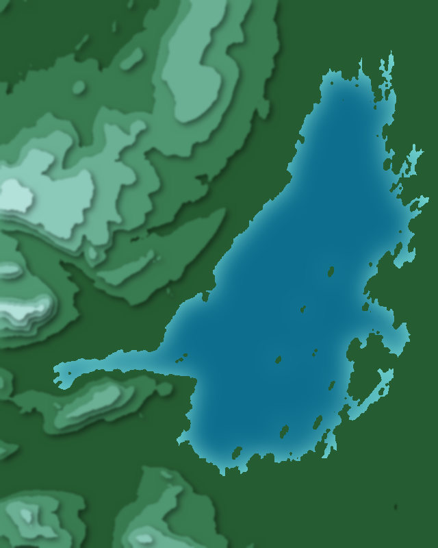
| # | Place | Type | Elevation | Prominence | Region |
|---|---|---|---|---|---|
| 9 | Lough Gill | Lake | 0 m | — | Ireland |
| 10 | Lough Tay | Lake | — | — | Ireland |
| 11 | Poulaphouca Reservoir | Lake | — | — | Ireland |
| 12 | Lough Gur | Lake | — | — | County Limerick, Ireland |
Canyons
7 canyons
Passes
5 passes