Loch Lomond and The Trossachs National Park Map: Lakes, Peaks and Camping
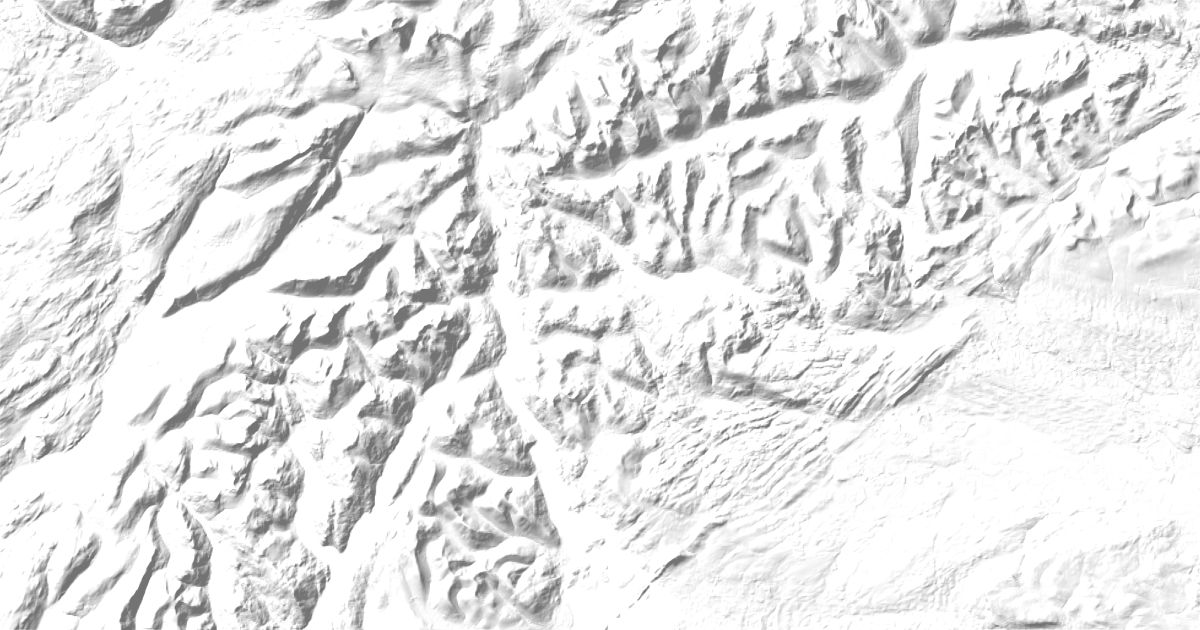
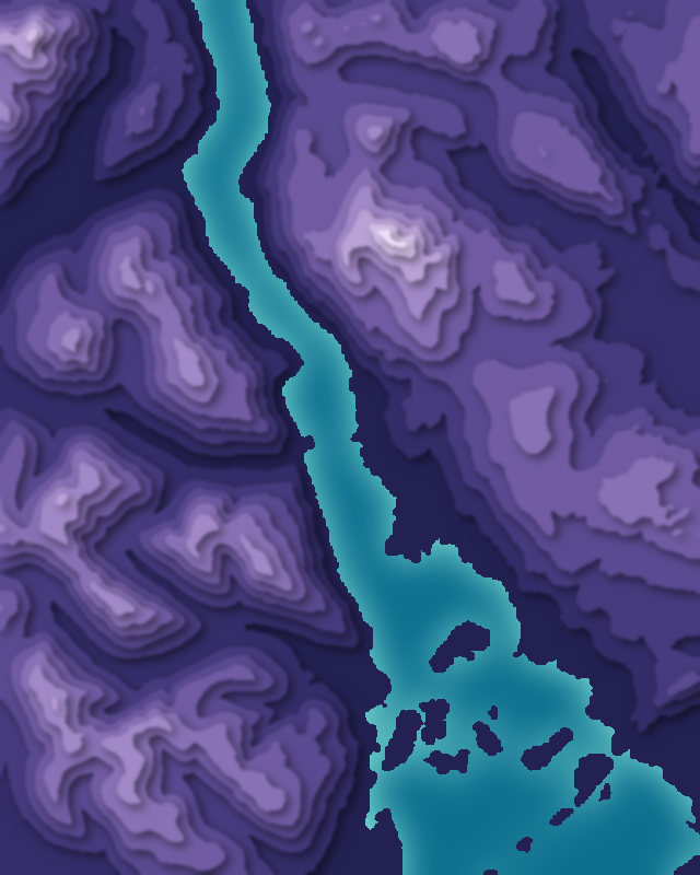
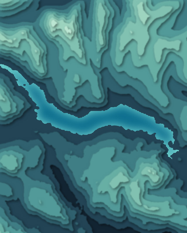
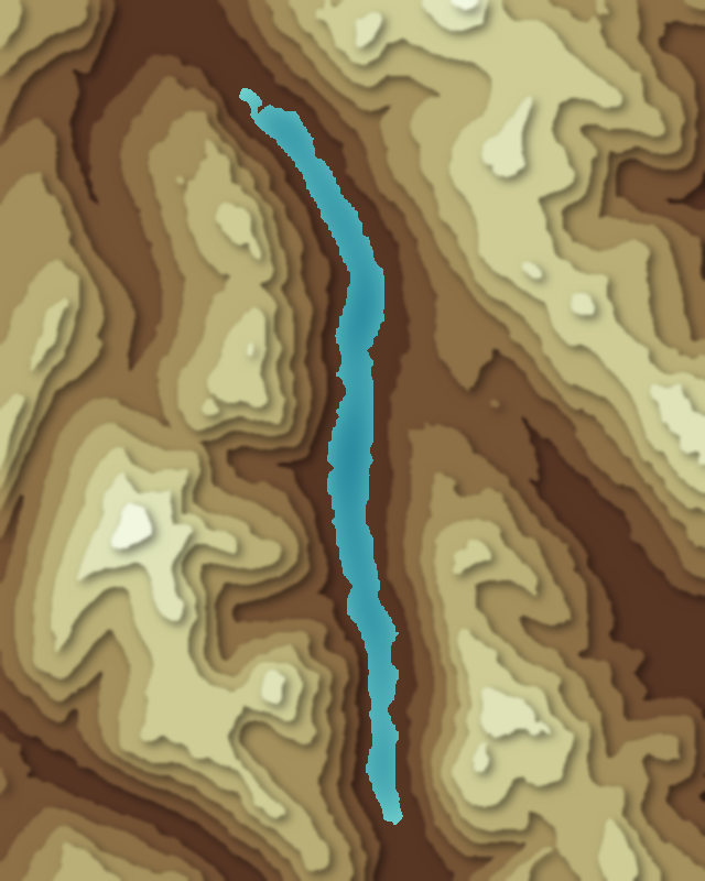
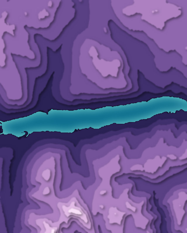
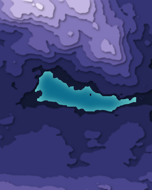
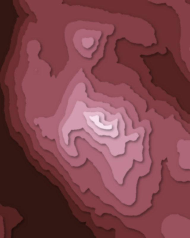
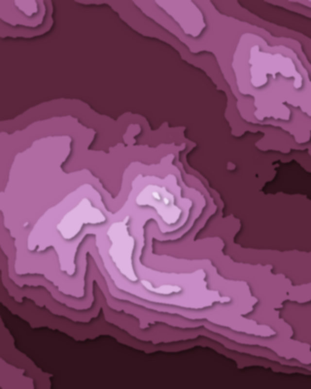
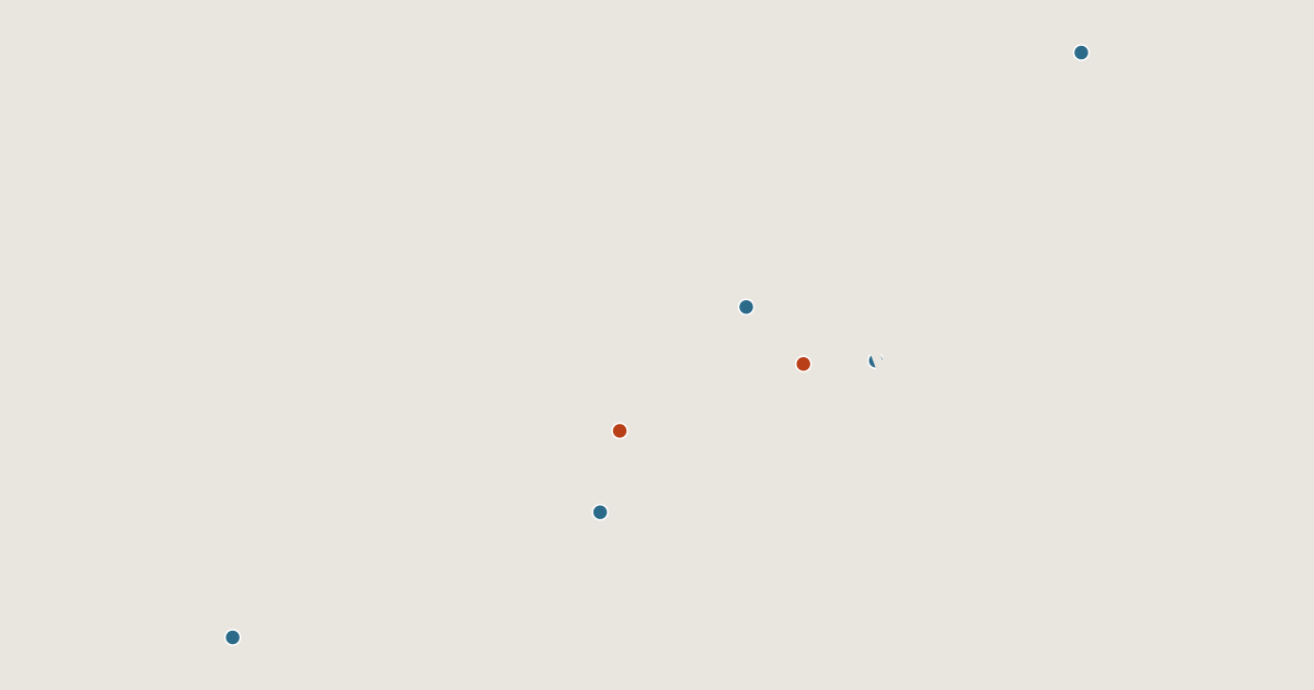
Map of 7 places in Loch Lomond and The Trossachs National Park: 5 lakes and 2 peaks, each with a 3D terrain model, contours and an elevation profile.
- Lake
- Peak
Lakes
5 lakes
Peaks
2 peaks
Camping and parking in Loch Lomond and The Trossachs National Park
Campsites, huts, car parks and trailheads mapped in OpenStreetMap near the park's places, each under the place it is nearest to, by straight-line distance. Check access, fees and permits locally.
Campsites 9
Loch Achray Campsite
Inverbeg Holiday Park
Loch Achray South camping permit area March-September
Loch Earn South Shore B
Lochan Maol Dhuinne Camping permit area March-September
More 4
Rowardennan Lodge Youth Hostel
Loch Katrine Eco Camp
Loch Chon Campsite
The Secret Glen
Caravan sites 10
Drummond Fish Farm
Caravan site
Firkin Point (Motorhome) camping permit area March-September
Loch Earn Sailing Club Campsite
Caravan site
More 5
Loch Eck Caravan Park
Loch Earn Leisure Park
Stratheck Holiday Park
Glenfinart Caravan Park
Milarrochy Bay Camping And Caravanning Club Site
Huts 2
Rowchoish
Eilean Gorm Bothy
Parking 15
Parking
Parking
Parking
Parking
Parking
More 10
Parking
Parking
Parking
Parking
Parking
Parking
Loch Chon Campsite
Parking
Parking
Parking