Mountains
Cairngorms National Park Map: Lakes, Peaks and Camping
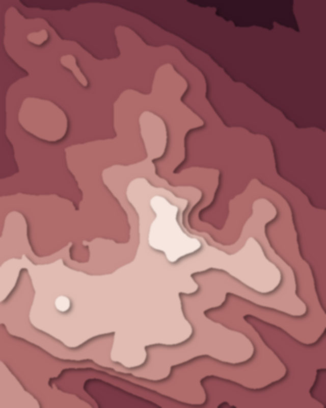
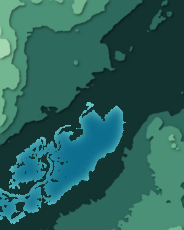
Map of 5 places in Cairngorms National Park: 4 peaks and 1 lake, each with a 3D terrain model, contours and an elevation profile.
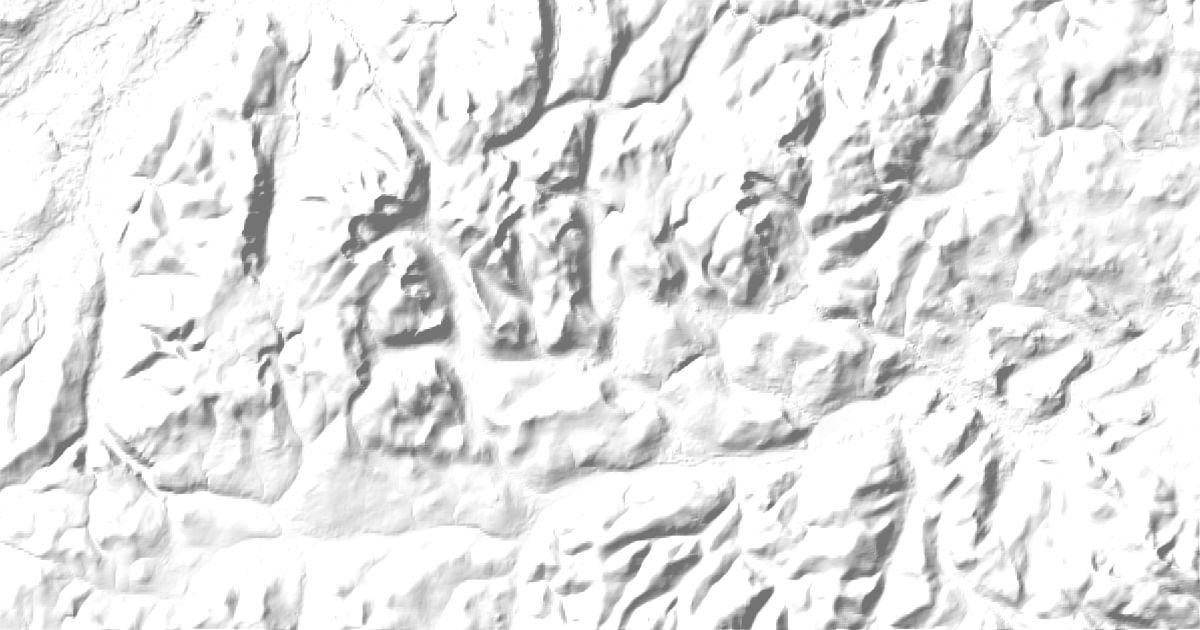
- Peak
- Lake
Peaks
4 peaks
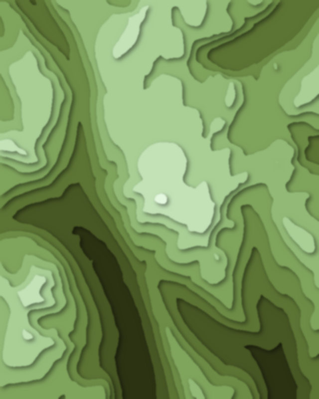
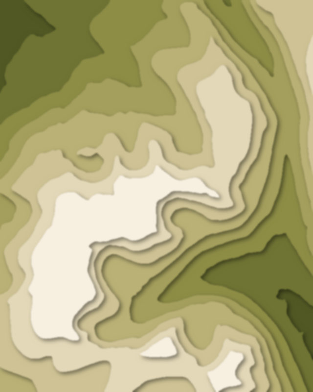
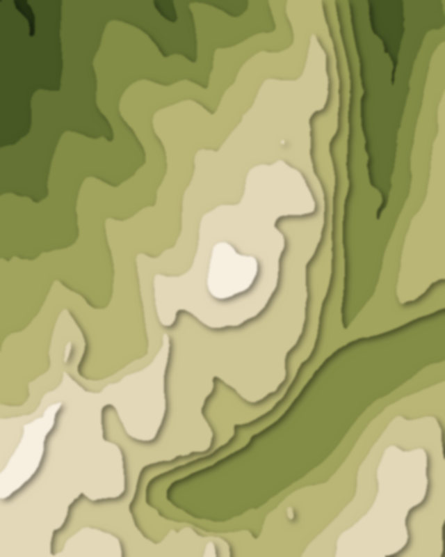
Lakes
1 lake

Camping and parking in Cairngorms National Park
Campsites, huts, car parks and trailheads mapped in OpenStreetMap near the park's places, each under the place it is nearest to, by straight-line distance. Check access, fees and permits locally.
Campsites 2
Dalraddy Holiday Park
Glenmore Camp Site
Huts 8
Corrour Bothy
Hutchinson Memorial Hut
Fords of Avon Refuge Hut
Gelder Shiel Stable
Glas-allt-Shiel
More 3
Allan's Hut
Inshriach ("Drake's") Bothy
Ryvoan Bothy
Parking 9
Parking
Parking
Parking
Parking
Coire Cas Car Park
More 4
Coire na Ciste
Parking
Parking
Spittal of Glen Muick Car Park