Yorkshire Dales National Park Map: Peaks, Canyons and Camping
Map of 8 places in Yorkshire Dales National Park: 5 canyons and 3 peaks, each with a 3D terrain model, contours and an elevation profile.
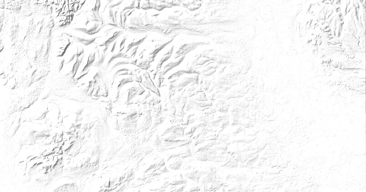
- Canyon
- Peak
Canyons
5 canyons
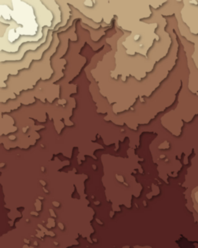
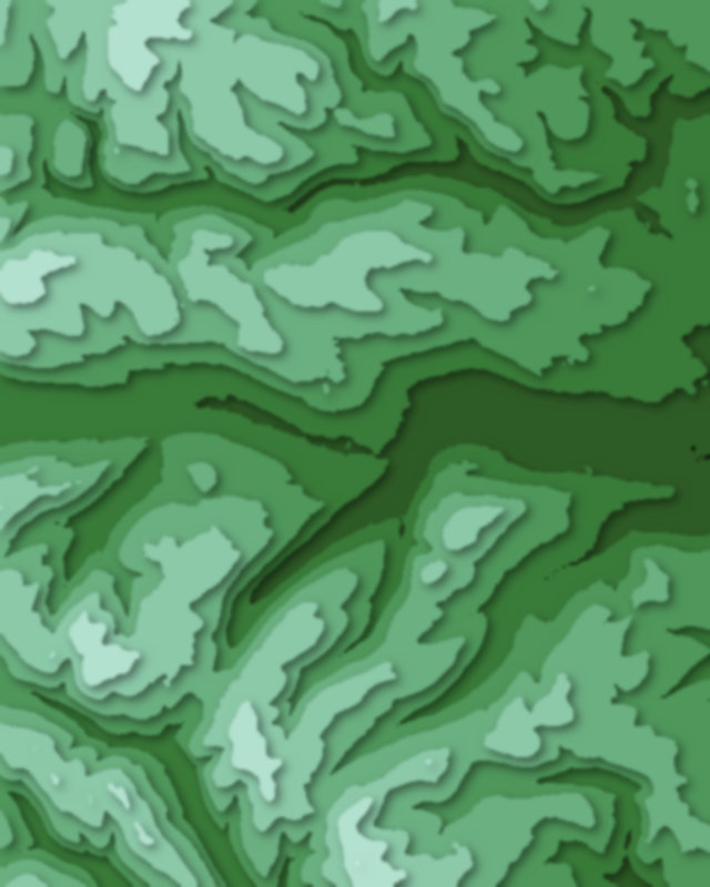
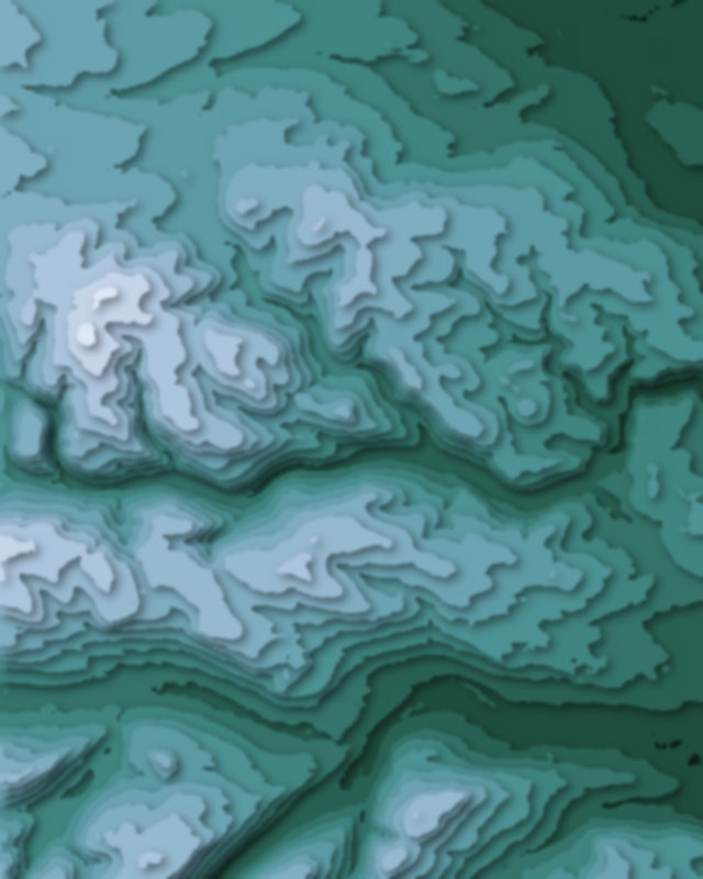
Peaks
3 peaks

Camping and parking in Yorkshire Dales National Park
Campsites, huts, car parks and trailheads mapped in OpenStreetMap near the park's places, each under the place it is nearest to, by straight-line distance. Check access, fees and permits locally.
Campsites 15
Riverside Campsite
More Lodge Holiday Park
Wike Scout Camp
OLD HALL COTTAGE CAMPSITE
Campsite
More 10
Ewegales Farm
Greenscapes Nusery Campsite
Shaw Ghyll caravan and camping
Cow Close Camping And Caravan
Conder Farm Camp Site
Dent Camping and Caravanning Club
Moorgarth Farm Campsite
Meadow Falls
Silloth House Campsite
Dentdale Glamping Pods
Caravan sites 10
Haighfield Caravan Park
Hawes Caravan Club Site
More Lodge Holiday Park
Caravan site
Honeycott Caravan Park
More 5
Caravan site
High Laning Farm Caravan & Camping Park
Holme Head Caravan Park
Caravan site
Meadow Falls
Huts 1
Selside Outdoor Activity Centre
Parking 21
Parking
Parking
Parking
Parking
Parking
More 16
Parking
Parking
Malham Car Park
Parking
Janet's Foss Parking - closer than main parking
Parking
Parking
Parking
Parking
Parking
Parking
Parking
Parking
Parking
Parking
Parking