Central Eastern Alps
Western Tauern Alps Map: Peaks, Passes and Hikes in 3D
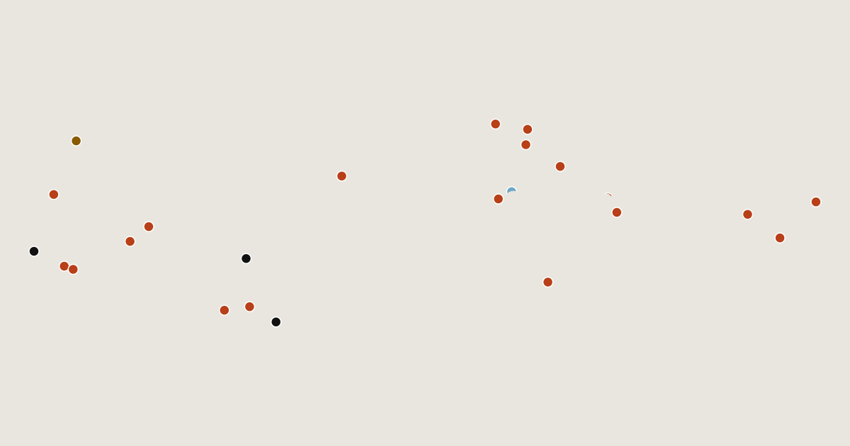
Map of 24 places in Western Tauern Alps: 19 peaks, 3 passes, 1 canyon and 1 glacier, each with a 3D terrain model, contours and an elevation profile.
Sub-areas
Lists
- Peak
- Pass
- Canyon
- Glacier
Highest Mountains in the Western Tauern Alps
19 peaks
- Grossglockner
- Großvenediger
- Großes Wiesbachhorn
- Hochfeiler
- Hochgall
- Großer Löffler
- Hoher Weißzint
- Schwarzenstein
| # | Peak | Elevation | Prominence | Region |
|---|---|---|---|---|
| 9 | Hoher Tenn | 3,368 m | 331 m | Salzburg, Austria |
| 10 | Hochalmspitze | 3,360 m | 937 m | Carinthia, Austria |
| 11 | Schneebiger Nock | 3,358 m | 549 m | Trentino-South Tyrol, Italy |
| 12 | Petzeck | 3,283 m | 801 m | Carinthia, Austria |
| 13 | Hocharn | 3,254 m | 689 m | Salzburg, Austria |
| 14 | Ankogel | 3,252 m | 578 m | Carinthia, Austria |
| 15 | Hoher Riffler | 3,231 m | 337 m | Tyrol, Austria |
| 16 | Kitzsteinhorn | 3,203 m | 437 m | Salzburg, Austria |
| 17 | Hoher Sonnblick | 3,106 m | 284 m | Salzburg, Austria |
| 18 | Grosser Hafner | 3,076 m | 823 m | Carinthia, Austria |
| 19 | Edelweißspitze | 2,572 m | 89 m | Salzburg, Austria |
Passes
3 passes
Canyons
1 canyon
Glaciers
1 glacier