Mountains
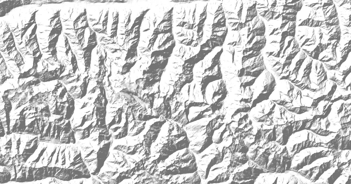
Hohe Tauern National Park Map: Peaks, Glaciers and Camping
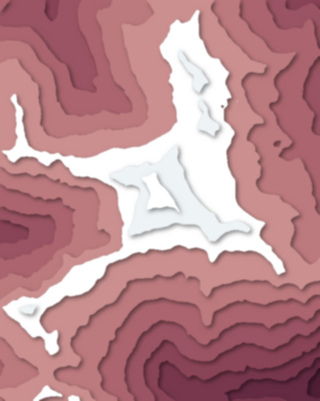
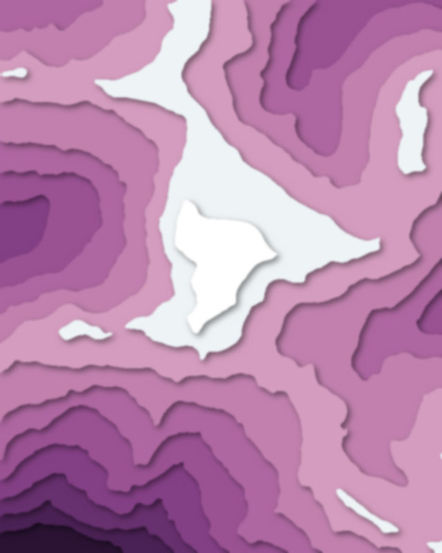
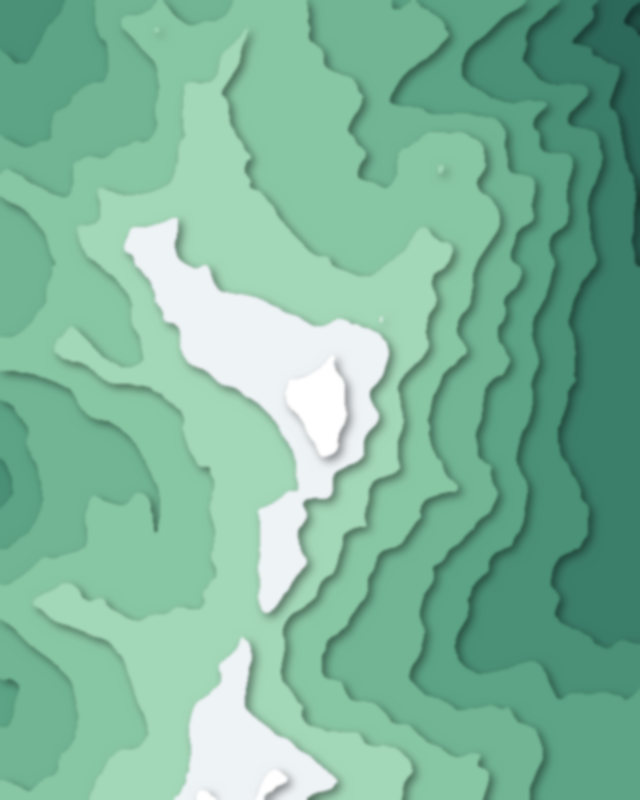
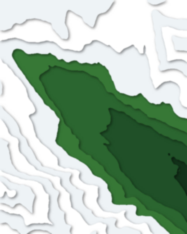
Map of 7 places in Hohe Tauern National Park: 6 peaks and 1 glacier, each with a 3D terrain model, contours and an elevation profile.
Lists
- Peak
- Glacier
Peaks
6 peaks
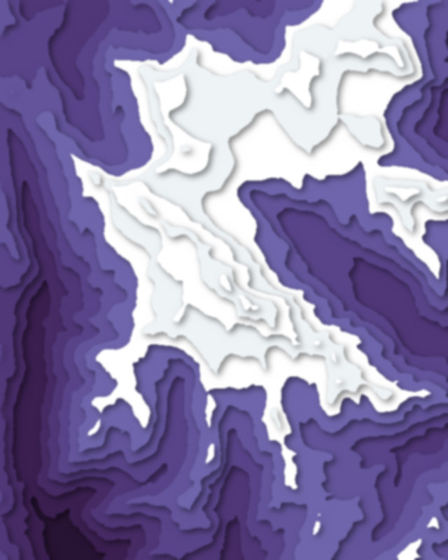
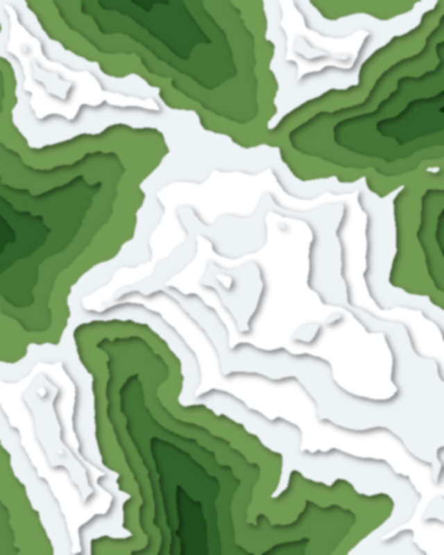
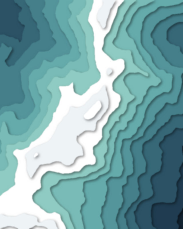
Glaciers
1 glacier

Camping and parking in Hohe Tauern National Park
Campsites, huts, car parks and trailheads mapped in OpenStreetMap near the park's places, each under the place it is nearest to, by straight-line distance. Check access, fees and permits locally.
Campsites 1
Nationalpark Camping Kals
Huts 10
Erzherzog-Johann-Hütte
Fürthermoaralm/Ebmatten
Oberwalderhütte
Stüdlhütte
Krefelder Hütte
More 5
Hannoverhaus
Hannoverhütte
Osnabrücker Hütte
Häuslalm
Glocknerhaus
Parking 9
Franz-Josefs-Höhe
P4
Parking
Parking
Kaprun Hochgebirgsstauseen
More 4
Parking
Parking
Parking
Parkplatz Seebachtal