Italy
Trentino-South Tyrol Mountains Map: Peaks, Passes and Canyons in 3D
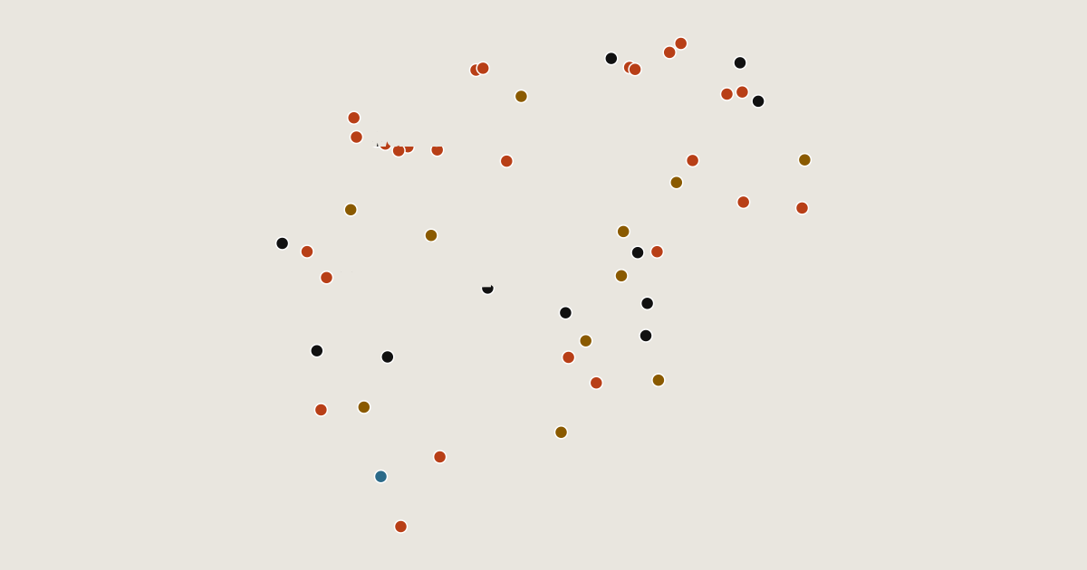
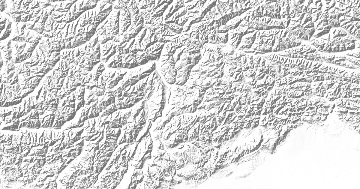
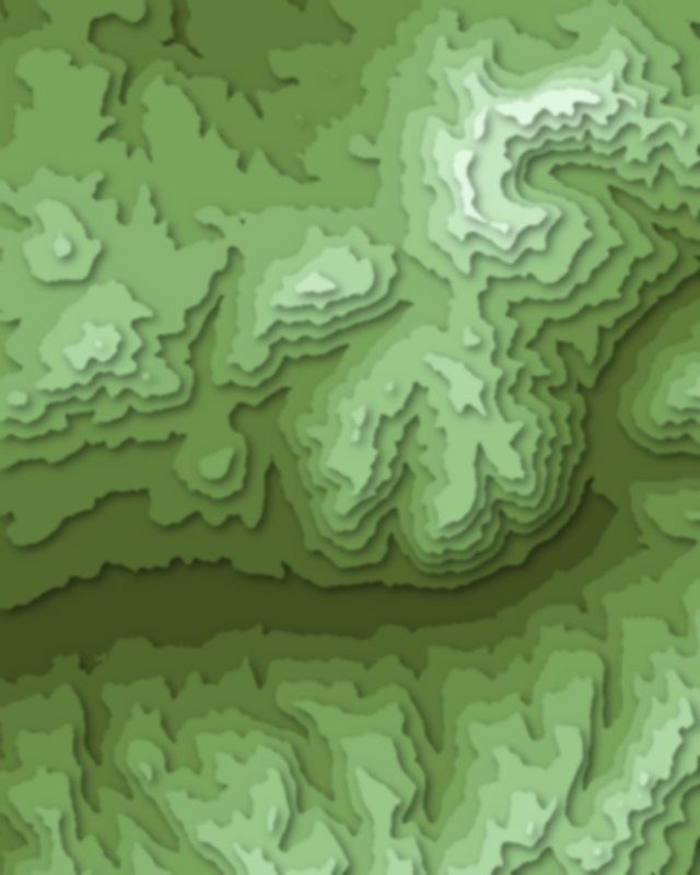
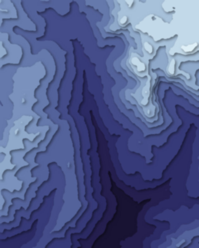
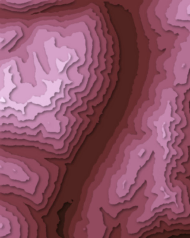
Map of 50 places in Trentino-South Tyrol: 26 peaks, 12 passes, 11 canyons and 1 lake, each with a 3D terrain model, contours and an elevation profile.
- Canyon
- Pass
- Peak
- Lake
Highest Mountains in Trentino-South Tyrol
26 peaks
| # | Peak | Elevation | Prominence | Region |
|---|---|---|---|---|
| 9 | Hochwilde | 3,480 m | 360 m | Trentino-South Tyrol, Italy |
| 10 | Carè Alto | 3,465 m | 503 m | Trentino-South Tyrol, Italy |
| 11 | Wilder Pfaff | 3,456 m | 128 m | Trentino-South Tyrol, Italy |
| 12 | Hochgall | 3,436 m | 1,145 m | Trentino-South Tyrol, Italy |
| 13 | Wilder Freiger | 3,418 m | 289 m | Trentino-South Tyrol, Italy |
| 14 | Großer Löffler | 3,379 m | 378 m | Trentino-South Tyrol, Italy |
| 15 | Hoher Weißzint | 3,371 m | 848 m | Trentino-South Tyrol, Italy |
| 16 | Schwarzenstein | 3,369 m | 407 m | Trentino-South Tyrol, Italy |
| 17 | Schneebiger Nock | 3,358 m | 549 m | Trentino-South Tyrol, Italy |
| 18 | Piz Boè | 3,152 m | 938 m | Trentino-South Tyrol, Italy |
| 19 | Hohe Gaisl | 3,146 m | 1,140 m | Trentino-South Tyrol, Italy |
| 20 | Zwölferkofel | 3,094 m | 663 m | Trentino-South Tyrol, Italy |
| 21 | Cima d’Asta | 2,847 m | 932 m | Trentino-South Tyrol, Italy |
| 22 | Hirzer | 2,781 m | 751 m | Trentino-South Tyrol, Italy |
| 23 | Kronplatz | 2,275 m | 513 m | Trentino-South Tyrol, Italy |
| 24 | Cermis | 2,226 m | 53 m | Trentino-South Tyrol, Italy |
| 25 | Monte Bondone | 2,180 m | 1,686 m | Trentino-South Tyrol, Italy |
| 26 | Monte Altissimo di Nago | 2,078 m | 653 m | Trentino-South Tyrol, Italy |
Passes
12 passes
| # | Place | Type | Elevation | Prominence | Region |
|---|---|---|---|---|---|
| 9 | Tonale Pass | Pass | 1,884 m | — | Trentino-South Tyrol, Italy |
| 10 | Lavazè Pass | Pass | 1,808 m | — | Trentino-South Tyrol, Italy |
| 11 | Campo Carlo Magno | Pass | 1,682 m | — | Trentino-South Tyrol, Italy |
| 12 | Mendel Pass | Pass | 1,363 m | — | Trentino-South Tyrol, Italy |
Canyons
11 canyons
| # | Place | Type | Elevation | Prominence | Region |
|---|---|---|---|---|---|
| 9 | Fassa Valley | Canyon | — | — | Trentino-South Tyrol, Italy |
| 10 | Ridnaun Valley | Canyon | — | — | Trentino-South Tyrol, Italy |
| 11 | Ulten Valley | Canyon | — | — | Trentino-South Tyrol, Italy |
Lakes
1 lake