Central Eastern Alps
Styrian Prealps Map: Peaks, Passes and Hikes in 3D
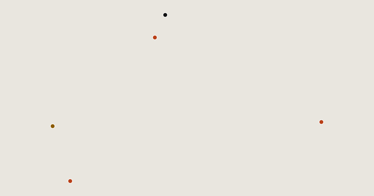
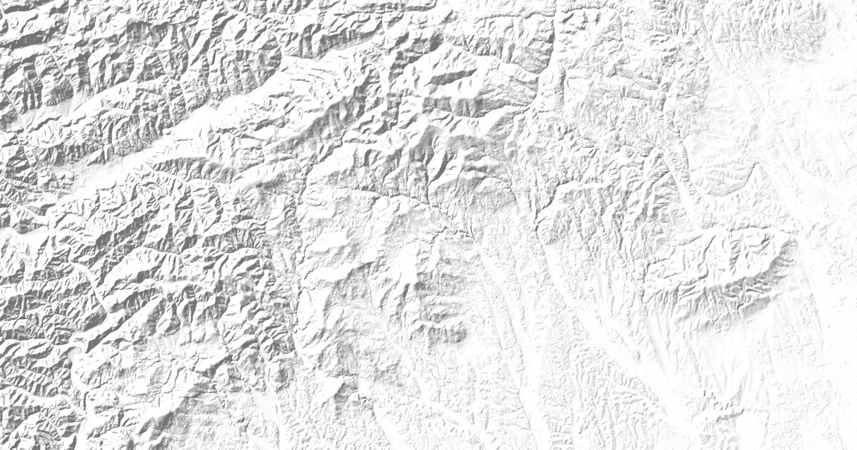
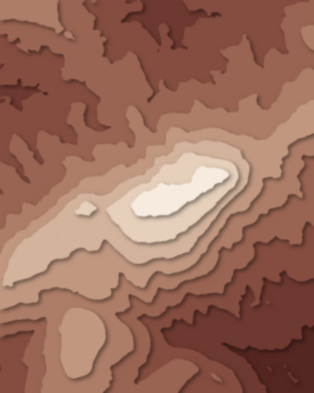
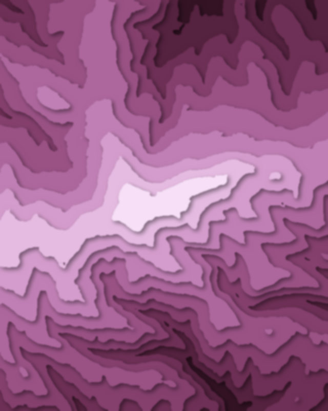
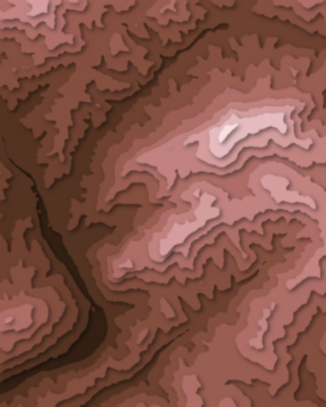
Map of 5 places in Styrian Prealps: 3 peaks, 1 canyon and 1 pass, each with a 3D terrain model, contours and an elevation profile.
Sub-areas
- Peak
- Pass
- Canyon
Peaks
3 peaks
Canyons
1 canyon
Passes
1 pass