South America
Chile Mountains Map: Peaks, Lakes and Canyons in 3D
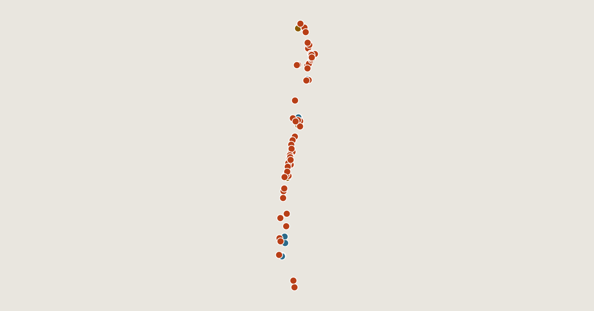
Map of 76 places in Chile: 62 peaks, 10 lakes, 3 canyons and 1 pass, each with a 3D terrain model, contours and an elevation profile.
Regions
Lists
- Peak
- Lake
- Canyon
- Pass
Place
page 2 of 2
- Osorno
- Cerro Paranal
- Sierra Nevada
- Puntiagudo-Cordón Cenizos
- Melimoyu
- Mocho-Choshuenco
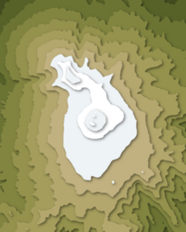
- Corcovado Volcano
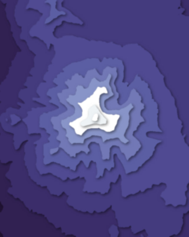
- Sollipulli
| # | Place | Type | Elevation | Prominence | Region |
|---|---|---|---|---|---|
| 59 | Monte Sarmiento | Peak | 2,246 m | 2,125 m | Magellan and the Chilean Antarctic Region, Chile |
| 60 | Puyehue-Cordón Caulle | Peak | 2,236 m | 1,075 m | Los Ríos Region, Chile |
| 61 | Calbuco | Peak | 2,003 m | 1,938 m | Araucanía Region, Chile |
| 62 | Cerro La Campana | Peak | 1,880 m | 775 m | Valparaíso Region, Chile |
| 63 | Viedma | Peak | 1,500 m | 0 m | Santa Cruz Province, Argentina |
| 64 | Chaitén | Peak | 1,122 m | 434 m | Los Lagos Region, Chile |
| 65 | Reclus | Peak | 1,000 m | 0 m | Magellan and the Chilean Antarctic Region, Chile |
| 66 | Cerro San Cristóbal | Peak | 880 m | 215 m | Santiago Metropolitan Region, Chile |
| 67 | Mount Tarn | Peak | 825 m | 620 m | Magellan and the Chilean Antarctic Region, Chile |
| 68 | O'Higgins/San Martín Lake | Lake | 285 m | — | Santa Cruz Province, Argentina |
| 69 | Viedma Lake | Lake | 250 m | — | Santa Cruz Province, Argentina |
| 70 | Azapa Valley | Canyon | 157 m | — | Arica y Parinacota Region, Chile |
| 71 | Lake Nordenskjöld | Lake | 65 m | — | Magellan and the Chilean Antarctic Region, Chile |
| 72 | Lake Pehoé | Lake | 34 m | — | Magellan and the Chilean Antarctic Region, Chile |
| 73 | Licancabur Lake | Lake | — | — | Chile |
| 74 | Cajón del Maipo | Canyon | — | — | Chile |
| 75 | Embalse El Yeso | Lake | — | — | Chile |
| 76 | Cochamó Valley | Canyon | — | — | Chile |
- Antofagasta Region10
- Araucanía Region7
- Magellan and the Chilean Antarctic Region6
- Los Lagos Region4
- Arica y Parinacota Region3
- Santiago Metropolitan Region3