Andes
Patagonian Andes Map: Peaks, Passes and Hikes in 3D
Map of 17 places in Patagonian Andes: 17 peaks, each with a 3D terrain model, contours and an elevation profile.
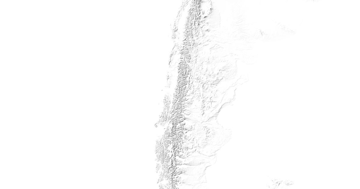
Highest Mountains in the Patagonian Andes
17 peaks

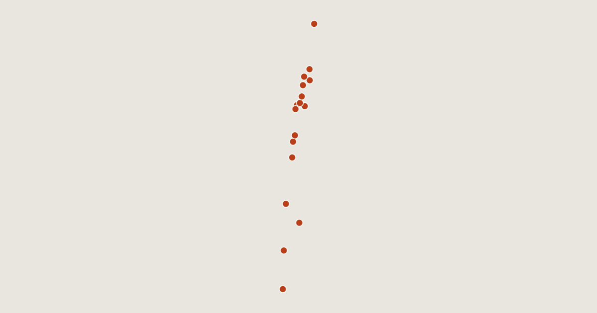
| # | Peak | Elevation | Prominence | Region |
|---|---|---|---|---|
| 9 | Puntiagudo-Cordón Cenizos | 2,493 m | 1,582 m | Los Lagos Region, Chile |
| 10 | Melimoyu | 2,440 m | 2,272 m | Aysén Region, Chile |
| 11 | Mocho-Choshuenco | 2,422 m | 1,545 m | Los Ríos Region, Chile |
| 12 | Corcovado Volcano | 2,300 m | 1,510 m | Los Lagos Region, Chile |
| 13 | Sollipulli | 2,282 m | 155 m | Araucanía Region, Chile |
| 14 | Puyehue-Cordón Caulle | 2,236 m | 1,075 m | Los Ríos Region, Chile |
| 15 | Calbuco | 2,003 m | 1,938 m | Araucanía Region, Chile |
| 16 | Chaitén | 1,122 m | 434 m | Los Lagos Region, Chile |
| 17 | Reclus | 1,000 m | 0 m | Magellan and the Chilean Antarctic Region, Chile |