Switzerland
Canton of Ticino Mountains Map: Peaks, Canyons and Lakes in 3D
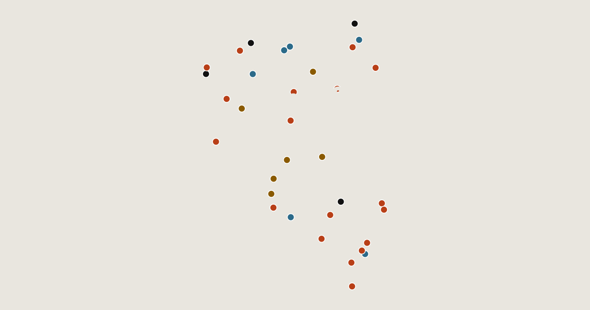
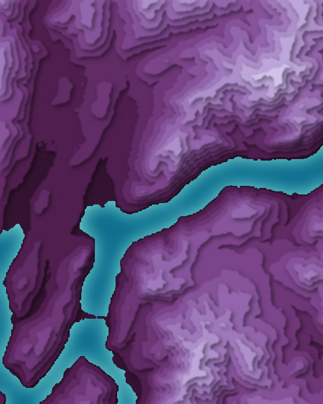
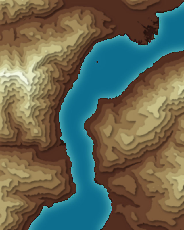
Map of 34 places in Canton of Ticino: 18 peaks, 6 canyons, 6 lakes and 4 passes, each with a 3D terrain model, contours and an elevation profile.
- Lake
- Pass
- Canyon
- Peak
Highest Mountains in Canton of Ticino
18 peaks
- Rheinwaldhorn
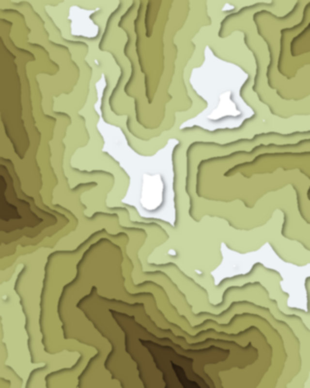
- Basòdino
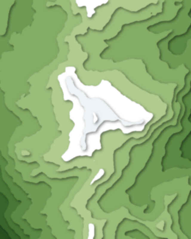
- Pizzo Campo Tencia
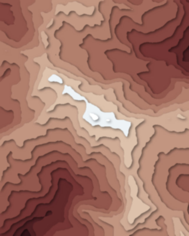
- Pizzo Gallina
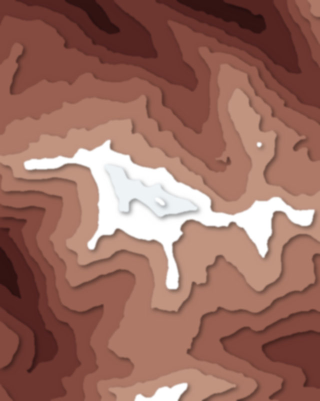
- Pizzo Lucendro
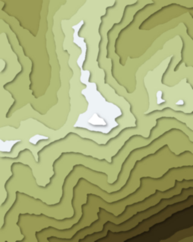
- Pizzo Quadro
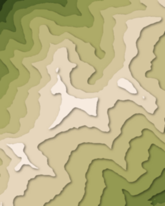
- Monte Zucchero
- Pizzo Erra
| # | Peak | Elevation | Prominence | Region |
|---|---|---|---|---|
| 9 | Camoghè | 2,228 m | 280 m | Canton of Ticino, Switzerland |
| 10 | Sosto | 2,221 m | 523 m | Canton of Ticino, Switzerland |
| 11 | Gridone | 2,188 m | 1,235 m | Canton of Ticino, Switzerland |
| 12 | Gazzirola | 2,116 m | 65 m | Canton of Ticino, Switzerland |
| 13 | Monte Tamaro | 1,962 m | 1,404 m | Canton of Ticino, Switzerland |
| 14 | Monte Lema | 1,624 m | 143 m | Canton of Ticino, Switzerland |
| 15 | Monte Boglia | 1,516 m | 329 m | Canton of Ticino, Switzerland |
| 16 | Monte San Giorgio | 1,097 m | 757 m | Canton of Ticino, Switzerland |
| 17 | Monte Brè | 925 m | 136 m | Canton of Ticino, Switzerland |
| 18 | Monte San Salvatore | 912 m | 599 m | Canton of Ticino, Switzerland |
Canyons
6 canyons
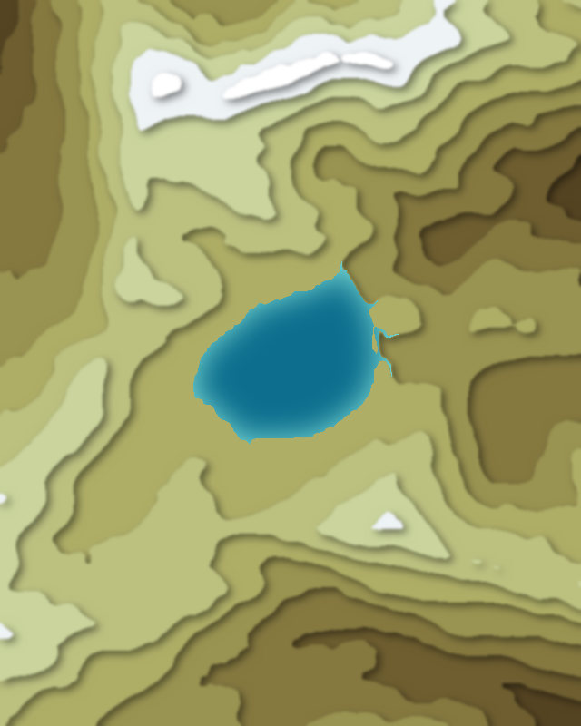
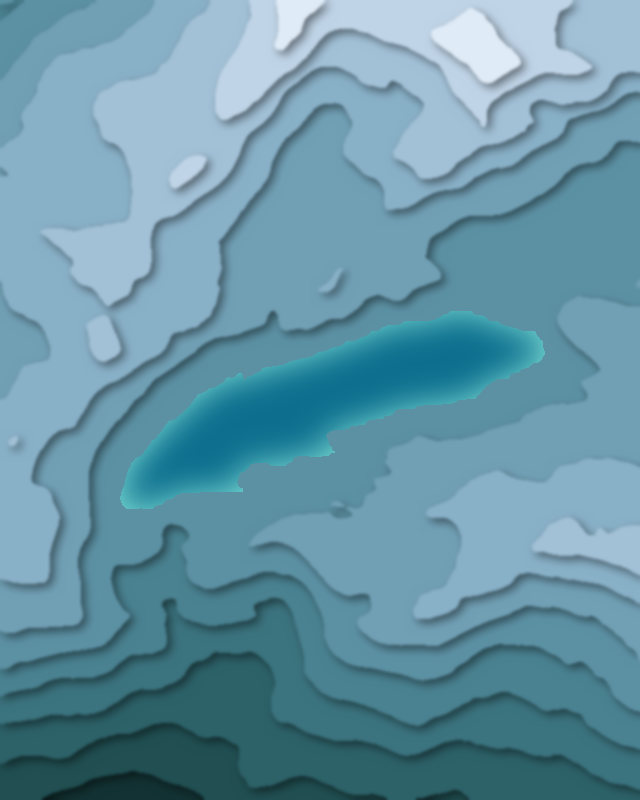
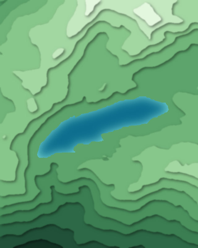
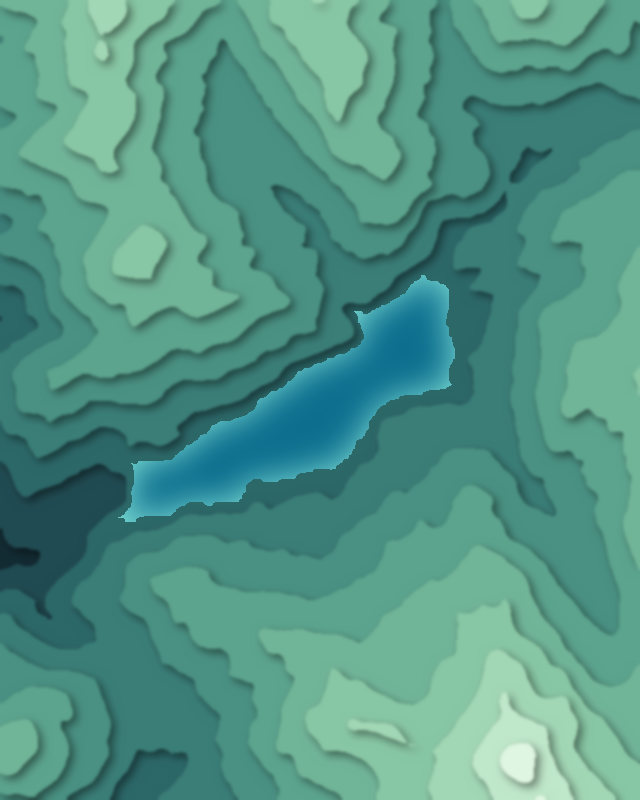
Lakes
6 lakes
Passes
4 passes