Northwestern Alps
Lepontine Alps Map: Peaks, Passes and Hikes in 3D
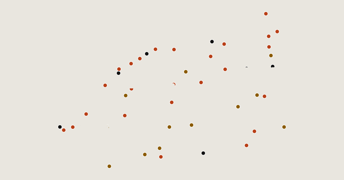
Map of 44 places in Lepontine Alps: 25 peaks, 12 canyons and 7 passes, each with a 3D terrain model, contours and an elevation profile.
Sub-areas
- Pass
- Canyon
- Peak
Highest Mountains in the Lepontine Alps
25 peaks
| # | Peak | Elevation | Prominence | Region |
|---|---|---|---|---|
| 9 | Pizzo Campo Tencia | 3,072 m | 753 m | Canton of Ticino, Switzerland |
| 10 | Pizzo Gallina | 3,061 m | 392 m | Canton of Ticino, Switzerland |
| 11 | Bruschghorn | 3,056 m | 579 m | Canton of the Grisons, Switzerland |
| 12 | Alperschällihorn | 3,036 m | 424 m | Canton of the Grisons, Switzerland |
| 13 | Piz Corbet | 3,025 m | 668 m | Canton of the Grisons, Switzerland |
| 14 | Piz Blas | 3,019 m | 281 m | Canton of the Grisons, Switzerland |
| 15 | Pizzo Centrale | 2,999 m | 462 m | Canton of Uri, Switzerland |
| 16 | Piz Beverin | 2,998 m | 396 m | Canton of the Grisons, Switzerland |
| 17 | Pizzo Lucendro | 2,963 m | 351 m | Canton of Ticino, Switzerland |
| 18 | Piz Fess | 2,880 m | 501 m | Canton of the Grisons, Switzerland |
| 19 | Pizzo Quadro | 2,793 m | 470 m | Canton of Ticino, Switzerland |
| 20 | Monte Zucchero | 2,735 m | 580 m | Canton of Ticino, Switzerland |
| 21 | Pizzo Paglia | 2,593 m | 504 m | Canton of the Grisons, Switzerland |
| 22 | Pizzo Erra | 2,417 m | 303 m | Canton of Ticino, Switzerland |
| 23 | Marmontana | 2,316 m | 351 m | Canton of the Grisons, Switzerland |
| 24 | Sosto | 2,221 m | 523 m | Canton of Ticino, Switzerland |
| 25 | Gridone | 2,188 m | 1,235 m | Canton of Ticino, Switzerland |
Canyons
12 canyons
| # | Place | Type | Elevation | Prominence | Region |
|---|---|---|---|---|---|
| 9 | Valle Vigezzo | Canyon | — | — | Piedmont, Italy |
| 10 | Ossola | Canyon | — | — | Piedmont, Italy |
| 11 | Centovalli | Canyon | — | — | Canton of Ticino, Switzerland |
| 12 | Valle Antigorio | Canyon | — | — | Piedmont, Italy |
Passes
7 passes