Eastern Rhaetian Alps
Ötztal Alps Map: Peaks, Passes and Hikes in 3D
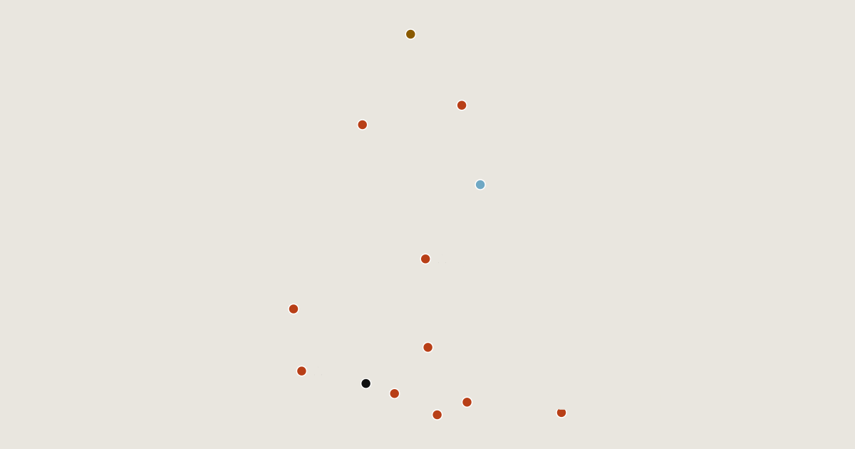
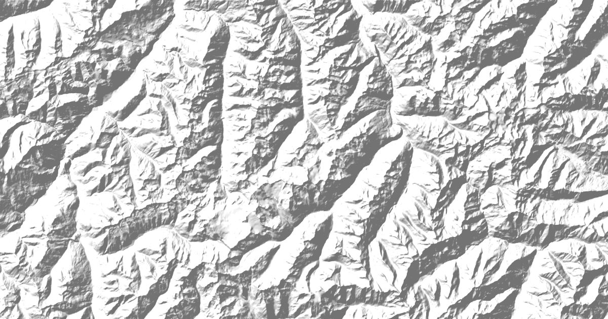
Map of 13 places in Ötztal Alps: 10 peaks, 1 canyon, 1 glacier and 1 pass, each with a 3D terrain model, contours and an elevation profile.
Sub-areas
- Canyon
- Peak
- Pass
- Glacier
Highest Mountains in the Ötztal Alps
10 peaks
| # | Peak | Elevation | Prominence | Region |
|---|---|---|---|---|
| 9 | Kreuzspitze | 3,455 m | 245 m | Tyrol, Austria |
| 10 | Hohe Geige | 3,393 m | 466 m | Tyrol, Austria |
Canyons
1 canyon
Glaciers
1 glacier
Passes
1 pass