Mountains
Salinas and Aguada Blanca National Reservation Map: Peaks and Camping
Map of 4 places in Salinas and Aguada Blanca National Reservation: 4 peaks, each with a 3D terrain model, contours and an elevation profile.
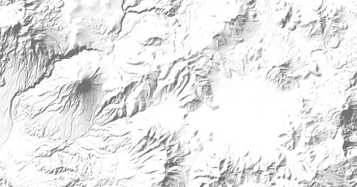
Peaks
4 peaks
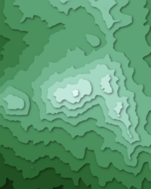
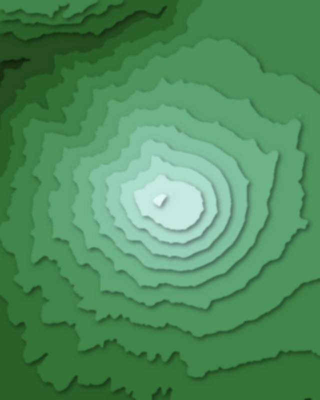
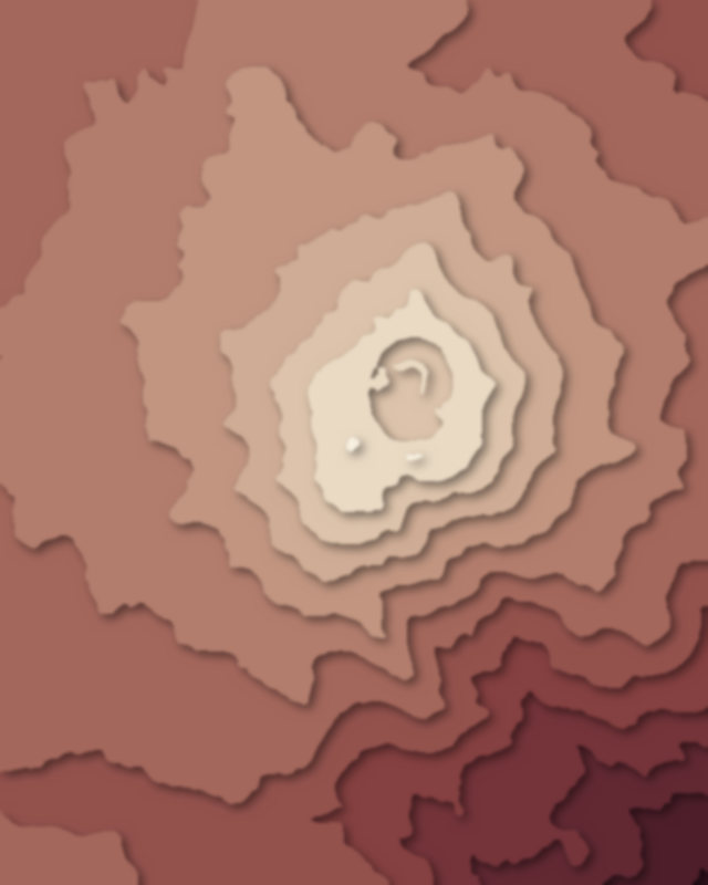

Camping and parking in Salinas and Aguada Blanca National Reservation
Campsites, huts, car parks and trailheads mapped in OpenStreetMap near the park's places, each under the place it is nearest to, by straight-line distance. Check access, fees and permits locally.
Campsites 5
Campamento
Campsite
Acampamiento base de Chachani
Campo Pyramde
campamento base
Parking 4
Parking
Parking
Parking
Parking