Mountains
Sagarmatha National Park Map: Lakes, Peaks and Camping
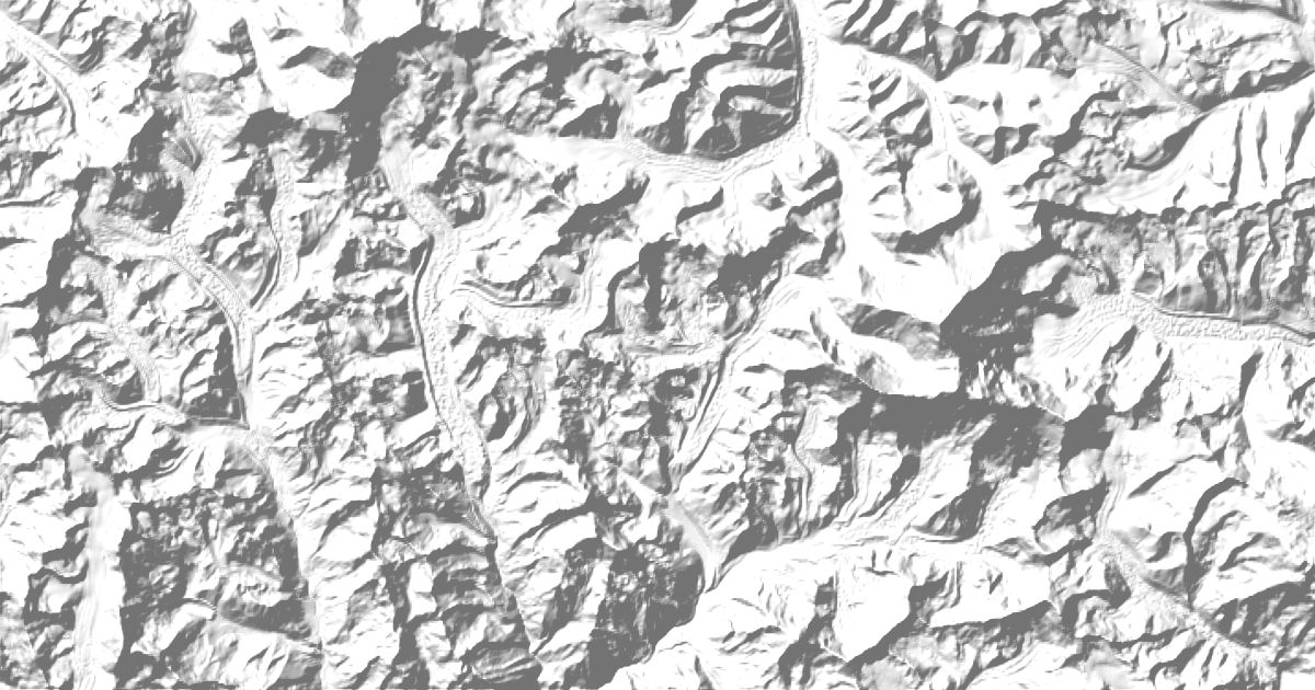
Map of 12 places in Sagarmatha National Park: 9 peaks, 1 glacier, 1 lake and 1 pass, each with a 3D terrain model, contours and an elevation profile.
Lists
- Peak
- Glacier
- Pass
- Lake
Peaks
9 peaks
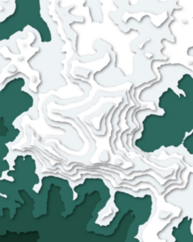
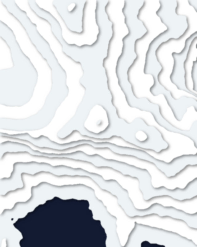
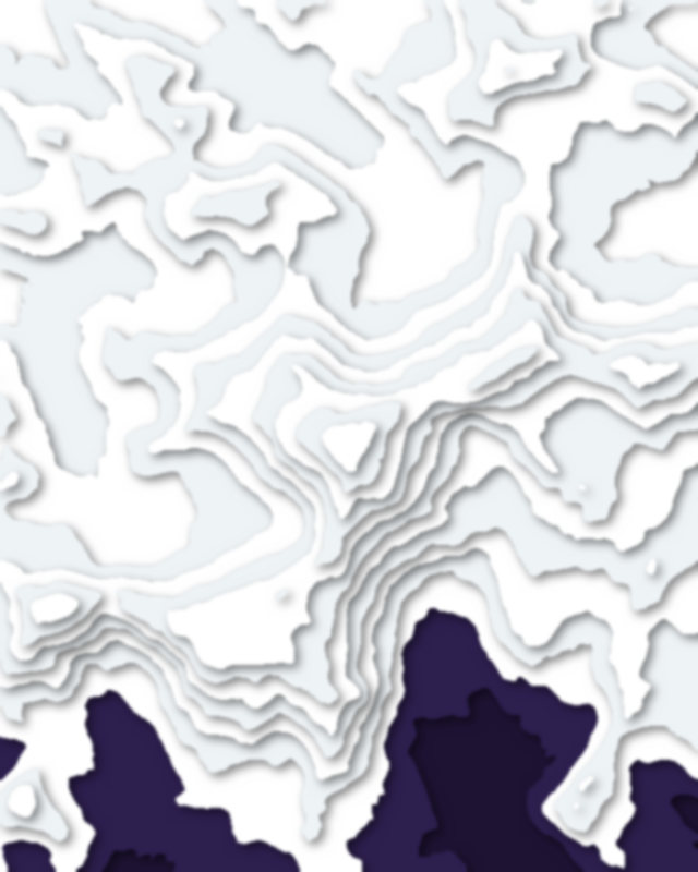
| # | Peak | Elevation | Prominence | Region |
|---|---|---|---|---|
| 9 | Kala Patthar | 5,645 m | 0 m | Koshi Province, Nepal |
Glaciers
1 glacier
Lakes
1 lake
Passes
1 pass
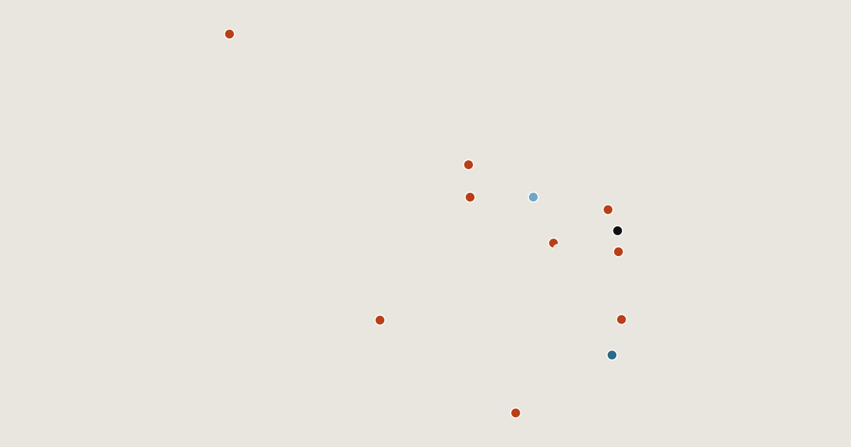
Camping and parking in Sagarmatha National Park
Campsites, huts, car parks and trailheads mapped in OpenStreetMap near the park's places, each under the place it is nearest to, by straight-line distance. Check access, fees and permits locally.
Campsites 18
Camp 4S South Col
Camp 3
Camp 2.9
Camp 2
Island Peak Base Camp
More 13
Camp 1S
三号营地
Camp 3S
Island Peak High Camp
二号营地
Camp 2S
Everest Base Camp
Asian Trekking
Lobuche High Camp
Amphu Laptsa La BC South 1
Campsite
Campsite
Campsite
Huts 1
Shepherd's hut