Ireland
County Wicklow Mountains Map: Peaks, Canyons and Lakes in 3D
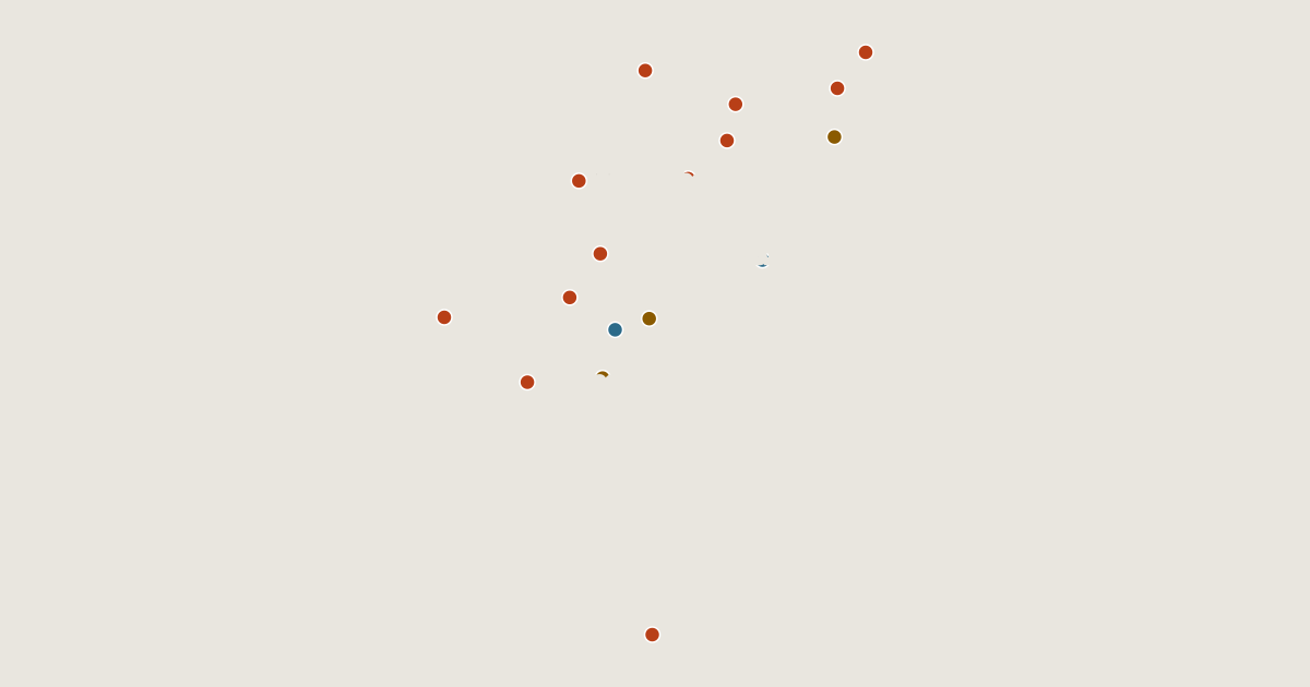
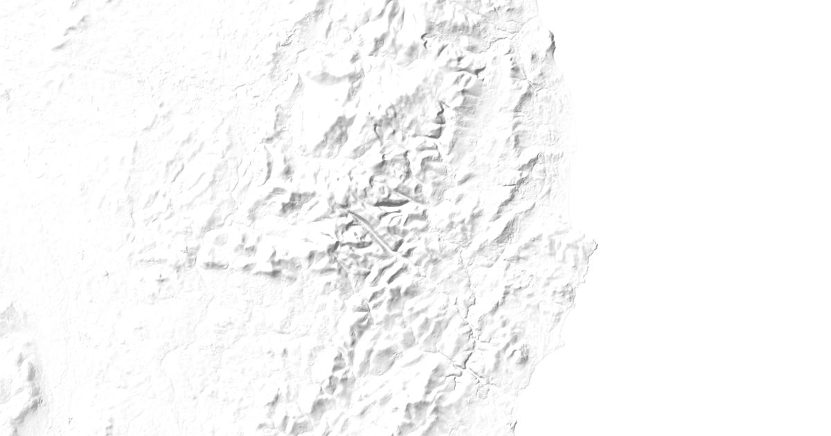
Map of 17 places in County Wicklow: 12 peaks, 3 canyons and 2 lakes, each with a 3D terrain model, contours and an elevation profile.
- Canyon
- Peak
- Lake
Highest Mountains in County Wicklow
12 peaks



| # | Peak | Elevation | Prominence | Region |
|---|---|---|---|---|
| 9 | Maulin | 570 m | 72 m | County Wicklow, Ireland |
| 10 | Sugarloaf (West Wicklow) | 552 m | 18 m | County Wicklow, Ireland |
| 11 | Little Sugar Loaf | 342 m | 234 m | County Wicklow, Ireland |
| 12 | Bray Head | 241 m | 123 m | County Wicklow, Ireland |
Canyons
3 canyons
Lakes
2 lakes