Ireland
County Kerry Mountains Map: Peaks, Passes and Lakes in 3D
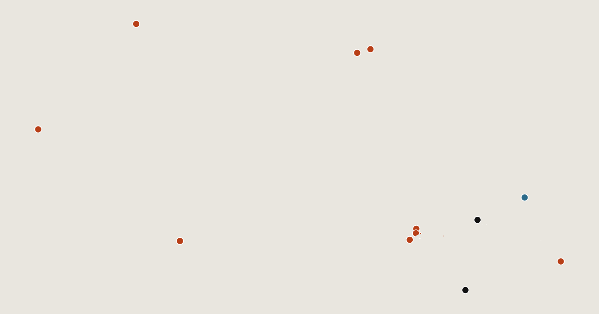
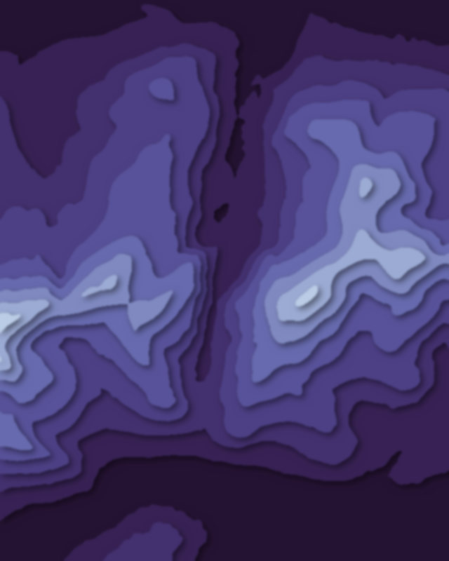
Map of 17 places in County Kerry: 14 peaks, 2 passes and 1 lake, each with a 3D terrain model, contours and an elevation profile.
Lists
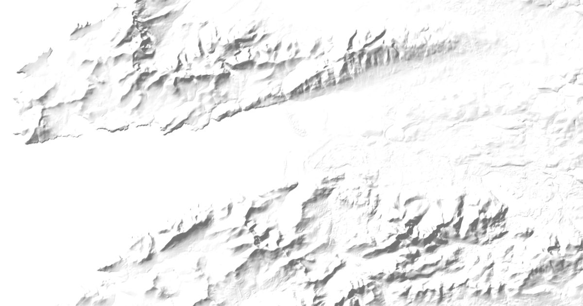
- Peak
- Pass
- Lake
Highest Mountains in County Kerry
14 peaks
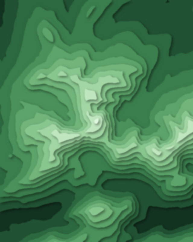
| # | Peak | Elevation | Prominence | Region |
|---|---|---|---|---|
| 9 | Mangerton Mountain | 838 m | 579 m | County Kerry, Ireland |
| 10 | Caherconree | 835 m | 131 m | County Kerry, Ireland |
| 11 | Purple Mountain | 832 m | 595 m | County Kerry, Ireland |
| 12 | Knocknadobar | 690 m | 566 m | County Kerry, Ireland |
| 13 | Torc Mountain | 535 m | 298 m | County Kerry, Ireland |
| 14 | Mount Eagle | 516 m | 455 m | County Kerry, Ireland |
Passes
2 passes
Lakes
1 lake