Fatra-Tatra Area
Tatra Mountains Map: Peaks, Passes and Hikes in 3D
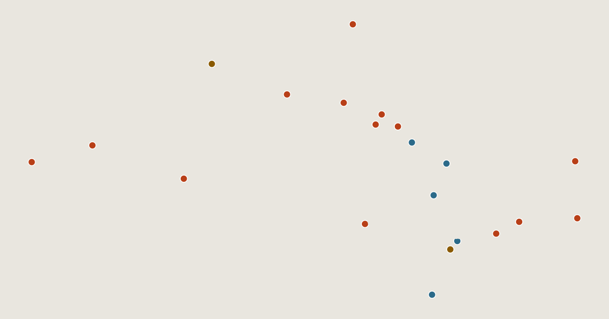
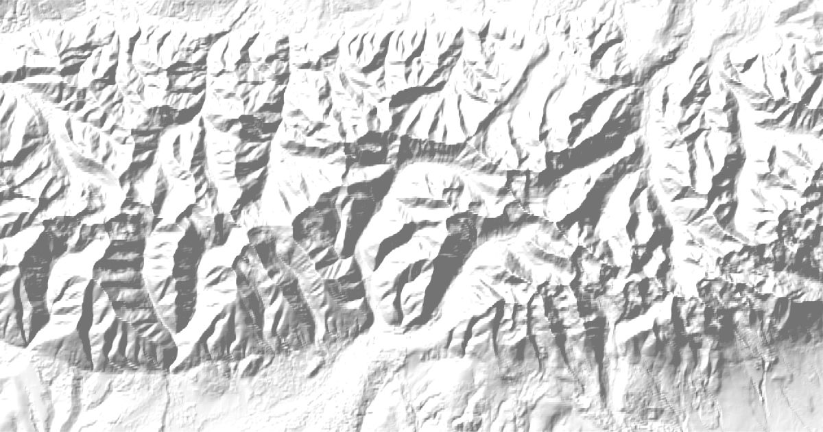
Map of 21 places in Tatra Mountains: 14 peaks, 5 lakes and 2 canyons, each with a 3D terrain model, contours and an elevation profile.
Sub-areas

Lists
- Lake
- Peak
- Canyon
Highest Peaks of the Tatra Mountains
14 peaks

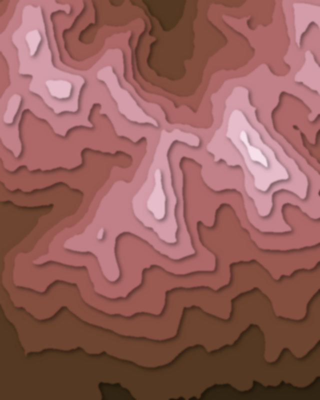
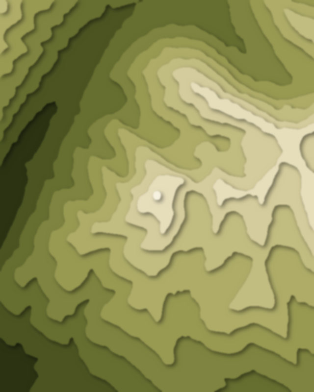

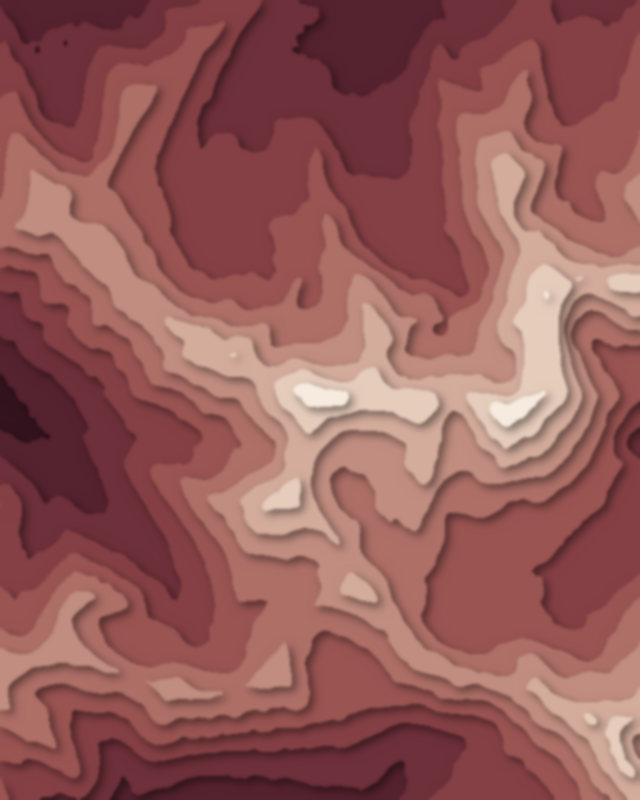
| # | Peak | Elevation | Prominence | Region |
|---|---|---|---|---|
| 9 | Baníkov | 2,178 m | 265 m | Žilina region, Slovakia |
| 10 | Kościelec | 2,155 m | 232 m | Poland |
| 11 | Volovec | 2,063 m | 160 m | Lesser Poland Voivodeship, Poland |
| 12 | Kopa Kondracka | 2,005 m | 81 m | Lesser Poland Voivodeship, Poland |
| 13 | Kasprowy Wierch | 1,987 m | 41 m | Lesser Poland Voivodeship, Poland |
| 14 | Nosal | 1,206 m | 96 m | Poland |
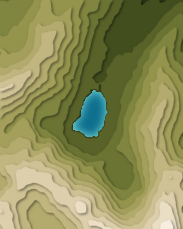
Lakes
5 lakes
Canyons
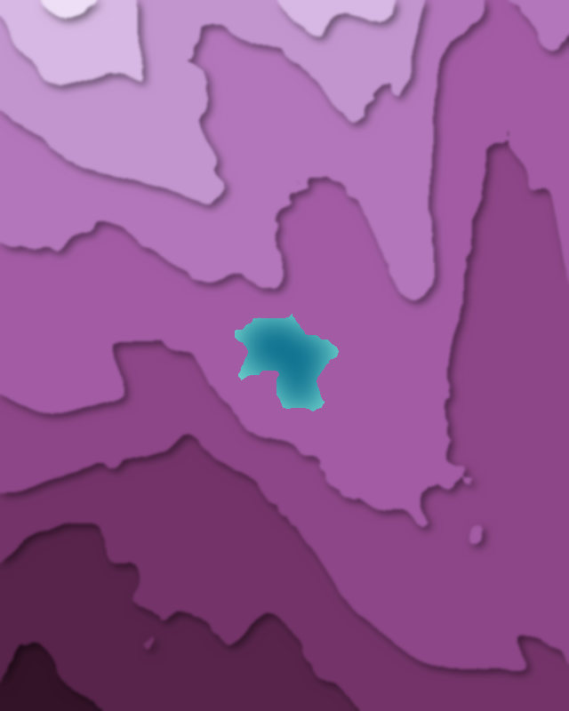
2 canyons