Also on the map ofHida Mountains‹ Japanese AlpsChūbu-Sangaku National Park
Mount Suishō
- Prominence
- 450 m1,478 ft
- Isolation
- 10 km
- Tonight
- -18°CCloudy · Wind 23 km/h SW
Mount Suishō is a 2,986 m (9,797 ft) mountain in the Hida Mountains, Toyama Prefecture, Japan.
All facts
- Elevation
- 2,986 m · 9,797 ft
- Nearest higher peak
- Mount Yari (3,180 m)
- Range
- Hida Mountains
- Region
- Toyama Prefecture, Japan
- Protected area
- Chūbu-Sangaku National Park
- Coordinates
- 36.4265° N, 137.6029° E
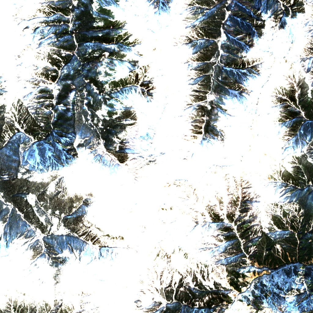
Mount Suishō 3D map
Drag to orbit · click, then scroll to zoom (or Ctrl/⌘ + scroll) · One finger scrolls the page · two fingers orbit and zoom · 10 × 10 km
Mount Suishō terrain and contours
50 m contours from the Copernicus GLO-30 terrain model. Click two points on the map to draw your own cross-section.Tap two points on the map to draw your own cross-section.
Mount Suishō elevation profile
West → east through the summit
Mount Suishō weather
Today · Clear · -18 / -8°C (0 / 18°F) · Wind 23 km/h SW
Mount Suishō forecast for the summit, about 2,986 m. Summit vs base: the Base line is for about 1,540 m.
- Today-18°-8°–23 km/h SWBase -9 / 1°
- Tue-18°-6°42.6 mm30 km/h SWBase -10 / 2°
- Wed-19°-13°3.4 mm17 km/h WBase -10 / -5°
- Thu-10°-6°–6 km/h WBase -2 / 3°
- Fri-5°-4°8.6 mm10 km/h SWBase 4 / 4°
- Sat-12°-4°10.2 mm20 km/h WBase -4 / 5°
- Sun-12°-8°–10 km/h WBase -3 / 1°
- Mon-8°-4°–9 km/h WBase 0 / 5°
- Tue-8°0°0.1 mm7 km/h SWBase 1 / 8°
Forecast data: MET Norway, CC BY 4.0; daily low and high, precipitation total and strongest wind from the hourly data, model run Nov 22, 19:17 UTC.
Slope
Share of the 10 × 10 km view by steepness, from the 30 m model.
Mostly steep: more than half the view is steeper than 30°, the angle of most avalanche terrain.
- Steeper than 30°
- 58.0% of the 100 km² view
- Relief in view
- 1,436 m low point 1,540 m
Land cover
ESA WorldCover 10 m classification of the same area.
Snow & ice means glaciers and year-round snow (a yearly average), not today’s snow cover.
Nearby summits
Named peaks within 5 km, measured from the Mount Suishō summit.
Summit list 8
- 1Mt. Jiidake2,825 m 2.0 km SSW
- 2Mt. Warimo2,888 m 2.0 km S
- 3Mount Washiba2,924 m 2.6 km S
- 4Mt. Masago2,862 m 2.7 km E
- 5Mt. Noguchigorōdake2,925 m 3.2 km ENE
- 6Mt. Minami-Masago2,713 m 3.8 km ESE
- 7Mt. Akaushi2,864 m 3.9 km N
- 8Mount Mitsumatarenge2,841 m 4.3 km SSW
Where Mount Suishō sits
- Range
- Japanese Alps12Hida Mountains9
- Region
- Toyama Prefecture4Japan168Asia1,233
- Protected area
- Chūbu-Sangaku National Park8
Nearby places
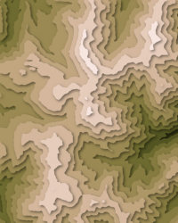 Mount WashibaPeak · 2,924 m↑2.6 km S
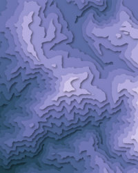 Mount KurobegorōPeak · 2,897 m↑6.8 km SW
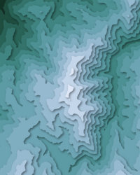 Mount YakushiPeak · 2,926 m↑7.0 km NW
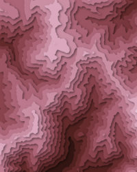 Mount YumioriPeak · 2,592 m↑8.6 km S
 Mount TsubakuroPeak · 2,763 m↑10 km ESE
More in the Hida Mountains 6
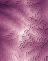
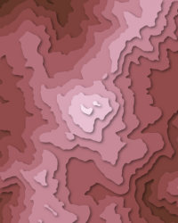
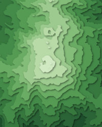
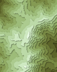
Mount Suishō downloads: topographic map, heightmap, STL 3D model and DEM
Free files made in your browser from this page's terrain data. No sign-up; credit the sources below.
Print & wall
3D printing & 3D apps
GIS & GPS
Free to use with credit: see the data sources
How accurate is this?
within 10 m This 3D map reads 2,976 m at the summit; the official height is 2,986 m.
A 30 m terrain model averages each cell, so a few metres either way is normal.
| Source | Summit | Difference |
|---|---|---|
| Official height (Wikidata) | 2,986 m | — |
| Copernicus GLO-30 (used on this page) | 2,976 m | -10 m |
| Copernicus GLO-90 | 2,968 m | -18 m |
Data sources
- Terrain
- Produced using Copernicus WorldDEM-30 © DLR e.V. 2010-2014 and © Airbus Defence and Space GmbH 2014-2018 provided under COPERNICUS by the European Union and ESA; all rights reserved. The European Union, ESA, DLR and Airbus incur no liability for any use of this data and do not endorse this service.
- Imagery
- Contains modified Copernicus Sentinel data 2025 (scene 2025-11-30)
- Land cover
- © ESA WorldCover project 2021 / Contains modified Copernicus Sentinel data (2021) processed by ESA WorldCover consortium
- Facts
- Wikidata (CC0)
- Summits
- © OpenStreetMap contributors, via Overture Maps Foundation (ODbL)
- Accuracy comparison, Panorama
- Includes Copernicus WorldDEM-90 © DLR e.V. 2010-2014 and © Airbus Defence and Space GmbH 2014-2018 provided under COPERNICUS by the European Union and ESA; all rights reserved. The European Union, ESA, DLR and Airbus incur no liability for any use of this data and do not endorse this service.
- Forecast
- Weather forecast from MET Norway (CC BY 4.0)
- Sources
- Wikidata · OpenStreetMap · GeoNames · Wikipedia