Mountains
Chūbu-Sangaku National Park Map: Peaks, Canyons and Camping
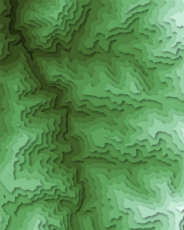
Map of 8 places in Chūbu-Sangaku National Park: 6 peaks and 2 canyons, each with a 3D terrain model, contours and an elevation profile.
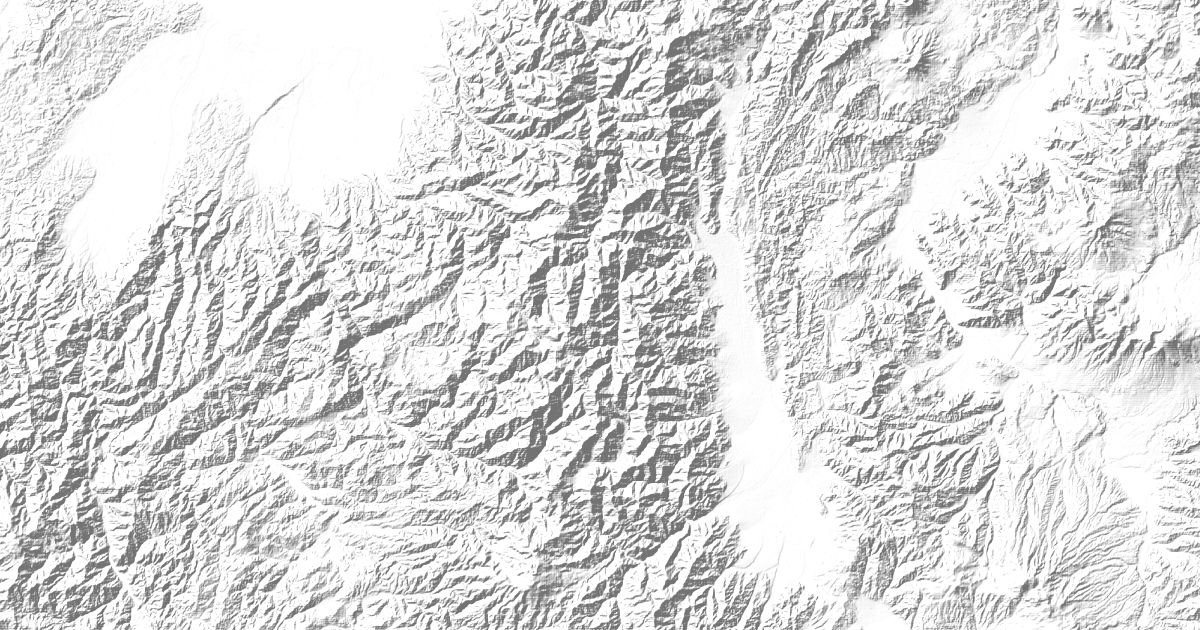
- Canyon
- Peak
Peaks
6 peaks
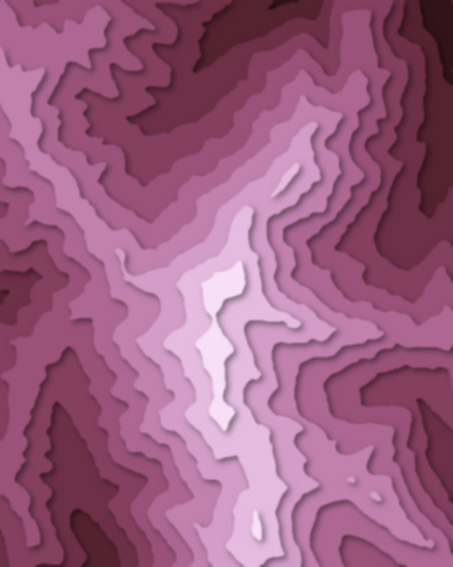
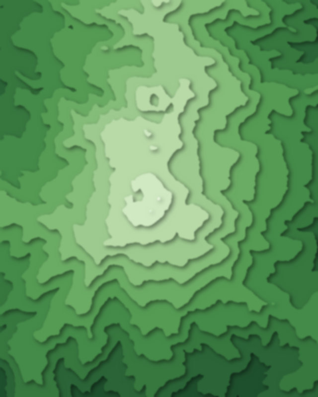
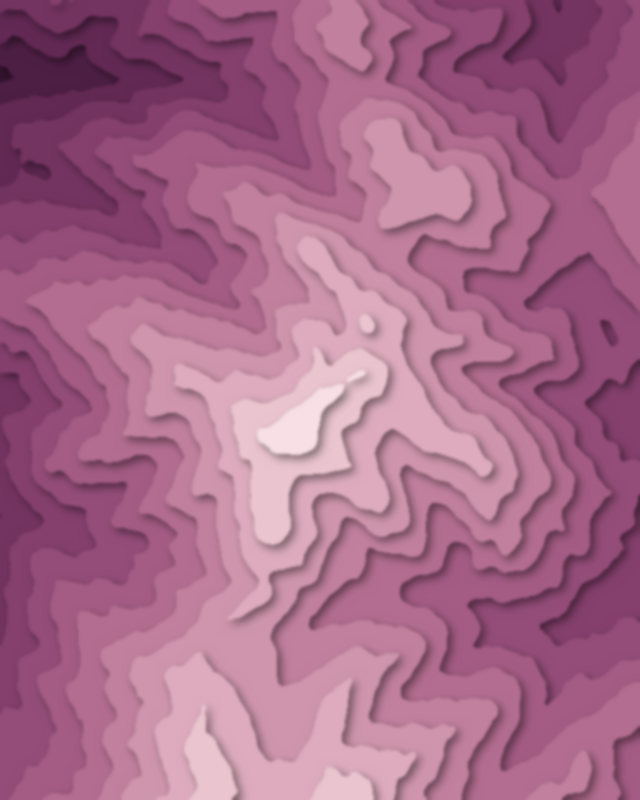
Canyons
2 canyons
Camping and parking in Chūbu-Sangaku National Park
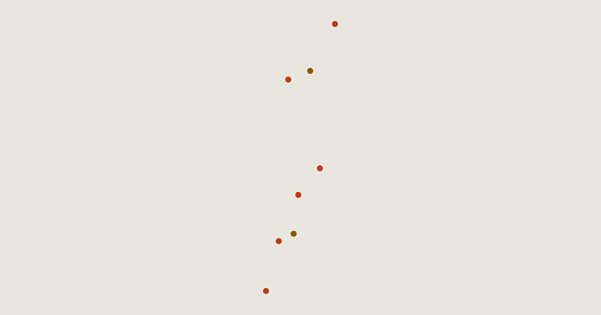
Campsites, huts, car parks and trailheads mapped in OpenStreetMap near the park's places, each under the place it is nearest to, by straight-line distance. Check access, fees and permits locally.
Campsites 14
Campsite
徳沢ロッヂ
小梨平キャンプ場
阿曽原温泉
劔沢キャンプサイト
More 9
剣沢キャンプ場
ババ平キャンプ場
合掌の森中尾キャンプ場
Campsite
雷鳥沢キャンプ場
涸沢野営場
一の瀬キャンプ場 (ichinose camp area)
飛騨たかね野麦オートビレッジ
AiMiX南乗鞍BASE
Huts 20
頂上小屋
槍ヶ岳山荘
白馬山荘
殺生ヒュッテ
白馬岳頂上宿舎
More 15
ヒュッテ大槍
肩の小屋
Hut
焼岳小屋
阿曽原温泉小屋
剣山荘
早月小屋
白馬尻小屋
劔澤小屋
西穂山荘
嘉門次小屋
山のひだや
仙人池ヒュッテ
池丿平小屋
十石峠小屋
Parking 13
Parking
Tatamidaira
Parking
Parking
Parking
More 8
Parking
三本滝駐車場
Parking
Parking
Parking
Parking
Parking
Parking
Trailheads 2
新中の湯登山口
笠新道登山口