Also on the map ofJura Mountains
Lac de Sylans
- Area
- 0.32 km²
- Max depth
- 22 m
- Tonight
- 5°CHeavy rain · Wind 24 km/h W
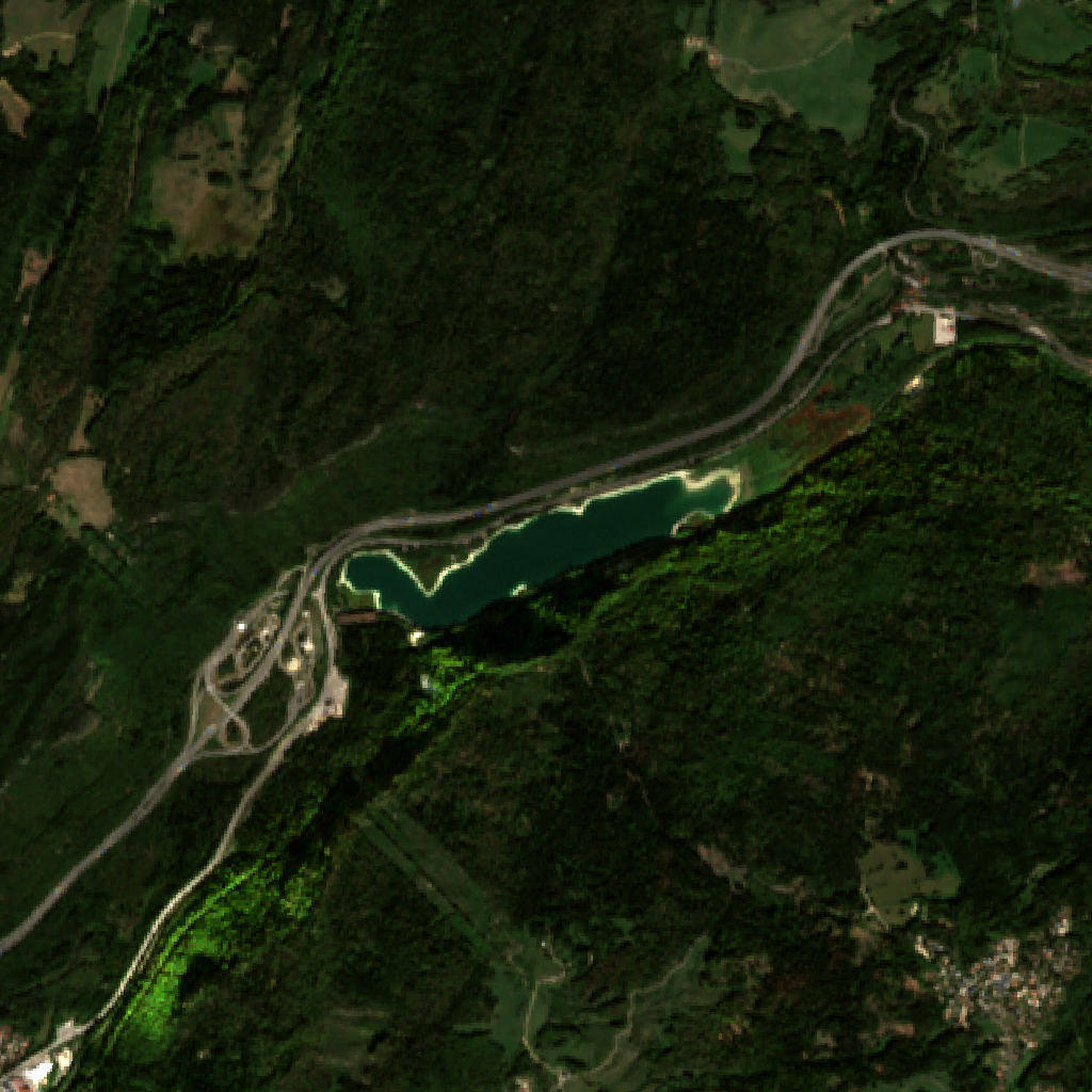
Lac de Sylans is a lake at 581 m above sea level in Auvergne-Rhône-Alpes, France, 0.32 km² in area and 1.6 km long.
All facts
- Surface elevation
- 581 m
- Length
- 1.6 km
- Shoreline
- 3.7 km
Lac de Sylans in numbers
Shoreline from OpenStreetMap.
- Shoreline
- 3.7 km≈1 h to walk around
Lac de Sylans 3D map
Drag to orbit · click, then scroll to zoom (or Ctrl/⌘ + scroll) · One finger scrolls the page · two fingers orbit and zoom · 4 × 4 km
Lac de Sylans terrain and contours
20 m contours from the Copernicus GLO-30 terrain model. Click two points on the map to draw your own cross-section.Tap two points on the map to draw your own cross-section.
Lac de Sylans elevation profile
West → east through the centre
Lac de Sylans weather
Tonight · Heavy rain · 5°C (41°F) · 10.3 mm · Wind 24 km/h W
Lac de Sylans forecast for about 581 m.
- Tonight5°10.3 mm24 km/h W
- Mon2°5°13.4 mm16 km/h SW
- Tue2°8°16.8 mm23 km/h E
- Wed2°5°8.8 mm16 km/h SE
- Thu2°4°1.7 mm6 km/h NW
- Fri-1°1°0.7 mm6 km/h NW
- Sat-2°4°–6 km/h SE
- Sun-2°6°–8 km/h SE
- Mon0°4°–6 km/h SE
- Tue1°7°0.2 mm8 km/h SE
Forecast data: MET Norway, CC BY 4.0; daily low and high, precipitation total and strongest wind from the hourly data, model run Nov 22, 19:17 UTC.
Camping & parking near Lac de Sylans
Campsites, parking, trailheads and mountain huts mapped in OpenStreetMap around Lac de Sylans, nearest first, by straight-line distance. Check access, fees and permits locally.
Nearest parking
Parking du lac de Sylans
Nearest campsite
Le camping des Granges
Nearest hut
Chalet de la Conay
Nearest caravan site
Aire Lac de Genin
Nearest trailhead
7.2 km SE
All mapped places 10
| Place | Distance |
|---|---|
| Parking du lac de SylansParking | 0.9 km WSW |
| Parking | 1.0 km WSW |
| Parking | 1.0 km WSW |
| Le camping des GrangesCampsite | 2.4 km S |
| Le SignalCampsite | 5.0 km WSW |
| Chalet de la ConayHut | 6.8 km ESE |
| Le Lac GeninCampsite | 6.9 km NNE |
| Aire Lac de GeninCaravan site | 6.9 km NNE |
| Trailhead | 7.2 km SE |
| Trailhead | 7.8 km SE |
Slope
Share of the 4 × 4 km view by steepness, from the 30 m model.
Mostly gentle: 61% of the view is under 15°.
- Steeper than 30°
- 12.7% of the 16 km² view
- Relief in view
- 484 m low point 526 m
Land cover
ESA WorldCover 10 m classification of the same area.
Snow & ice means glaciers and year-round snow (a yearly average), not today’s snow cover.
Where Lac de Sylans sits
- Range
- Jura Mountains56
- Region
- Auvergne-Rhône-Alpes70France285Europe3,463
Nearby places
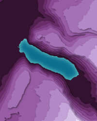 Lac de NantuaLake · 475 m↑5.7 km W
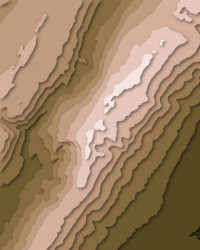 Le ReculetPeak · 1,717 m↑23 km ENE
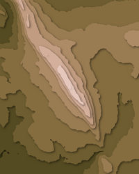 VuachePeak · 1,112 m↑24 km ESE
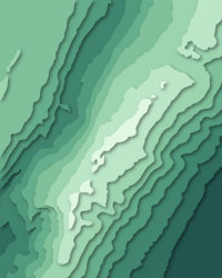 Crêt de la NeigePeak · 1,718 m↑25 km ENE
 Col du Grand ColombierPass · 1,498 m↑30 km SSE
More in the Jura Mountains 6
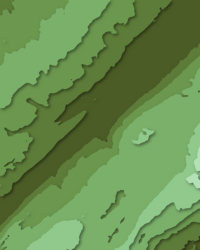
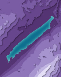
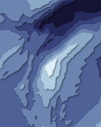
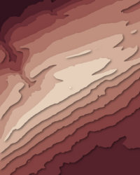
Lac de Sylans downloads: topographic map, heightmap, STL 3D model and DEM
Free files made in your browser from this page's terrain data. No sign-up; credit the sources below.
Print & wall
3D printing & 3D apps
GIS & GPS
Free to use with credit: see the data sources
Data sources
- Terrain
- Produced using Copernicus WorldDEM-30 © DLR e.V. 2010-2014 and © Airbus Defence and Space GmbH 2014-2018 provided under COPERNICUS by the European Union and ESA; all rights reserved. The European Union, ESA, DLR and Airbus incur no liability for any use of this data and do not endorse this service.
- Imagery
- Contains modified Copernicus Sentinel data 2026 (scene 2026-09-23)
- Land cover
- © ESA WorldCover project 2021 / Contains modified Copernicus Sentinel data (2021) processed by ESA WorldCover consortium
- Facts
- Wikidata (CC0)
- Camping & parking, Geometry
- © OpenStreetMap contributors (ODbL)
- Summits
- © OpenStreetMap contributors, via Overture Maps Foundation (ODbL)
- Panorama
- Includes Copernicus WorldDEM-90 © DLR e.V. 2010-2014 and © Airbus Defence and Space GmbH 2014-2018 provided under COPERNICUS by the European Union and ESA; all rights reserved. The European Union, ESA, DLR and Airbus incur no liability for any use of this data and do not endorse this service.
- Forecast
- Weather forecast from MET Norway (CC BY 4.0)