Mountains
Jura Mountains Map: Peaks, Passes and Hikes in 3D
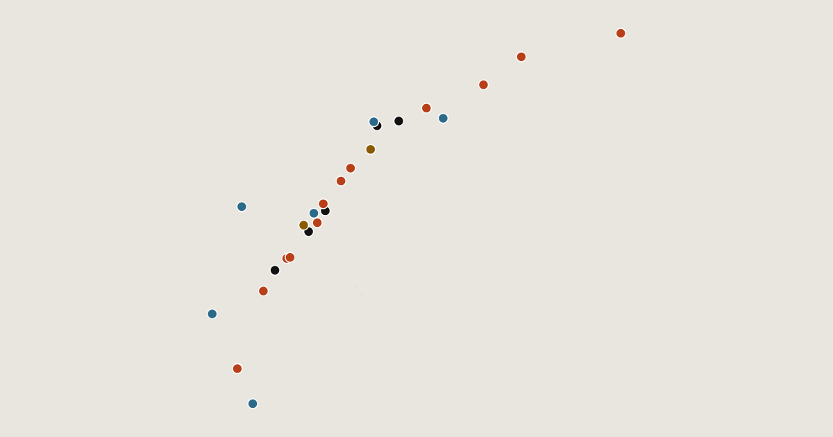
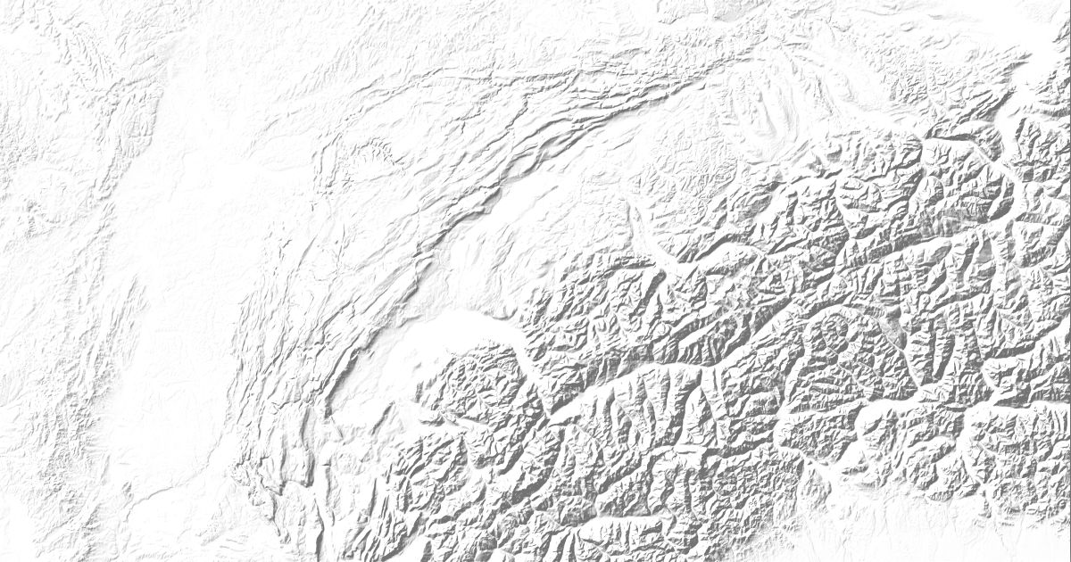
Map of 26 places in Jura Mountains: 12 peaks, 6 lakes, 6 passes and 2 canyons, each with a 3D terrain model, contours and an elevation profile.
- Lake
- Pass
- Peak
- Canyon
Highest Peaks of the Jura Mountains
12 peaks
- Crêt de la Neige
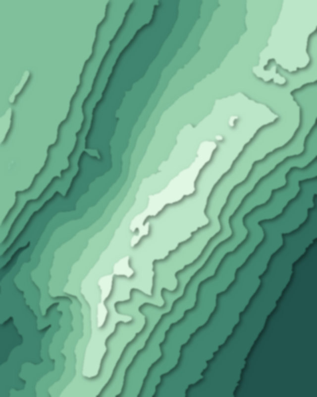
- Mont Tendre
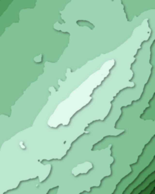
- La Dôle
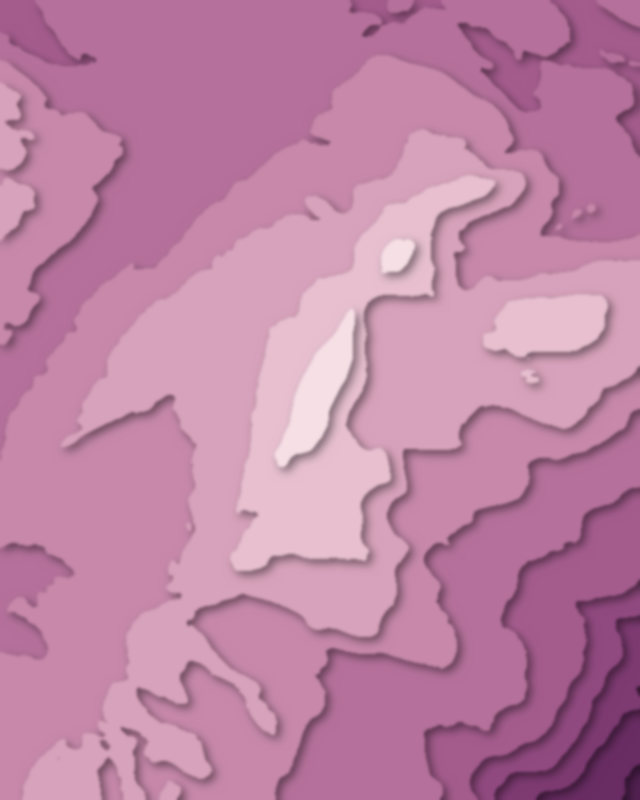
- Chasseral
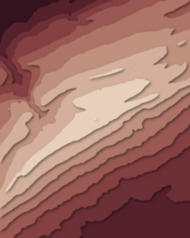
- Le Chasseron
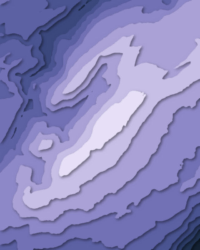
- Aiguilles de Baulmes
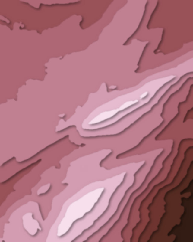
- Grand Colombier
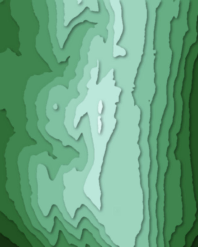
- La Barillette
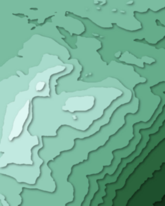
| # | Peak | Elevation | Prominence | Region |
|---|---|---|---|---|
| 9 | Dent de Vaulion | 1,483 m | 333 m | Canton of Vaud, Switzerland |
| 10 | Hasenmatt | 1,445 m | 595 m | Canton of Solothurn, Switzerland |
| 11 | Hinteri Egg | 1,169 m | 154 m | Canton of Basel-Landschaft, Switzerland |
| 12 | Lägern | 866 m | 426 m | Canton of Aargau, Switzerland |
Lakes
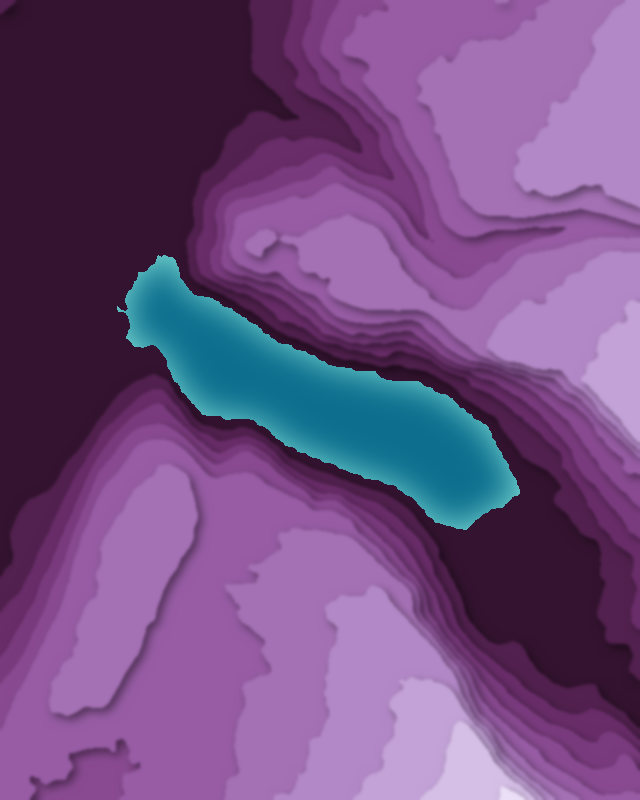
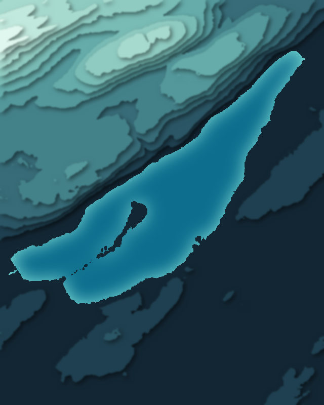
6 lakes
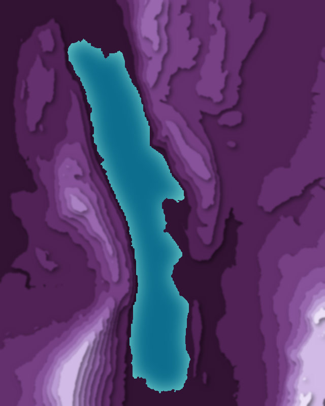
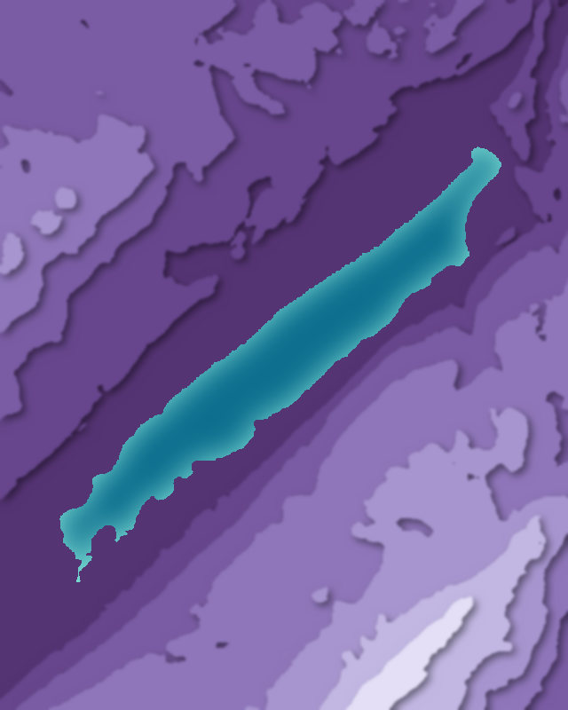
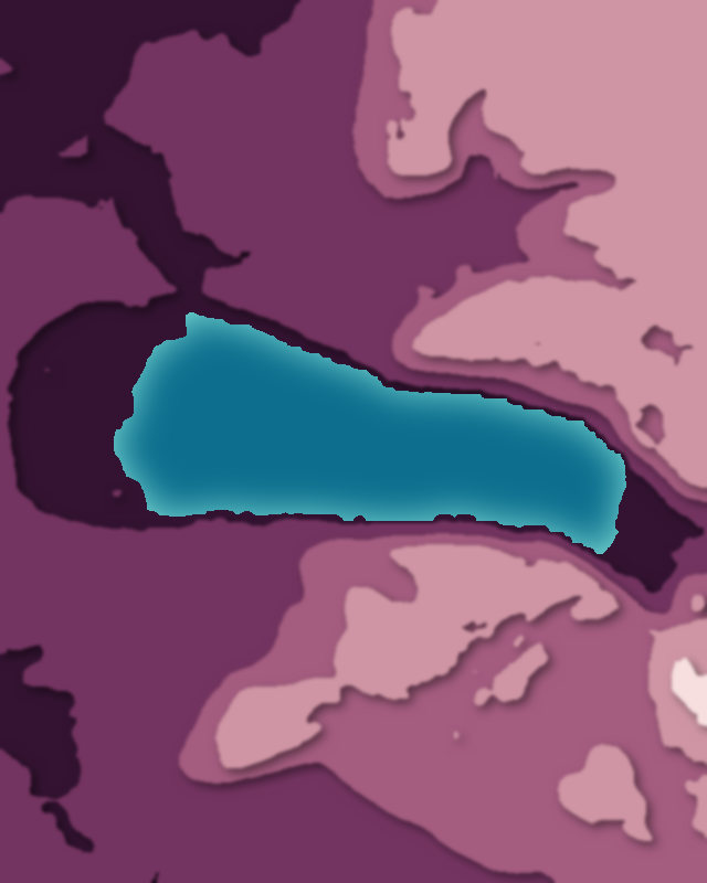
Passes
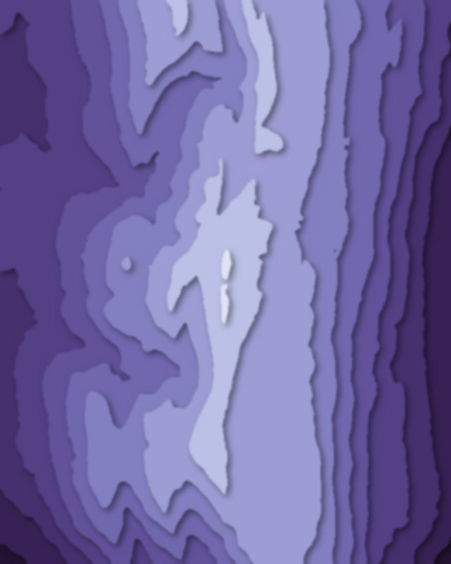
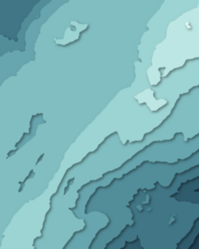
6 passes
Canyons
2 canyons