Mountains
Historic Sanctuary of Machu Picchu Map: Peaks, Passes and Camping
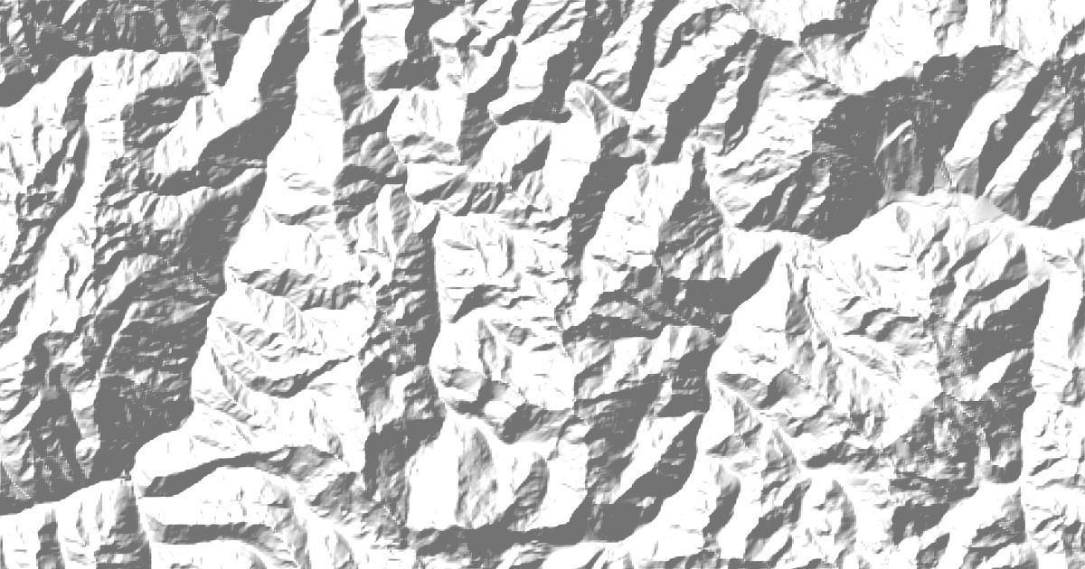
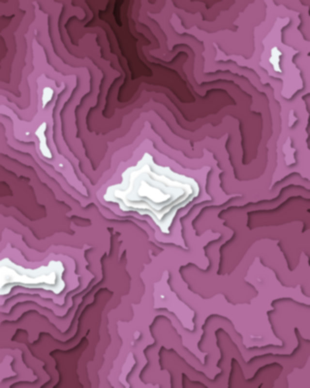
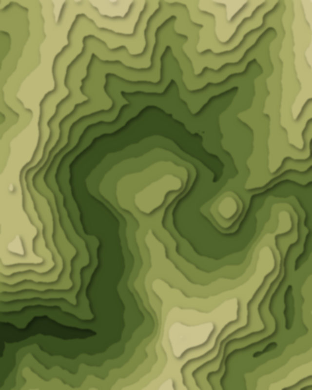
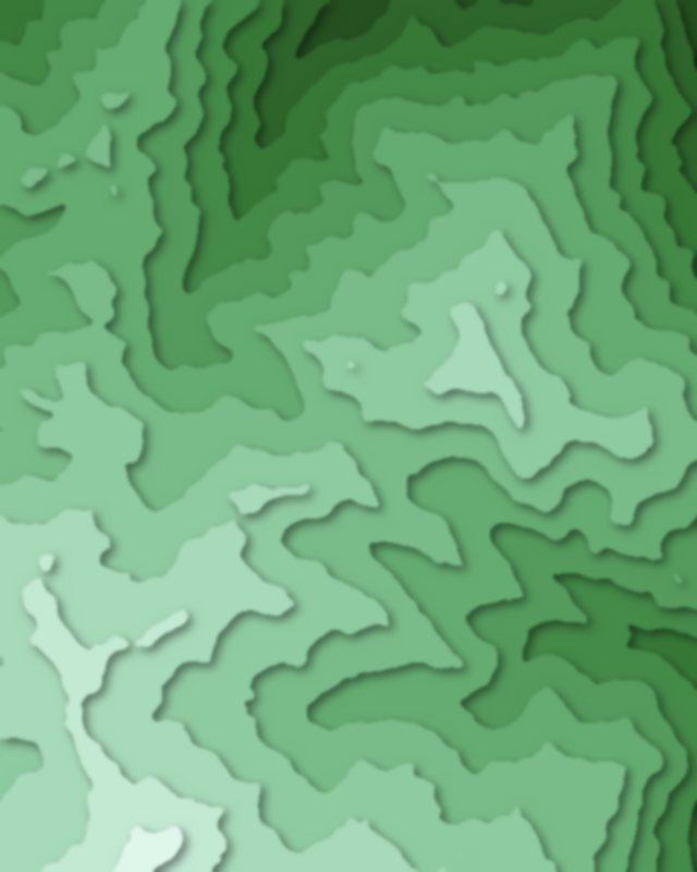
Map of 3 places in Historic Sanctuary of Machu Picchu: 2 peaks and 1 pass, each with a 3D terrain model, contours and an elevation profile.
- Peak
- Pass
Peaks
2 peaks
Passes
1 pass

Camping and parking in Historic Sanctuary of Machu Picchu
Campsites, huts, car parks and trailheads mapped in OpenStreetMap near the park's places, each under the place it is nearest to, by straight-line distance. Check access, fees and permits locally.
Campsites 6
Wayna Picchu
Mandor Camp
Camping Municipal
Campsite
Palqay Range free camping
More 1
Campsite
Caravan sites 1
Camping Lima Tours
Huts 3
Hut
Salkantay Cabins Machu Picchu
Cabañas Andinas Eco Lodge Mamá Andrea
Parking 3
Parking
Parking
Parking