Fern Ridge Reservoir
- Area
- 30 km²
- Tonight
- 48°FCloudy · Wind 2–7 mph SSW
Fern Ridge Reservoir is a lake at 115 m above sea level in Oregon, United States, 30 km² in area and 8.4 km long.
All facts
- Surface elevation
- 115 m
- Length
- 8.4 km
- Shoreline
- 59.2 km
Fern Ridge Reservoir in numbers
Shoreline from OpenStreetMap.
- Shoreline
- 59.2 km
Fern Ridge Reservoir 3D map
Drag to orbit · click, then scroll to zoom (or Ctrl/⌘ + scroll) · One finger scrolls the page · two fingers orbit and zoom · 10.4 × 10.4 km
Fern Ridge Reservoir terrain and contours
10 m contours from the USGS 3DEP 10 m terrain model. Click two points on the map to draw your own cross-section.Tap two points on the map to draw your own cross-section.
Fern Ridge Reservoir elevation profile
West → east through the centre
Fern Ridge Reservoir weather
Tonight · Cloudy · 48°F (9°C) · 6% chance of precipitation · Wind 2–7 mph SSW
Fern Ridge Reservoir forecast for about 113 m.
- Tonight48°6%2–7 mph SSW
- Thu44°57°4%0–3 mph SSE
- Fri46°60°10%1–5 mph S
- Sat50°63°88%5 mph S
- Sun45°55°48%0–13 mph SSW
- Mon49°57°42%0–3 mph SSW
- Tue50°60°42%1–15 mph S
Forecast data: NOAA National Weather Service, public domain, model run Nov 5, 06:41 UTC.
Camping & parking near Fern Ridge Reservoir
Campsites, parking, trailheads and mountain huts mapped in OpenStreetMap around Fern Ridge Reservoir, nearest first, by straight-line distance. Check access, fees and permits locally.
Nearest parking
2.1 km E
Nearest trailhead
Coyote Creek Nature Trail
All mapped places 5
| Place | Distance |
|---|---|
| Parking | 2.1 km E |
| Parking | 2.2 km SSW |
| Parking | 2.4 km NE |
| Coyote Creek Nature TrailTrailhead | 6.7 km SSE |
| Fern Ridge Trail (West end)Trailhead | 7.7 km ESE |
Slope
Share of the 10.4 × 10.4 km view by steepness, from the 10 m model.
Mostly gentle: 99% of the view is under 15°.
- Steeper than 30°
- 0.0% of the 108 km² view
- Relief in view
- 175 m low point 101 m
Land cover
ESA WorldCover 10 m classification of the same area.
Snow & ice means glaciers and year-round snow (a yearly average), not today’s snow cover.
Nearby summits
Named peaks within 5.2 km of Fern Ridge Reservoir.
Summit list 3
- 1Fisher Butte137 m 4.5 km SE
- 2Fir Butte175 m 4.8 km ESE
- 3Richardson Butte190 m 5.0 km NNW
Wildlife seen nearby
Sightings of the most-seen species on iNaturalist (research grade) within 5.2 km; 1,203 species recorded in all.
Sightings per species 6
- Red-winged Blackbird184
- American White Pelican140
- Great Blue Heron134
- Northern Harrier132
- Greater Yellowlegs112
- Black Tern110
Where Fern Ridge Reservoir sits
- Region
- Oregon61United States1,214North America1,796
Nearby places
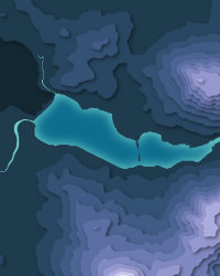
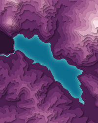
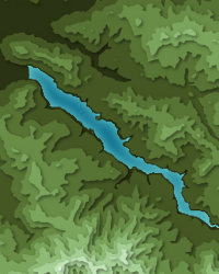
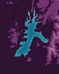
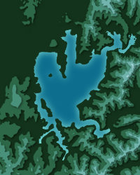
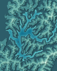
Fern Ridge Reservoir downloads: topographic map, heightmap, STL 3D model and DEM
Free files made in your browser from this page's terrain data. No sign-up; credit the sources below.
3D printing & 3D apps
GIS & GPS
Free to use with credit: see the data sources
Data sources
- Terrain
- U.S. Geological Survey, 3D Elevation Program (public domain)
- Imagery
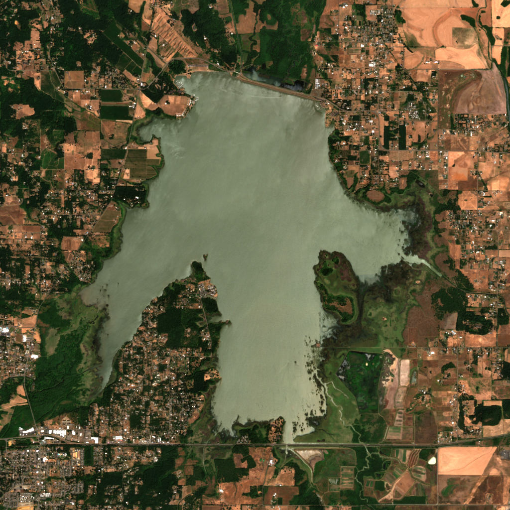
- Contains modified Copernicus Sentinel data 2026 (scene 2026-07-18)
- Land cover
- © ESA WorldCover project 2021 / Contains modified Copernicus Sentinel data (2021) processed by ESA WorldCover consortium
- Facts
- Wikidata (CC0)
- Camping & parking, Geometry
- © OpenStreetMap contributors (ODbL)
- Summits
- © OpenStreetMap contributors, via Overture Maps Foundation (ODbL)
- Wildlife
- iNaturalist community observations, counts only
- Panorama
- Includes Copernicus WorldDEM-90 © DLR e.V. 2010-2014 and © Airbus Defence and Space GmbH 2014-2018 provided under COPERNICUS by the European Union and ESA; all rights reserved. The European Union, ESA, DLR and Airbus incur no liability for any use of this data and do not endorse this service.
- Forecast
- Weather forecast from NOAA National Weather Service (public domain)