Dorena Reservoir
- Area
- 6.59 km²
- Tonight
- 44°FLight rain · Wind 0–3 mph ESE
Dorena Reservoir is a lake at 255 m above sea level in Oregon, United States, 6.59 km² in area and 6.2 km long.
All facts
- Surface elevation
- 255 m
- Length
- 6.2 km
- Shoreline
- 18.2 km
Dorena Reservoir in numbers
Shoreline from OpenStreetMap.
- Shoreline
- 18.2 km≈4½ h to walk around
Dorena Reservoir 3D map
Drag to orbit · click, then scroll to zoom (or Ctrl/⌘ + scroll) · One finger scrolls the page · two fingers orbit and zoom · 8.2 × 8.2 km
Dorena Reservoir terrain and contours
20 m contours from the USGS 3DEP 10 m terrain model. Click two points on the map to draw your own cross-section.Tap two points on the map to draw your own cross-section.
Dorena Reservoir elevation profile
West → east through the centre
Dorena Reservoir weather
Tonight · Light rain · 44°F (7°C) · 24% chance of precipitation · Wind 0–3 mph ESE
Dorena Reservoir forecast for about 253 m.
- Tonight44°24%0–3 mph ESE
- Thu39°62°3%1 mph NNE
- Fri41°65°4%2 mph S
- Sat45°70°77%2 mph SSW
- Sun42°59°77%0–3 mph SSW
- Mon43°62°21%2 mph SW
- Tue44°65°27%1–5 mph S
Forecast data: NOAA National Weather Service, public domain, model run Nov 5, 05:41 UTC.
Camping & parking near Dorena Reservoir
Campsites, parking, trailheads and mountain huts mapped in OpenStreetMap around Dorena Reservoir, nearest first, by straight-line distance. Check access, fees and permits locally.
Nearest trailhead
Dorena Dam Trailhead
Nearest parking
0.3 km NNE
Nearest campsite
Schwarz Campground
Nearest caravan site
Baker Bay County Park
All mapped places 10
| Place | Distance |
|---|---|
| Dorena Dam TrailheadTrailhead | 0.3 km NNE |
| Parking | 0.3 km NNE |
| Parking | 0.5 km W |
| Schwarz CampgroundCampsite | 0.7 km W |
| Row Point TrailheadTrailhead | 0.9 km ENE |
| Parking | 0.9 km WSW |
| Baker Bay County ParkCaravan site | 2.2 km SE |
| Harms Park TrailheadTrailhead | 2.6 km ESE |
| Masonic RV ParkCaravan site | 5.8 km W |
| Village Green RV ParkCaravan site | 7.2 km WNW |
Slope
Share of the 8.2 × 8.2 km view by steepness, from the 10 m model.
Mostly gentle: 64% of the view is under 15°.
- Steeper than 30°
- 3.5% of the 67 km² view
- Relief in view
- 570 m low point 215 m
Land cover
ESA WorldCover 10 m classification of the same area.
Snow & ice means glaciers and year-round snow (a yearly average), not today’s snow cover.
Wildlife seen nearby
Sightings of the most-seen species on iNaturalist (research grade) within 4.1 km; 519 species recorded in all.
Sightings per species 6
- Tolmie's pussy ears18
- Oregon iris18
- California poppy17
- Broad-leaved sweet pea17
- Gopher Snake15
- Wild carrot11
Where Dorena Reservoir sits
- Region
- Oregon61United States1,214North America1,796
Nearby places
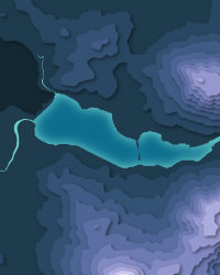
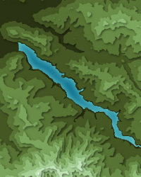
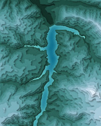
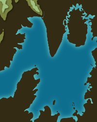
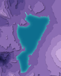
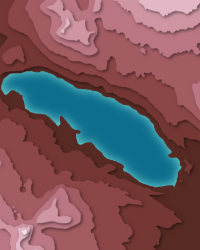
Dorena Reservoir downloads: topographic map, heightmap, STL 3D model and DEM
Free files made in your browser from this page's terrain data. No sign-up; credit the sources below.
Print & wall
3D printing & 3D apps
GIS & GPS
Free to use with credit: see the data sources
Data sources
- Terrain
- U.S. Geological Survey, 3D Elevation Program (public domain)
- Imagery
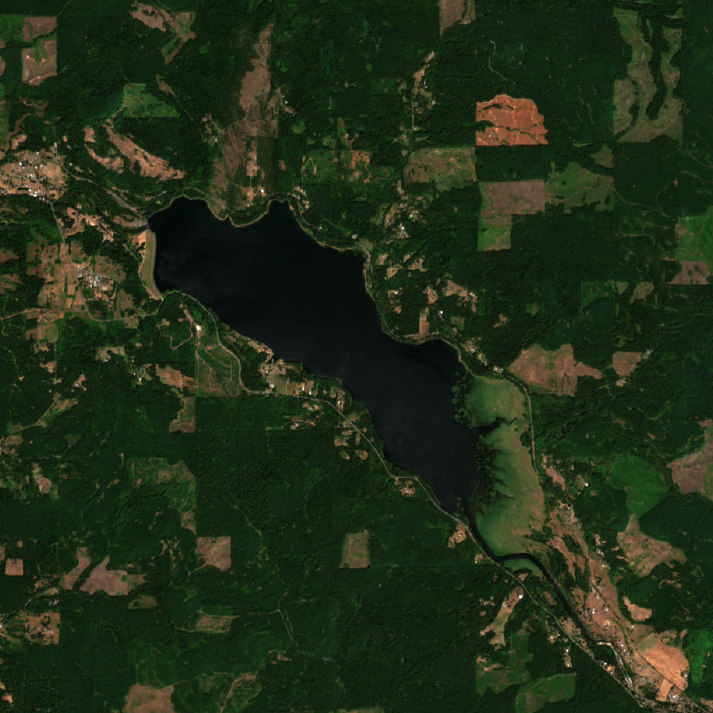
- Contains modified Copernicus Sentinel data 2026 (scene 2026-07-27)
- Land cover
- © ESA WorldCover project 2021 / Contains modified Copernicus Sentinel data (2021) processed by ESA WorldCover consortium
- Facts
- Wikidata (CC0)
- Camping & parking, Geometry
- © OpenStreetMap contributors (ODbL)
- Summits
- © OpenStreetMap contributors, via Overture Maps Foundation (ODbL)
- Wildlife
- iNaturalist community observations, counts only
- Panorama
- Includes Copernicus WorldDEM-90 © DLR e.V. 2010-2014 and © Airbus Defence and Space GmbH 2014-2018 provided under COPERNICUS by the European Union and ESA; all rights reserved. The European Union, ESA, DLR and Airbus incur no liability for any use of this data and do not endorse this service.
- Forecast
- Weather forecast from NOAA National Weather Service (public domain)