Also on the map ofJura Mountains

Col des Etroits
- Connects
- Vers-chez-la-Besse – Noirvaux-Dessus
- Tonight
- 1°CSleet · Wind 20 km/h SW
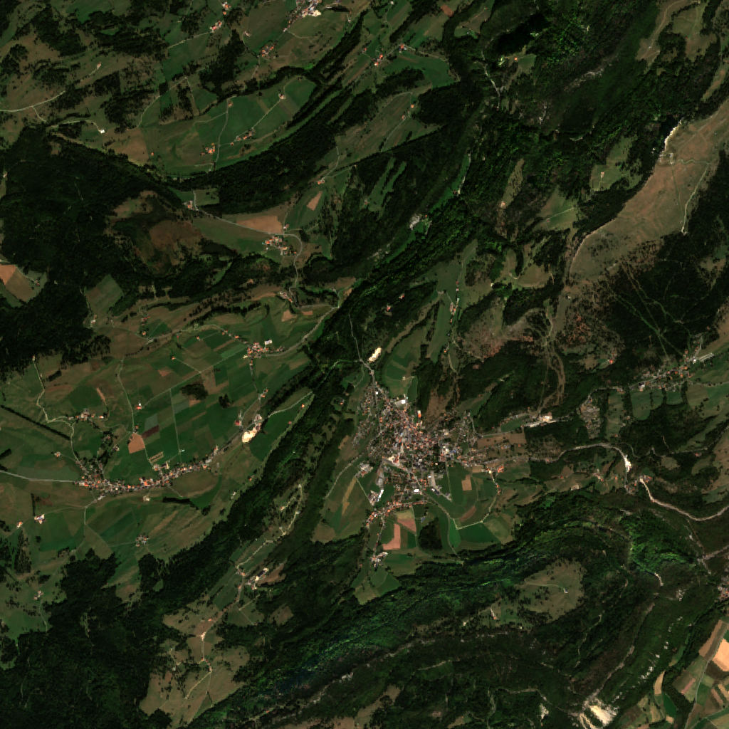
Col des Etroits is a mountain pass at 1,153 m in Canton of Vaud, Switzerland. It links Vers-chez-la-Besse and Noirvaux-Dessus.
All facts
- Saddle
- 1,153 m
- Lowest point
- 948 m / 1,024 m
Col des Etroits: the climb from each side
Crossed by: 151, 151 Avenue de Neuchâtel
Distances are straight lines from the saddle to the lowest ground on each side; the road is longer.
Col des Etroits 3D map
Drag to orbit · click, then scroll to zoom (or Ctrl/⌘ + scroll) · One finger scrolls the page · two fingers orbit and zoom · 8 × 8 km
Col des Etroits terrain and contours
50 m contours from the Copernicus GLO-30 terrain model. Click two points on the map to draw your own cross-section.Tap two points on the map to draw your own cross-section.
Col des Etroits elevation profile
West → east through the centre
Col des Etroits weather
Tonight · Sleet · 1°C (34°F) · 7.0 mm · Wind 20 km/h SW
Col des Etroits forecast for about 1,153 m.
- Tonight1°7.0 mm20 km/h SW
- Mon-2°2°3.4 mm18 km/h SW
- Tue-1°2°8.5 mm16 km/h E
- Wed-2°1°10.2 mm16 km/h E
- Thu-2°1°1.4 mm7 km/h W
- Fri-4°-2°0.4 mm9 km/h E
- Sat-5°-3°–8 km/h E
- Sun-5°-2°0.1 mm6 km/h E
- Mon-2°1°0.1 mm3 km/h E
- Tue-2°1°0.1 mm4 km/h SE
Forecast data: MET Norway, CC BY 4.0; daily low and high, precipitation total and strongest wind from the hourly data, model run Nov 22, 19:17 UTC.
Camping & parking near Col des Etroits
Campsites, parking, trailheads and mountain huts mapped in OpenStreetMap around Col des Etroits, nearest first, by straight-line distance. Check access, fees and permits locally.
Nearest parking
0.1 km SE
Nearest caravan site
Stellplatz L'Auberson
Nearest trailhead
Gorges de la Covatannaz
Nearest hut
Refuge de la gare d'Olten
Nearest campsite
3.6 km NNW
All mapped places 13
| Place | Distance |
|---|---|
| Parking | 0.1 km SE |
| Parking | 0.6 km SE |
| Parking | 0.6 km SE |
| Stellplatz L'AubersonCaravan site | 2.0 km WSW |
| Gorges de la CovatannazTrailhead | 2.0 km SSE |
| Refuge de la gare d'OltenHut | 3.6 km W |
| Campsite | 3.6 km NNW |
| Camping des CludsCampsite | 5.0 km ENE |
| Stellplatz Les Cluds-BulletCaravan site | 5.1 km ENE |
| Aire d'accueil - La CoupeCaravan site | 5.3 km W |
| Hut | 5.6 km S |
| Les IllarsHut | 6.1 km ENE |
| Camping du Bois de FeyCampsite | 6.1 km ESE |
Slope
Share of the 8 × 8 km view by steepness, from the 30 m model.
Mostly gentle: 60% of the view is under 15°.
- Steeper than 30°
- 12.7% of the 64 km² view
- Relief in view
- 1,017 m low point 582 m
Land cover
ESA WorldCover 10 m classification of the same area.
Snow & ice means glaciers and year-round snow (a yearly average), not today’s snow cover.
Nearby summits
Named peaks within 4 km of Col des Etroits.
Summit list 7
- 1La Broutire1,264 m 0.8 km NE
- 2Mont Buclard1,143 m 1.2 km NNW
- 3Le Praisot1,389 m 1.7 km NE
- 4Le Cochet1,483 m 1.7 km ENE
- 5Mont des Cerf1,273 m 2.1 km SSW
- 6Mont de la Maya1,466 m 2.7 km NE
- 7Petites Roches1,583 m 2.9 km ENE
Where Col des Etroits sits
- Range
- Jura Mountains56
- Region
- Canton of Vaud24Switzerland551Europe3,463
Nearby places
 Le ChasseronPeak · 1,607 m↑4.1 km NE
 Aiguilles de BaulmesPeak · 1,559 m↑4.6 km SSW
 Lac de Saint-PointLake · 850 m↑14 km W
 Mont d'OrPeak · 1,463 m↑15 km SW
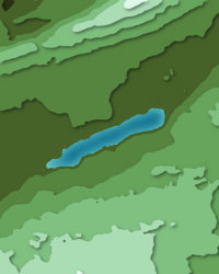 Lac des TaillèresLake · 1,040 m↑16 km NNE
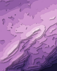
More in the Jura Mountains 6
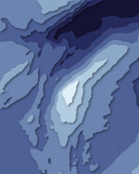
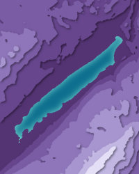
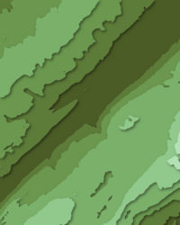
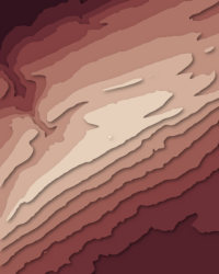
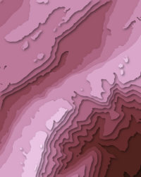
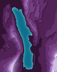
Col des Etroits downloads: topographic map, heightmap, STL 3D model and DEM
Free files made in your browser from this page's terrain data. No sign-up; credit the sources below.
Print & wall
3D printing & 3D apps
GIS & GPS
Free to use with credit: see the data sources
Data sources
- Terrain
- Produced using Copernicus WorldDEM-30 © DLR e.V. 2010-2014 and © Airbus Defence and Space GmbH 2014-2018 provided under COPERNICUS by the European Union and ESA; all rights reserved. The European Union, ESA, DLR and Airbus incur no liability for any use of this data and do not endorse this service.
- Imagery
- Contains modified Copernicus Sentinel data 2026 (scene 2026-09-23)
- Land cover
- © ESA WorldCover project 2021 / Contains modified Copernicus Sentinel data (2021) processed by ESA WorldCover consortium
- Facts
- Wikidata (CC0)
- Camping & parking, Geometry
- © OpenStreetMap contributors (ODbL)
- Summits
- © OpenStreetMap contributors, via Overture Maps Foundation (ODbL)
- Forecast
- Weather forecast from MET Norway (CC BY 4.0)