Yosemite National Park Map: Lakes, Peaks and Camping
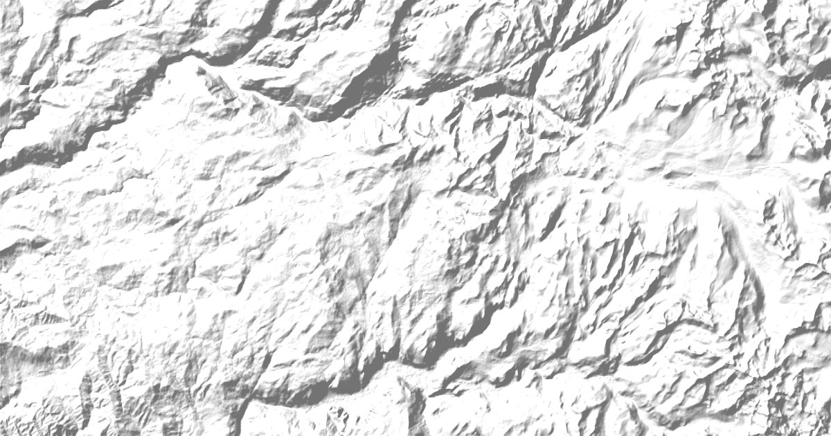
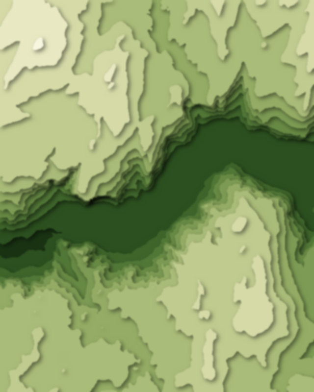
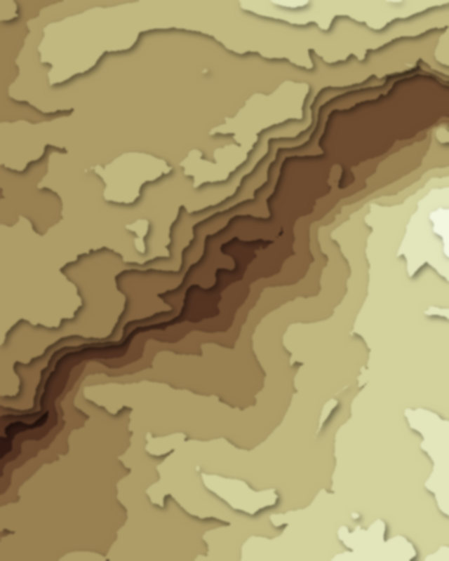
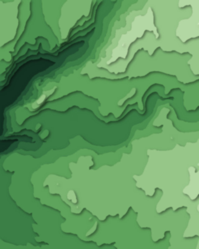
Map of 10 places in Yosemite National Park: 4 canyons, 3 lakes, 1 glacier, 1 pass and 1 peak, each with a 3D terrain model, contours and an elevation profile.
- Canyon
- Pass
- Peak
- Lake
- Glacier
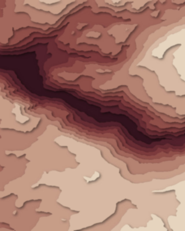
Canyons
4 canyons
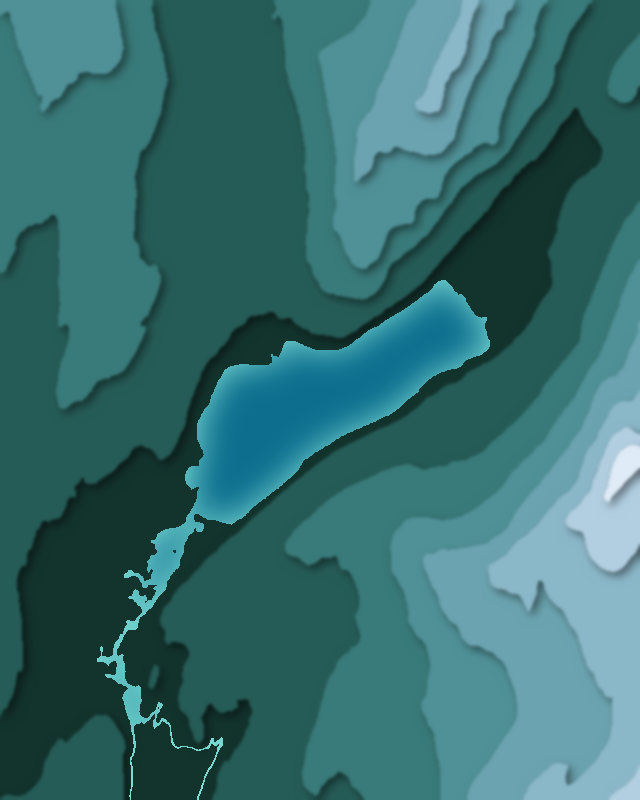
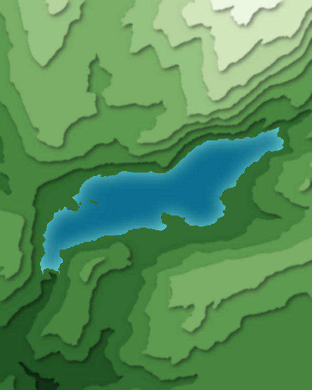
Lakes
3 lakes
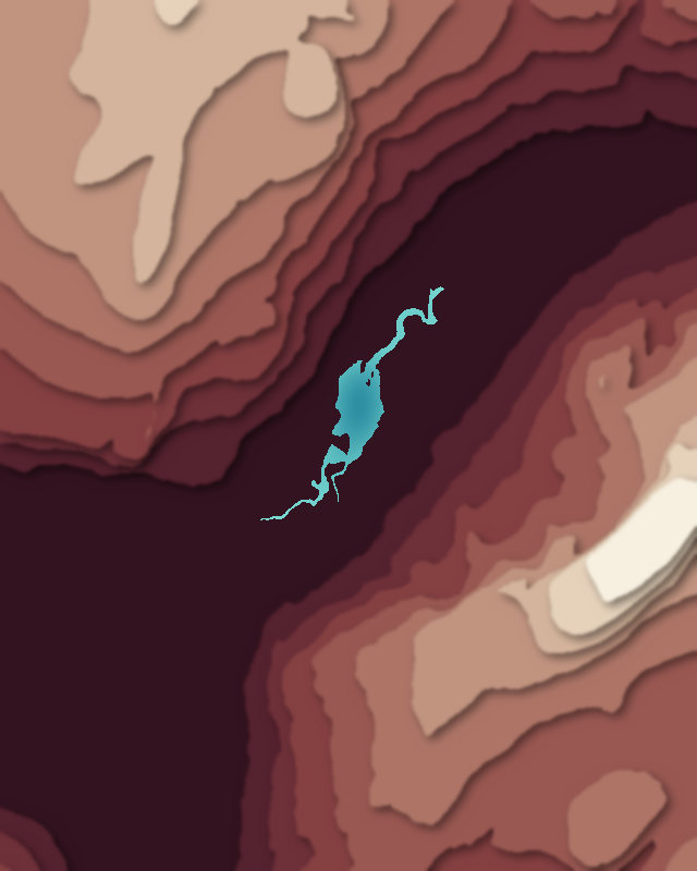
Glaciers
1 glacier
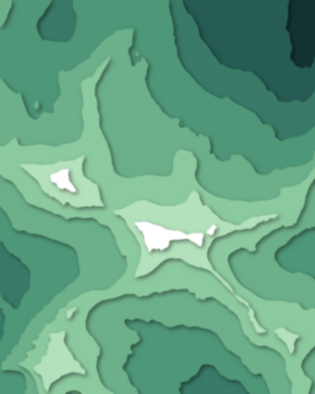
Passes
1 pass
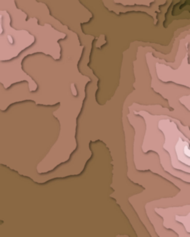
Peaks
1 peak
Camping and parking in Yosemite National Park
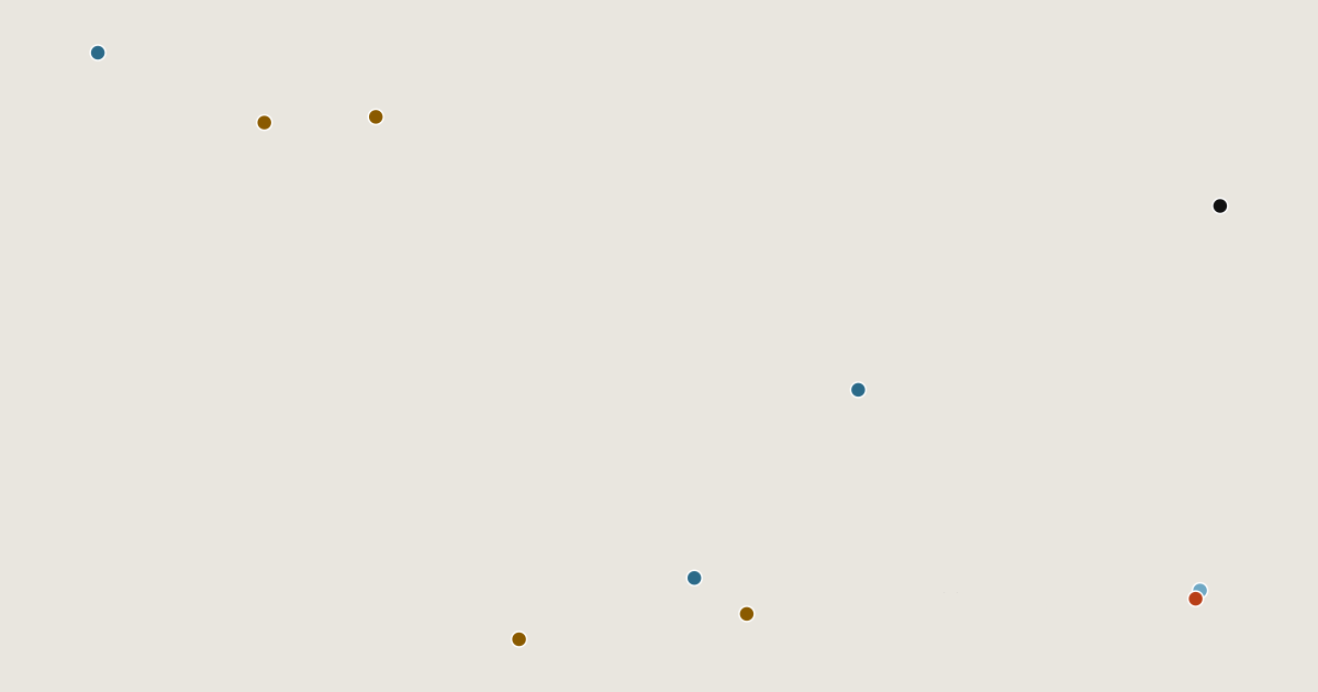
Campsites, huts, car parks and trailheads mapped in OpenStreetMap near the park's places, each under the place it is nearest to, by straight-line distance. Check access, fees and permits locally.
Campsites 17
Hetch Hetchy Backpackers Campground
Little Yosemite Valley Campground
Lake Eleanor Campground
Campsite
Yosemite Valley Backpackers Campground
More 12
Tioga Lake Campground
Upper Pines Campground
Curry Village
Junction Campground
Ellery Campground
May Lake High Sierra Camp
Campsite
Cherry Valley Campground
Campsite
Camp 4
Sunrise High Sierra Camp
Doc Moyle's Camp
Huts 1
Lounge
Parking 19
Parking
Parking
Parking
Parking
Parking
More 14
Parking
Parking
Parking
Parking
Parking
Parking
Parking
Parking
Parking
Parking
Parking
Valley Trailhead Parking
Ahwahnee parking
Half Dome Village Registration Parking
Trailheads 16
Mount Dana Trailhead
Gaylor Lakes Trailhead
Rockslides Trailhead
Murphy Creek Trailhead
Bridalveil Falls Trailhead
More 11
Glacier Canyon Trailhead
Sunrise Lakes Trailhead
Mirror Lake Trailhead
Lake Eleanor Trailhead
Snow Creek Trailhead
Happy Isles Trailhead
May Lake Trailhead
Smith Peak Trailhead
Pohono Trailhead
Shingle Springs Trailhead
Poopenaut Valley Trailhead