Yellowstone National Park Map: Lakes, Passes and Camping
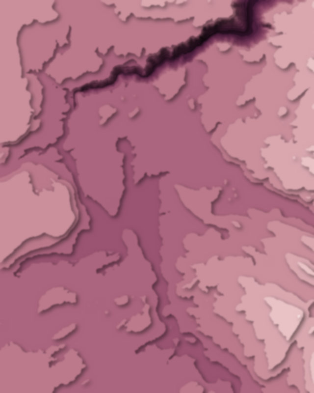
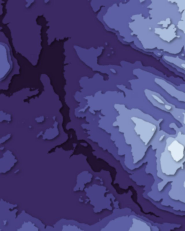
Map of 10 places in Yellowstone National Park: 5 lakes, 3 passes and 2 canyons, each with a 3D terrain model, contours and an elevation profile.
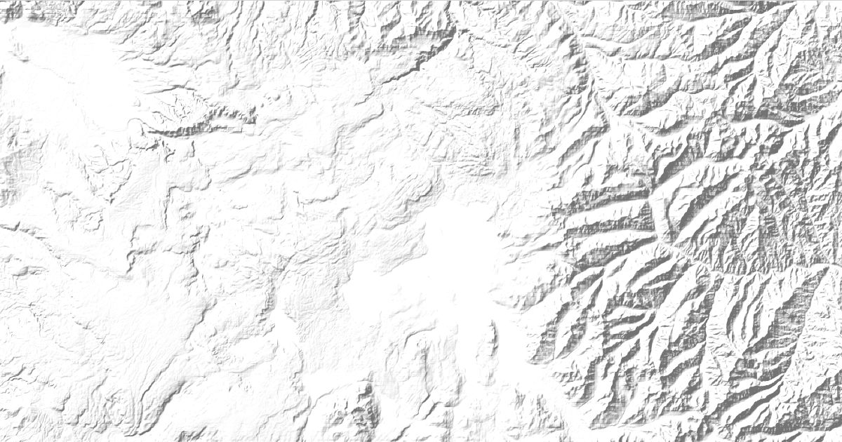
- Canyon
- Lake
- Pass
Lakes
5 lakes
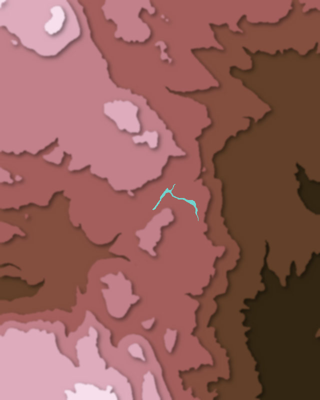
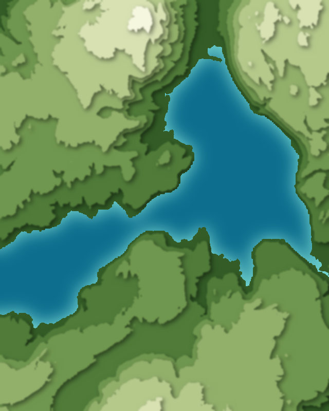
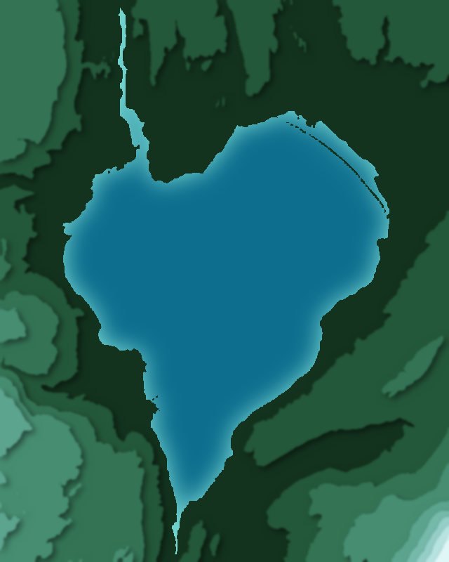
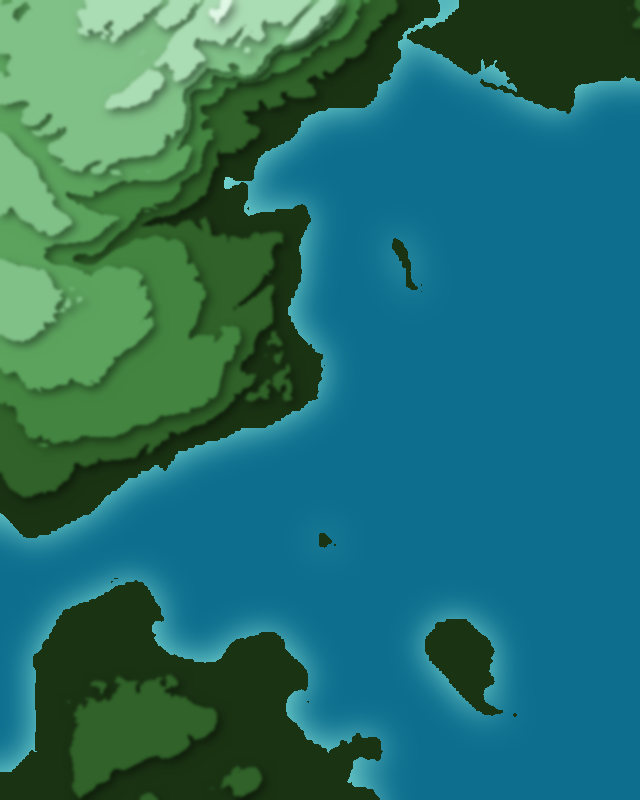
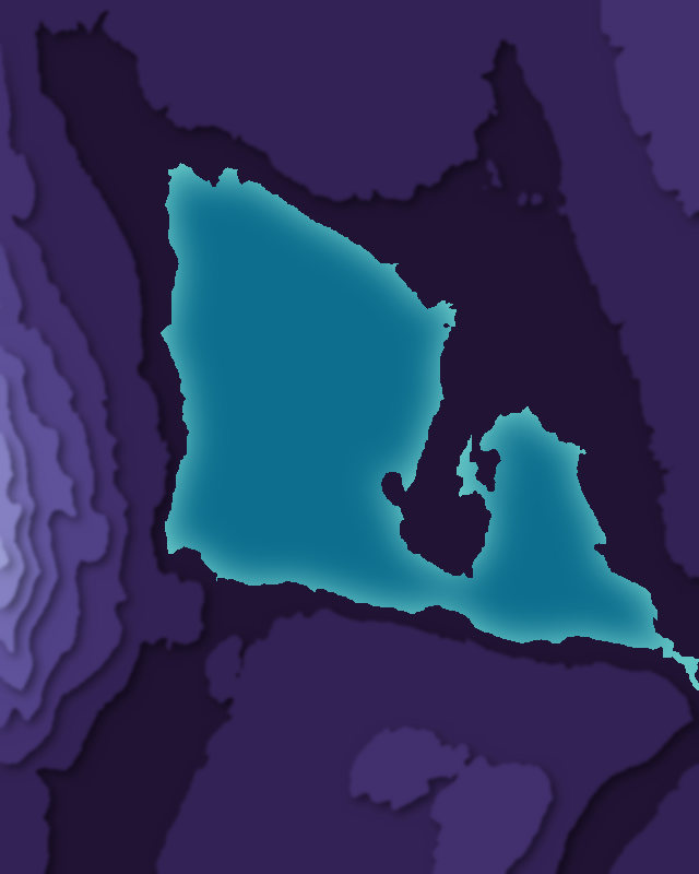
Passes
3 passes
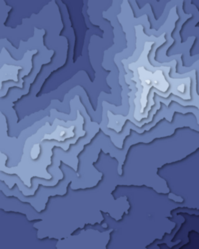
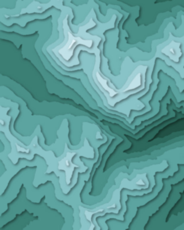
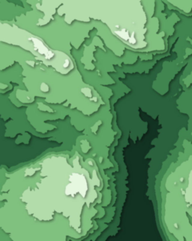
Canyons
2 canyons

Camping and parking in Yellowstone National Park
Campsites, huts, car parks and trailheads mapped in OpenStreetMap near the park's places, each under the place it is nearest to, by straight-line distance. Check access, fees and permits locally.
Campsites 19
S Narrow Point
Sheridan Creek
Hideaway
S Grizzly Beach
S Narrow Beach
More 14
Beaver Creek
Campsite
Yurt Winter Camp
Canyon Campground
Lewis Lake Campground
DeLacy Creek
Coyote
4W1 - Wrangler Lake
Frank Island Bay North
Frank Island Bay South
Mallard Lake SE
Ravine
Outlet (8S1)
Channel
Parking 21
Parking
Parking
Uncle Tom's Parking Area
North Rim
Parking
More 16
Parking
Parking
Parking
Parking
Parking
Parking
Parking
Parking
Parking
Parking
Parking
Parking
Parking
Parking
Parking
Parking
Trailheads 11
Clear Lake Trailhead
Brink of the Lower Falls Trailhead
Wapiti Lake Trailhead
Delacy Creek Trailhead
Avalanche Peak Trailhead
More 6
Spring Creek Trail
Shoshone / Dogshead Trailhead
Mary Mountain Trailhead
Lone Star Trailhead
Phantom / Pitchstone Trailhead
Riddle Lake Trailhead