Mountains
Willamette National Forest Map: Lakes and Camping
Map of 3 places in Willamette National Forest: 3 lakes, each with a 3D terrain model, contours and an elevation profile.
Lakes
3 lakes
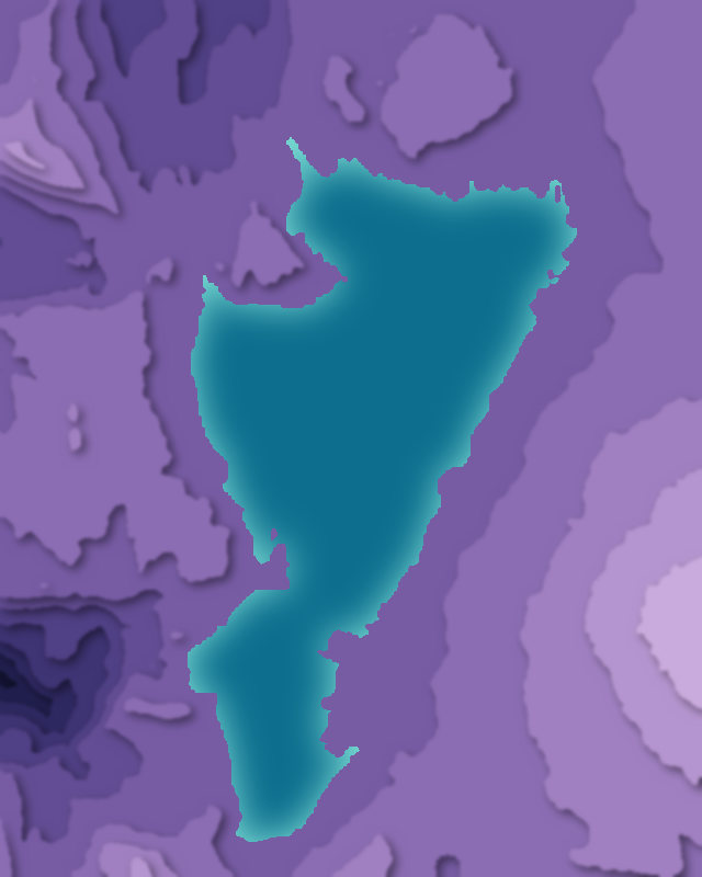
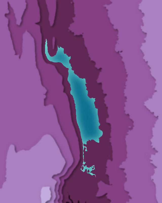
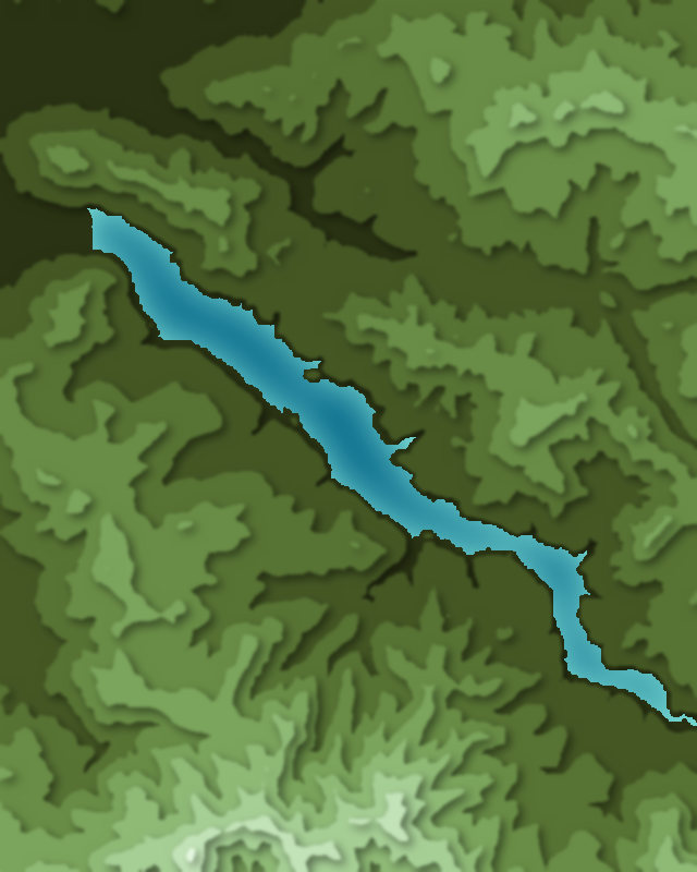

Camping and parking in Willamette National Forest
Campsites, huts, car parks and trailheads mapped in OpenStreetMap near the park's places, each under the place it is nearest to, by straight-line distance. Check access, fees and permits locally.
Campsites 7
Cold Water Cove Campground
Campsite
Ice Cap Creek Campground
Shadow Bay Campground
Campsite
More 2
Ivan Oakes Campground
Willamette National Forest
Caravan sites 1
Dexter Shores RV Park
Parking 9
Parking
Parking
Parking
Swim Parking
Shadow Bay Day Use Area
More 4
Parking
Parking
Parking
Parking
Trailheads 5
Twin Peaks Trailhead
Bobby Lake Trailhead
Betty Lake Trailhead
Eagles Rest Trailhead - Upper
Eagles Rest Trailhead - Lower