Wasatch–Cache National Forest Map: Lakes, Canyons and Camping
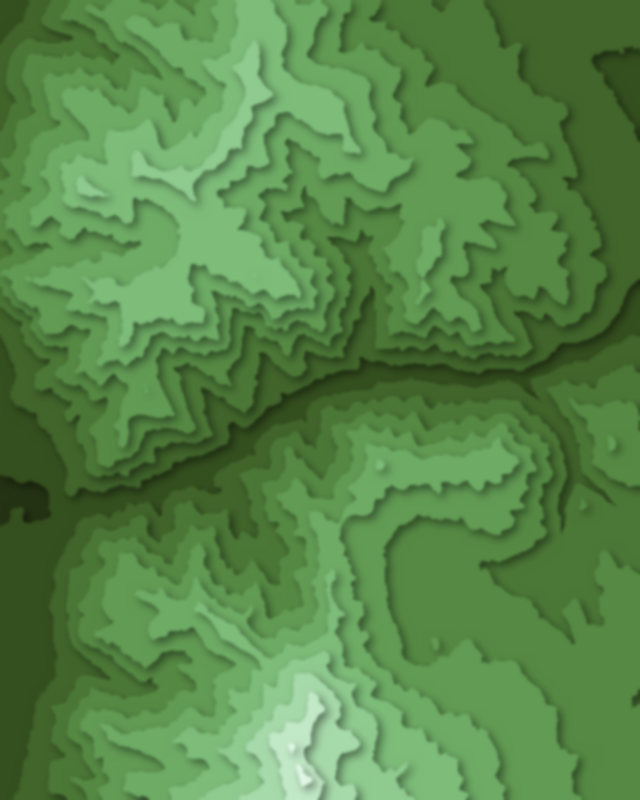
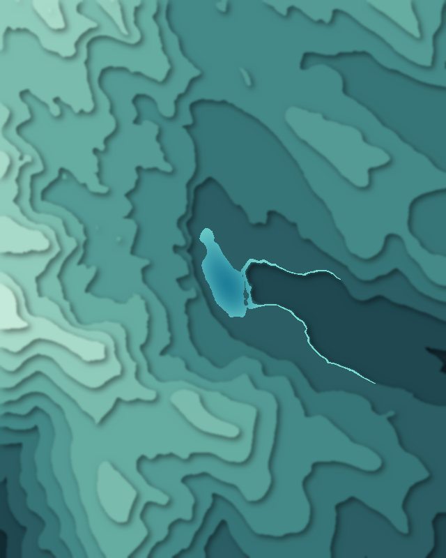
Map of 5 places in Wasatch–Cache National Forest: 4 canyons and 1 lake, each with a 3D terrain model, contours and an elevation profile.
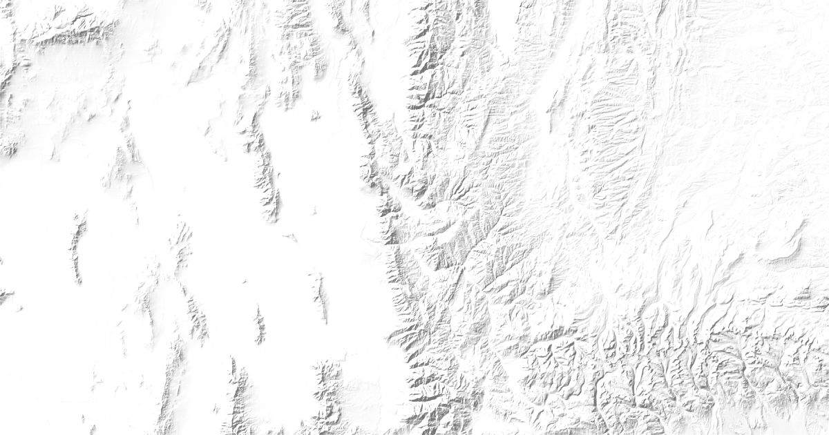
- Canyon
- Lake
Canyons
4 canyons
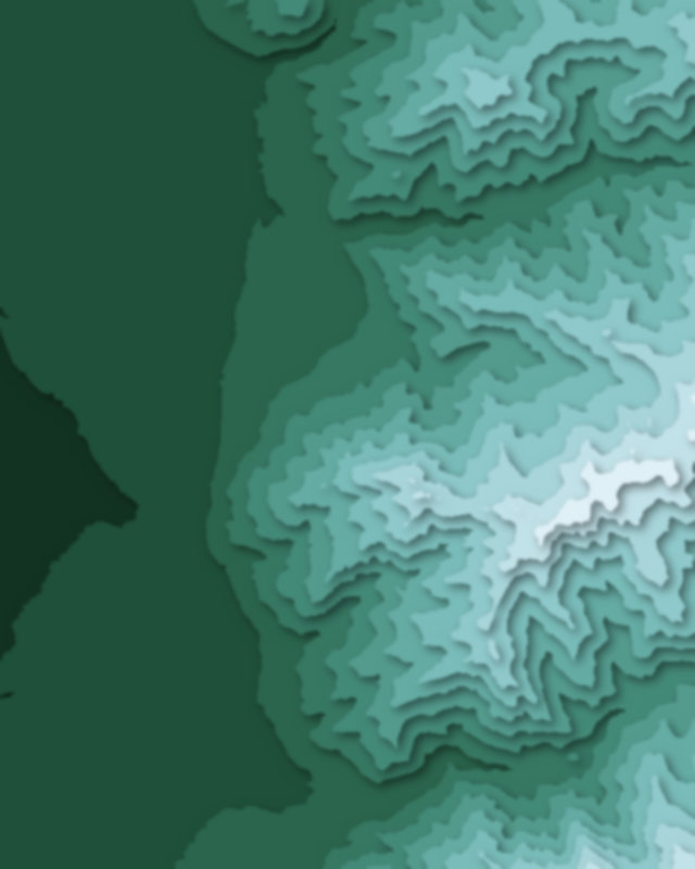
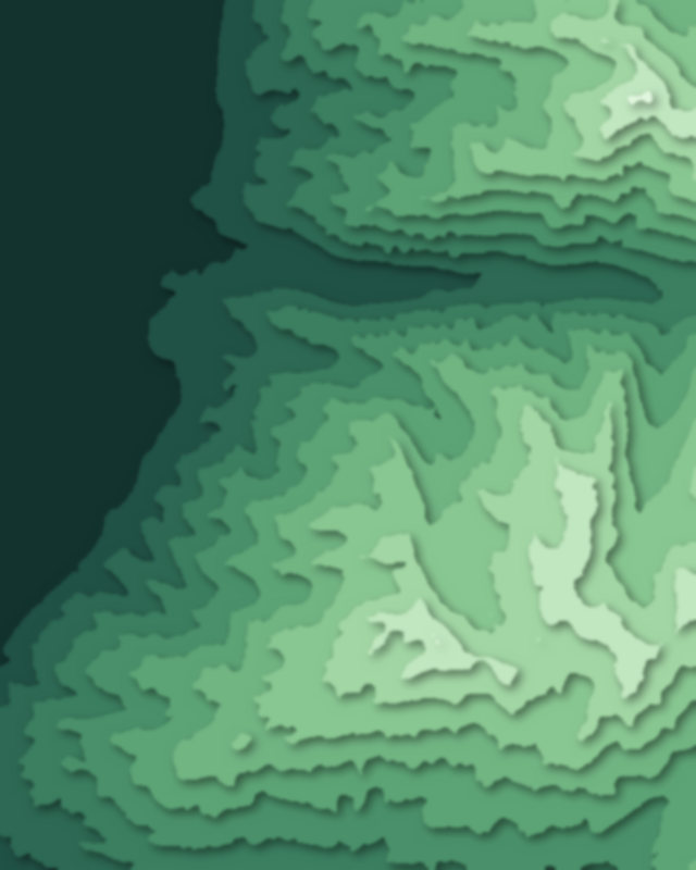
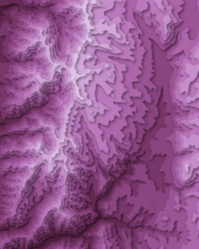
Lakes
1 lake

Camping and parking in Wasatch–Cache National Forest
Campsites, huts, car parks and trailheads mapped in OpenStreetMap near the park's places, each under the place it is nearest to, by straight-line distance. Check access, fees and permits locally.
Campsites 12
Tony Grove Campground
Tanners Flat Campground
Group Site D
Preston Valley Campground
Lodge Campground
More 7
Wood Camp
Campsite
Campsite
Campsite
Campsite
Lewis M Turner Campground
Red Banks Campground
Caravan sites 1
Caravan site
Parking 15
Parking
Parking
Parking
Parking
Parking
More 10
Parking
Parking
Parking
Parking
Parking
Parking
Parking
Parking
Tony Grove Backcountry Lot
Parking
Trailheads 15
Tony Grove Backcountry Trailhead
Rattlesnake Gulch
Neff's Canyon Trailhead
Little Cottonwood Trail
Jardine Juniper Trailhead
More 10
Z Trail Trailhead
White Pine Trailhead
Right Hand Fork Trailhead
Card Canyon Trailhead
Maples Trailhead
Pineview Trailhead
Grit Mill Trailhead
Trailhead
Smithfield Canyon Trailhead
Bunchgrass Trailhead