Mountains
Towada-Hachimantai National Park Map: Lakes, Peaks and Camping
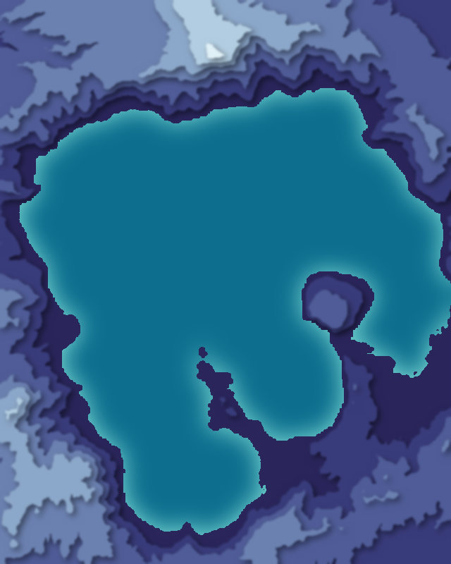
Map of 3 places in Towada-Hachimantai National Park: 2 peaks and 1 lake, each with a 3D terrain model, contours and an elevation profile.
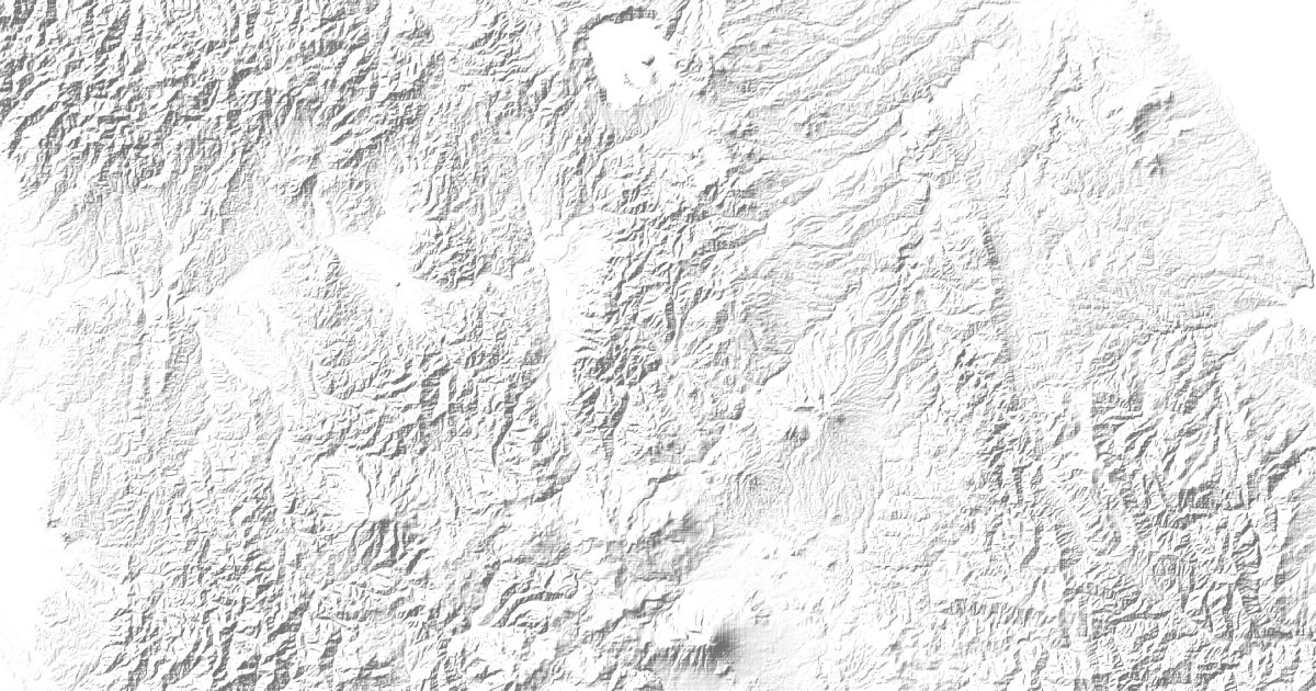
- Lake
- Peak
Peaks
2 peaks
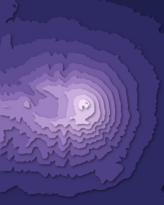
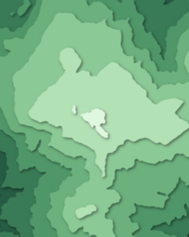
Lakes
1 lake

Camping and parking in Towada-Hachimantai National Park
Campsites, huts, car parks and trailheads mapped in OpenStreetMap near the park's places, each under the place it is nearest to, by straight-line distance. Check access, fees and permits locally.
Campsites 7
滝ノ沢野営場
馬返しキャンプ場
焼走りオートキャンプ場・キャビン村
宇樽部キャンプ場
相の沢キャンプ場
More 2
後生掛キャンプ場
宇樽部キャンプ場
Caravan sites 1
RVパーク岩手山
Parking 9
八幡平山頂P(有料)
八幡平山頂P(無料)
Parking
Parking
Parking
More 4
Parking
第一駐車場
焼走りの湯
Parking
Trailheads 2
Trailhead
Trailhead