Mountains
Tongariro National Park Map: Lakes, Peaks and Camping
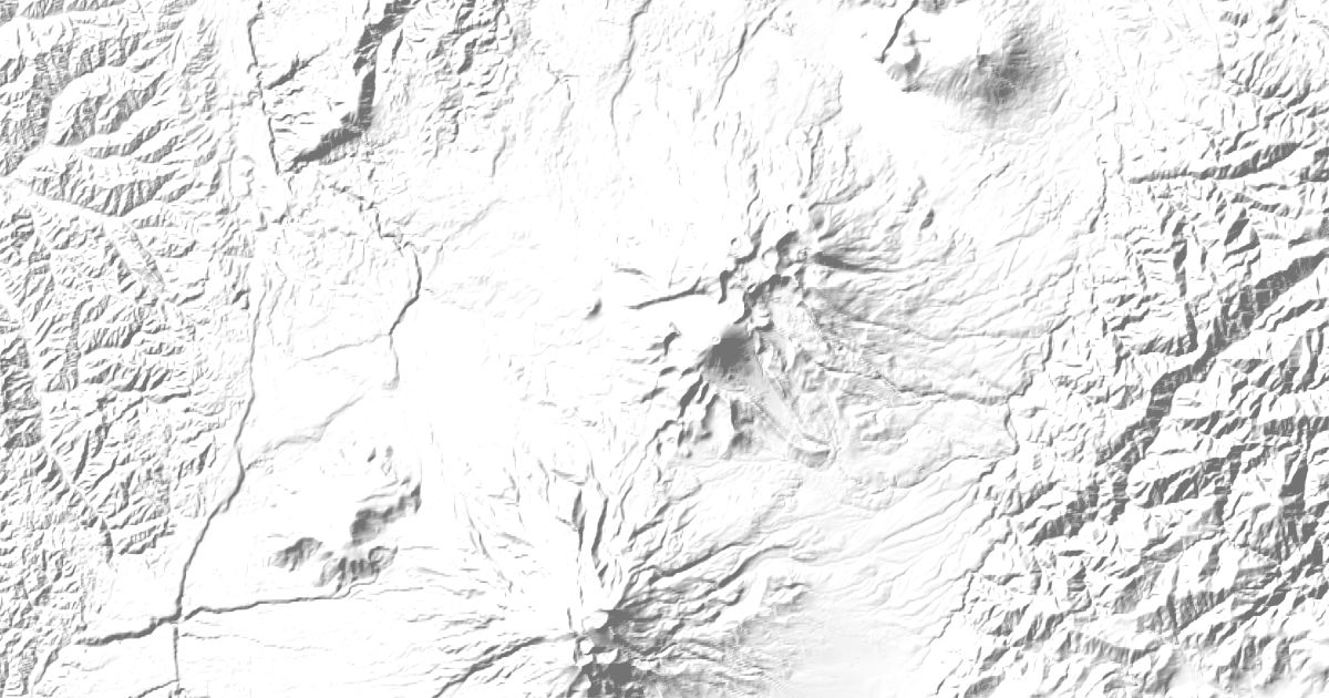
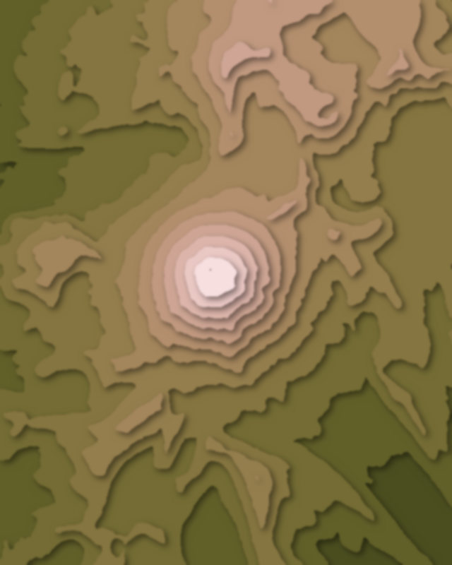
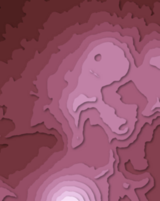
Map of 6 places in Tongariro National Park: 5 peaks and 1 lake, each with a 3D terrain model, contours and an elevation profile.
- Peak
- Lake
Peaks
5 peaks



Lakes
1 lake


Camping and parking in Tongariro National Park
Campsites, huts, car parks and trailheads mapped in OpenStreetMap near the park's places, each under the place it is nearest to, by straight-line distance. Check access, fees and permits locally.
Campsites 2
Campsite
Whaihohonu campsite
Huts 6
Whangaehu Hut
Mangatepopo Hut
Oturere Hut
NZAC Ruapehu Hut
Muat Hut
More 1
Old Waihohonu Hut
Parking 6
Parking
Mangatepopo Carpark
Iwikau Ski Village
Parking
Ketetahi Carpark
More 1
Tongariro Shuttle Car Park