Mountains
Table Mountain National Park Map: Peaks and Camping
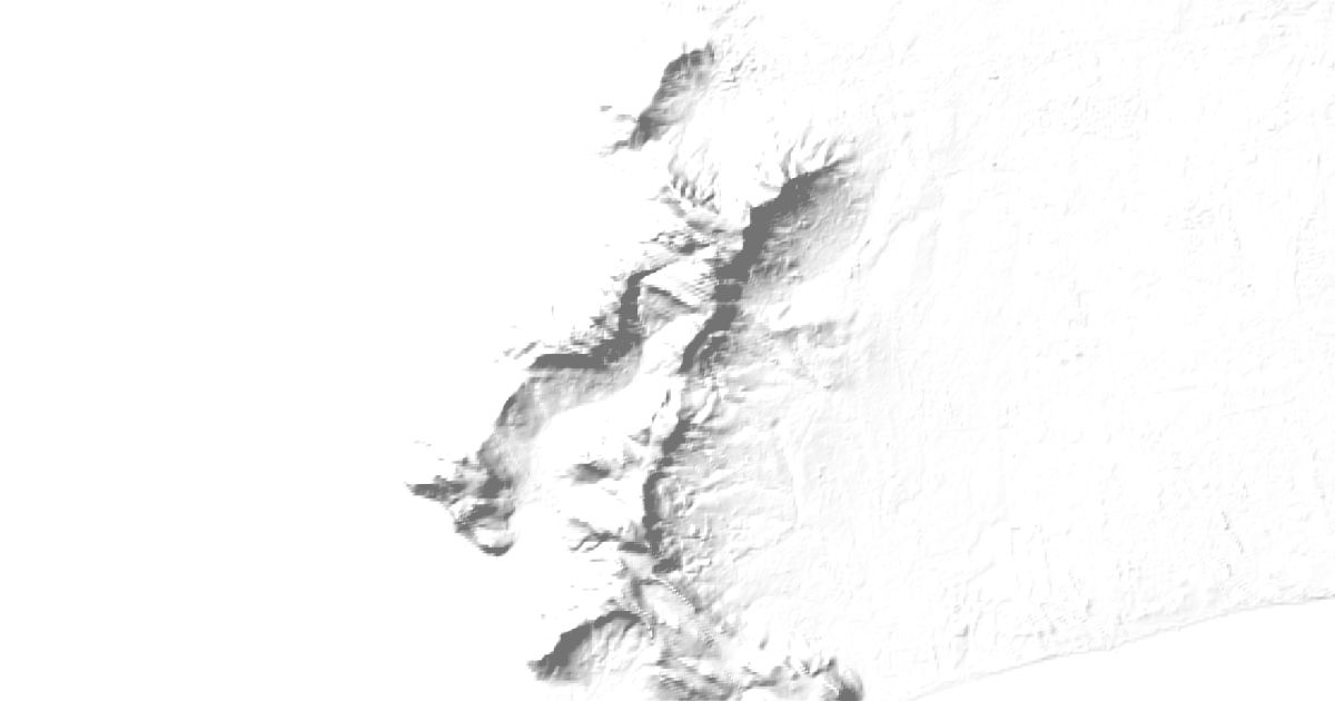
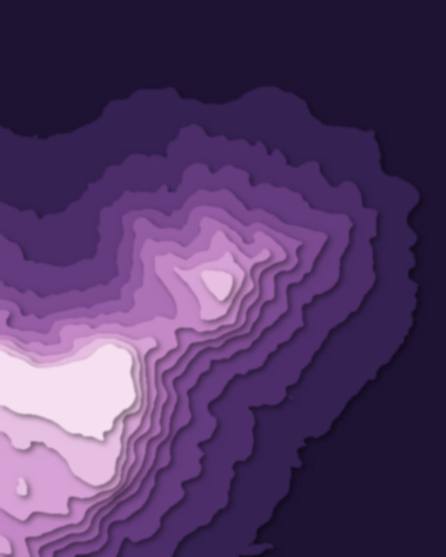
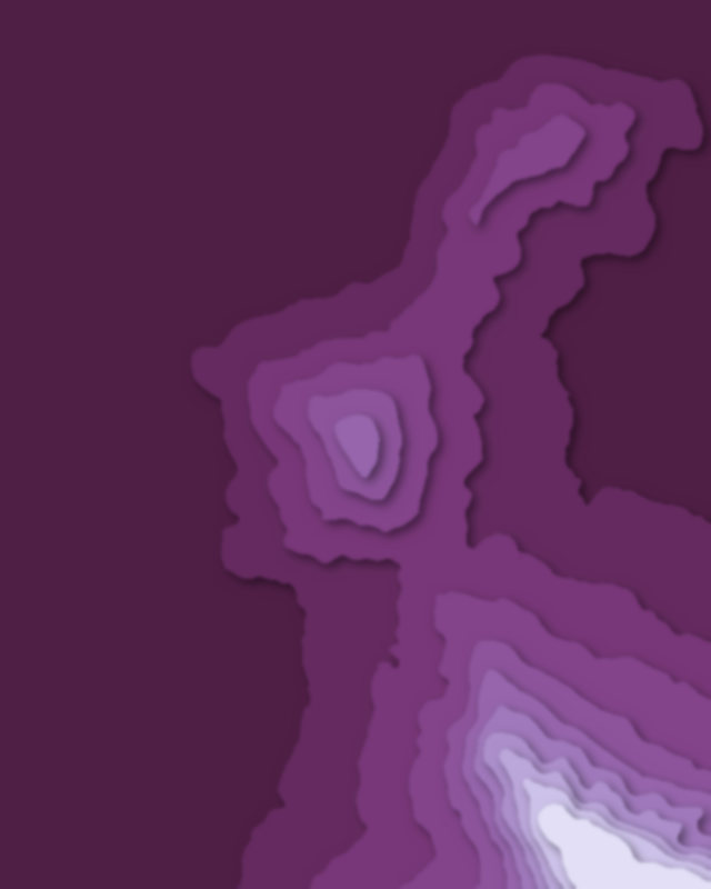
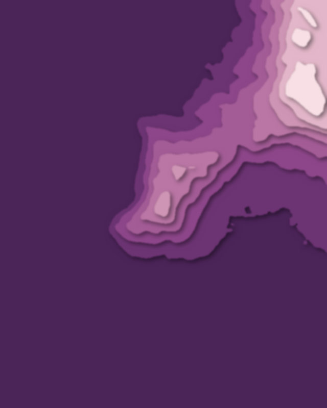
Map of 4 places in Table Mountain National Park: 4 peaks, each with a 3D terrain model, contours and an elevation profile.
Peaks
4 peaks

Camping and parking in Table Mountain National Park
Campsites, huts, car parks and trailheads mapped in OpenStreetMap near the park's places, each under the place it is nearest to, by straight-line distance. Check access, fees and permits locally.
Campsites 4
Chapman's Peak Caravan Park
Old Silvermine tented camp
Kommetjie tented camp
Orange Kloof Tented Camp
Caravan sites 2
Parkhaus
Imhoff Caravan Park
Huts 2
The People's Trail Hut
Overseer's Cottage
Parking 9
Parking
Parking
Lion´s Head
Parking
Parking
More 4
Parking
Parking
Parking
Parking
Trailheads 1
Platteklip Gorge