Mountains
Sibillini Mountains National Park Map: Lakes, Peaks and Camping
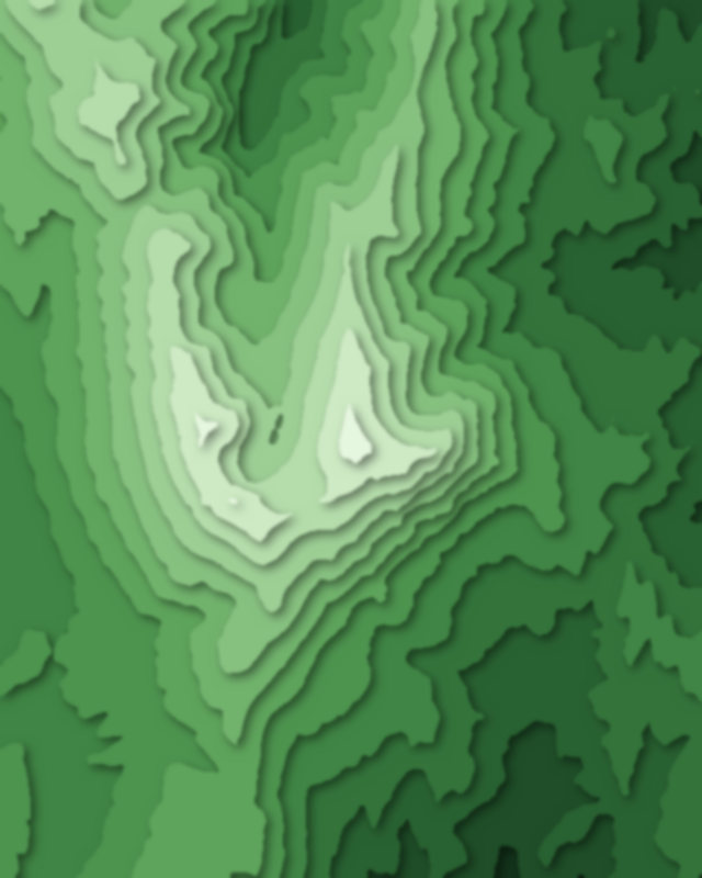
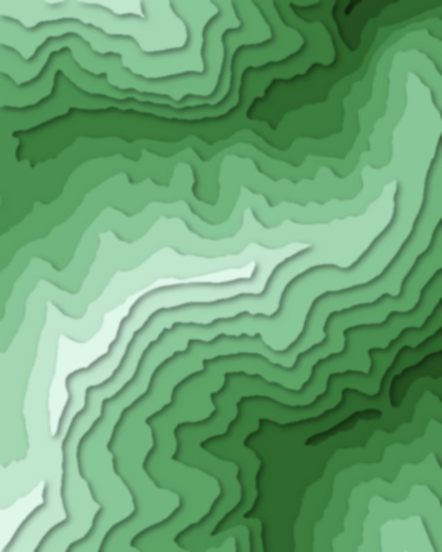
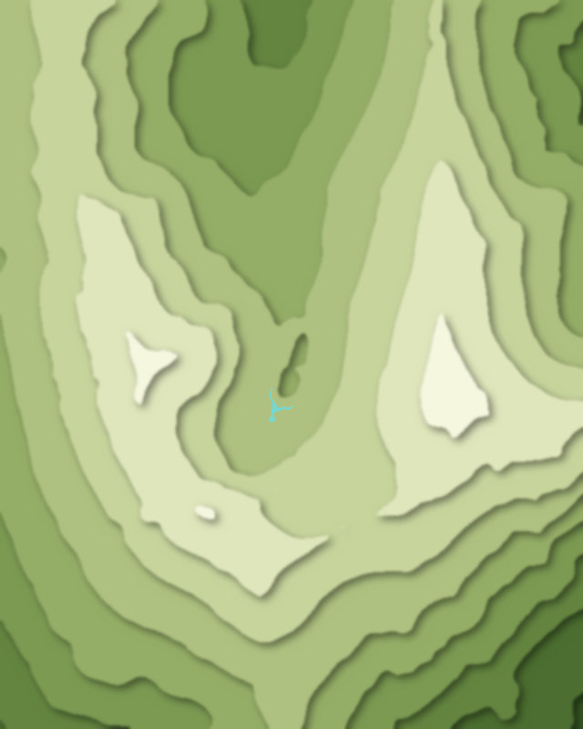
Map of 3 places in Sibillini Mountains National Park: 2 peaks and 1 lake, each with a 3D terrain model, contours and an elevation profile.
- Peak
- Lake
Peaks
2 peaks
Lakes
1 lake

Camping and parking in Sibillini Mountains National Park
Campsites, huts, car parks and trailheads mapped in OpenStreetMap near the park's places, each under the place it is nearest to, by straight-line distance. Check access, fees and permits locally.
Campsites 3
Camping Vettore
Altino Campi Scout
Altino Campi Scout
Caravan sites 2
sosta Forca di Presta
Caravan site
Huts 3
Bivacco Tito Zilioli
Rifugio mezzi litri
AgriMusicismo CantaAntonella
Parking 3
Parking
Parking
Parking
Trailheads 3
Sentiero dei Mietitori
Sentiero Monte Vettore - Lago di Pilato
Sentiero per tutti