Mountains
Shikotsu-Tōya National Park Map: Lakes, Peaks and Camping
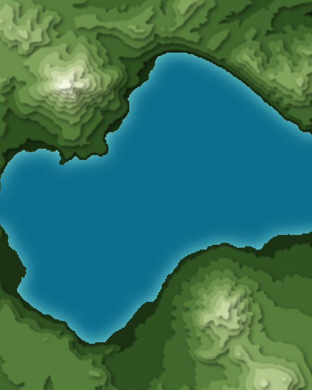
Map of 7 places in Shikotsu-Tōya National Park: 5 peaks and 2 lakes, each with a 3D terrain model, contours and an elevation profile.
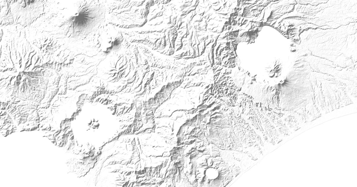
- Peak
- Lake
Peaks
5 peaks





Lakes
2 lakes


Camping and parking in Shikotsu-Tōya National Park
Campsites, huts, car parks and trailheads mapped in OpenStreetMap near the park's places, each under the place it is nearest to, by straight-line distance. Check access, fees and permits locally.
Campsites 9
湖畔の焚き火場ちゃいはなキャンプ場
ポロピナイキャンプ場
登別野営場
森と木の里センター
いずみ温泉キャンプ場
More 4
美笛キャンプ場
有珠海水浴場
モラップキャンプ場
つどいの館 キャンプ場
Huts 1
樽前山七合目ヒュッテ
Parking 9
Parking
Parking
洞爺湖園地
Parking
大湯沼駐車場
More 4
登別地獄谷
Parking
Parking
Parking
Trailheads 1
樽前山七合目登山口