Rocky Mountain National Park Map: Lakes, Canyons and Camping
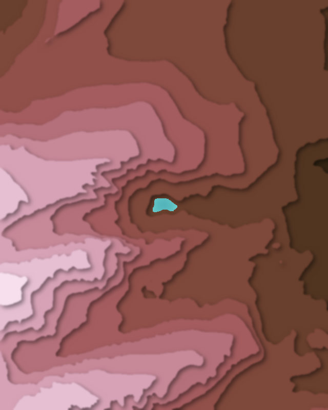
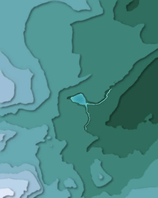
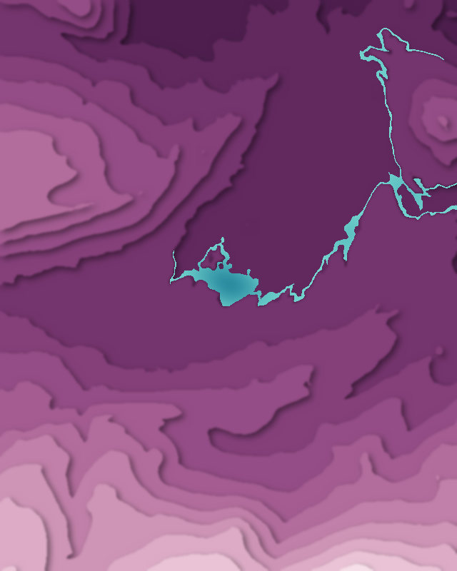
Map of 5 places in Rocky Mountain National Park: 3 lakes, 1 canyon and 1 pass, each with a 3D terrain model, contours and an elevation profile.
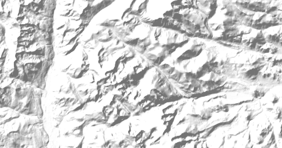
- Lake
- Pass
- Canyon
Lakes
3 lakes
Canyons
1 canyon
Passes
1 pass

Camping and parking in Rocky Mountain National Park
Campsites, huts, car parks and trailheads mapped in OpenStreetMap near the park's places, each under the place it is nearest to, by straight-line distance. Check access, fees and permits locally.
Campsites 14
Upper Wind River
Over The Hill
Glacier Basin Campground
Andrews Creek
Sourdough Campsite
More 9
Upper Mill Creek
Campsite
Timber Creek Campground
Odessa Lake Campsite
Timber Creek
Timber Creek
Little Rock Lake
Upper Chipmunk West
Upper Chipmunk East
Caravan sites 3
Elk Meadow Lodge & RV Resort
Spruce Lake RV Park
Manor RV Park
Parking 12
Parking
Bowen - Baker
Parking
Parking
Parking
More 7
Glacier Gorge Junction
Parking
Parking
Parking
Coyote Valley
Parking
Parking
Trailheads 12
Fall River Pass Trailhead
Bear Lake Trailhead
Sprague Lake Trailhead
Bowen-Baker Trailhead
Glacier Gorge Trailhead
More 7
Park & Ride Trailhead
Bierstadt Lake/Storm Pass Trailhead
Coyote Valley Trailhead
Bierstadt Lake Trailhead
Chapin Pass Trailhead
Timber Creek Campground Trailhead
Rock Cut Trailhead