Also on the map ofMassif Central
Puy de Sancy
- Easiest route
- 0.9 km+156 m · about 0.5 h · T2
- Prominence
- 1,578 m5,177 ft
- Tonight
- -1°CCloudy · Wind 15 km/h SE
Puy de Sancy is a 1,885 m (6,184 ft) extinct volcano in the Monts Dore, Auvergne-Rhône-Alpes, France.
All facts
- Elevation
- 1,885 m · 6,184 ft
- Range
- Monts Dore
- Region
- Auvergne-Rhône-Alpes, France
- Protected area
- Réserve naturelle nationale de Chastreix-Sancy
- Spanish name
- Pico de Sancy
- Coordinates
- 45.5282° N, 2.8140° E
How to get to the top of Puy de Sancy
2 mapped walking routes from where a car can get you, with distance and climb from the terrain model.
Easiest route: from Road end, 0.6 km E of Puy de Sancy
- Distance
- 0.9 kmone way
- Climb
- +156 m−7 m (512 ft up)
- Time up
- about 0.5 h
- Difficulty
- T2Mountain trail, sure footing needed
Routes © OpenStreetMap contributors, available under the ODbL. Climb from the terrain model. Trails change and maps miss things: check conditions locally.
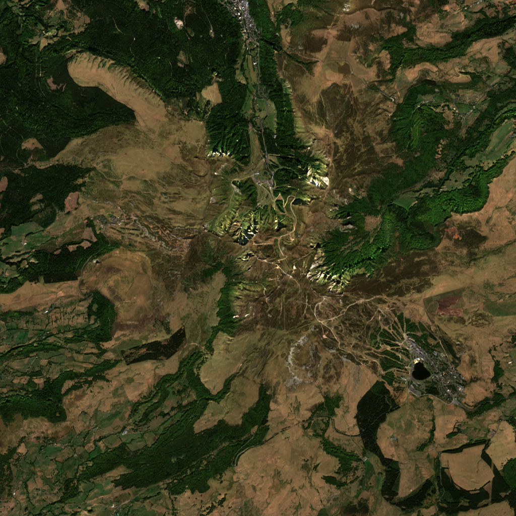
Puy de Sancy 3D map
Drag to orbit · click, then scroll to zoom (or Ctrl/⌘ + scroll) · One finger scrolls the page · two fingers orbit and zoom · 10.4 × 10.4 km
Puy de Sancy terrain and contours
50 m contours from the Copernicus GLO-30 terrain model. The route drawn is the easiest mapped one. Click two points on the map to draw your own cross-section.Tap two points on the map to draw your own cross-section.
West → east through the summit
Puy de Sancy weather
Tonight · Cloudy · -1°C (30°F) · Wind 15 km/h SE
Puy de Sancy forecast for the summit, about 1,885 m.
- Tonight-1°–15 km/h SE
- Today-2°3°3.2 mm16 km/h S
- Fri-4°3°–10 km/h NW
- Sat-4°4°–10 km/h E
- Sun-2°6°–13 km/h S
- Mon3°7°3.1 mm18 km/h S
- Tue4°8°2.1 mm18 km/h S
- Wed4°8°4.5 mm21 km/h S
- Thu3°9°0.9 mm8 km/h SW
- Fri2°4°8.2 mm26 km/h SW
Forecast data: MET Norway, CC BY 4.0; daily low and high, precipitation total and strongest wind from the hourly data, model run Nov 5, 01:17 UTC.
Camping & parking near Puy de Sancy
Campsites, parking, trailheads and mountain huts mapped in OpenStreetMap around Puy de Sancy, nearest first, by straight-line distance. Check access, fees and permits locally.
Nearest parking
1.5 km N
Nearest hut
Chalet du Sancy
Nearest campsite
Aire de bivouac de Chastreix
Nearest caravan site
Aire de Camping-Car de CHASTREIX
All mapped places 12
| Place | Distance |
|---|---|
| Parking | 1.5 km N |
| Parking | 1.6 km N |
| Parking | 1.6 km N |
| Chalet du SancyHut | 2.1 km N |
| Aire de bivouac de ChastreixCampsite | 2.9 km WNW |
| Aire de Camping-Car de CHASTREIXCaravan site | 3.0 km WNW |
| Refuge de MerdençonHut | 3.0 km SW |
| Aire de bivouac de Super-BesseCampsite | 3.5 km ESE |
| Aire de la BicheCaravan site | 4.1 km SE |
| Aire de bivouac autorisé / réserve d'eau non potable sauf hiver / feux interditsCampsite | 4.6 km WNW |
| Le Buron de la Croix Saint-RobertHut | 4.7 km NE |
| Aire de camping-car des CrouzetsCaravan site | 5.6 km N |
How steep is the route to Puy de Sancy?
The easiest mapped route, 0.9 km from 1,720 m to 1,885 m. Steepest stretch: 39°.
- 0–15°0.7 km
- 15–30°0.1 km
Grades are averaged between profile points about 20 m apart, so short steeper steps don’t show.
Land cover
ESA WorldCover 10 m classification of the same area.
Snow & ice means glaciers and year-round snow (a yearly average), not today’s snow cover.
Nearby summits
Named peaks within 5.2 km, measured from the Puy de Sancy summit.
Summit list 8
- 1Puy Redon1,781 m 0.7 km NW
- 2Puy Gros1,793 m 0.9 km S
- 3Puy Ferrand1,854 m 1.0 km ESE
- 4Tour Carrée1,738 m 1.2 km WNW
- 5Puy de Cacadogne1,784 m 1.5 km NE
- 6Puy de la Perdrix1,825 m 1.5 km ESE
- 7Puy des Crebasses1,762 m 1.9 km NE
- 8Roc de Cuzeau1,737 m 2.7 km NNE
Where Puy de Sancy sits
- Range
- Massif Central10
- Region
- Auvergne-Rhône-Alpes45France195Europe2,374
Ranked in 1
Nearby places
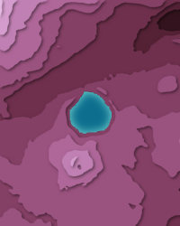 Lac PavinLake · 1,197 m↑6.8 km ESE
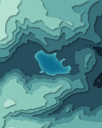 Chambon lake875 m↑9.6 km ENE
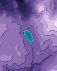 Lac de GuéryLake · 1,244 m↑9.7 km N
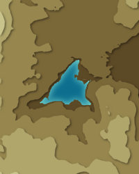 Lac d'AydatLake · 837 m↑20 km NE
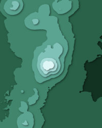 Puy de DômePeak · 1,465 m↑30 km NNE
More in the Massif Central 6
Puy de Sancy downloads: topographic map, heightmap, STL 3D model and DEM
Free files made in your browser from this page's terrain data. No sign-up; credit the sources below.
Print & wall
3D printing & 3D apps
Free to use with credit: see the data sources
How accurate is this?
within 10 m This 3D map reads 1,876 m at the summit; the official height is 1,885 m.
A 30 m terrain model averages each cell, so a few metres either way is normal.
| Source | Summit | Difference |
|---|---|---|
| Official height (Wikidata) | 1,885 m | — |
| Copernicus GLO-30 (used on this page) | 1,876 m | -9 m |
| Copernicus GLO-90 | 1,860 m | -25 m |
Data sources
- Terrain
- Produced using Copernicus WorldDEM-30 © DLR e.V. 2010-2014 and © Airbus Defence and Space GmbH 2014-2018 provided under COPERNICUS by the European Union and ESA; all rights reserved. The European Union, ESA, DLR and Airbus incur no liability for any use of this data and do not endorse this service.
- Imagery
- Contains modified Copernicus Sentinel data 2026 (scene 2026-09-23)
- Land cover
- © ESA WorldCover project 2021 / Contains modified Copernicus Sentinel data (2021) processed by ESA WorldCover consortium
- Facts
- Wikidata (CC0)
- Routes, Camping & parking
- © OpenStreetMap contributors (ODbL)
- Summits
- © OpenStreetMap contributors, via Overture Maps Foundation (ODbL)
- Accuracy comparison, Panorama
- Includes Copernicus WorldDEM-90 © DLR e.V. 2010-2014 and © Airbus Defence and Space GmbH 2014-2018 provided under COPERNICUS by the European Union and ESA; all rights reserved. The European Union, ESA, DLR and Airbus incur no liability for any use of this data and do not endorse this service.
- Forecast
- Weather forecast from MET Norway (CC BY 4.0)
- Sources
- Wikidata · OpenStreetMap · GeoNames · Wikipedia